
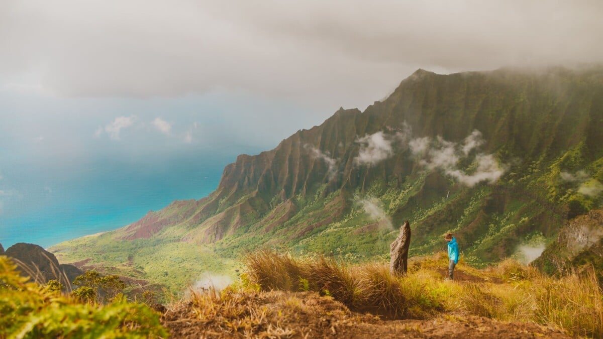
The Nualolo and Awaawapuhi Trail Loop is a demanding Kauai day hike linking the Nualolo Trail, Nualolo Cliff Trail and Awaawapuhi Trail, with a road walk between the two trailheads. Allow seven to nine hours for roughly 10 to 11 miles, substantial climbing and the real possibility of slippery, muddy conditions.
The route crosses Kōkeʻe’s high country before reaching two major Na Pali Coast viewpoints. This is a proper hiking day rather than a quick scenic stroll: the outward sections descend, so the sustained climb comes when your legs are already a bit fed up. Start early, carry more water than feels fashionable, and check conditions before committing.
What Is the Nualolo and Awaawapuhi Trail Loop?
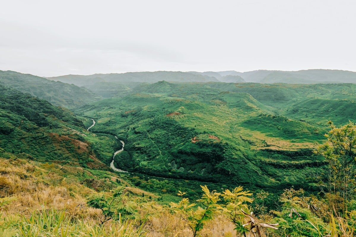
This route combines three connected trails on Kauai’s west side. Hikers descend Nualolo Trail to the Nualolo Cliff Trail junction, follow the cliff trail along the ridgeline, then climb Awaawapuhi Trail back to Kōkeʻe Road. The final section is a road walk back to the first trailhead.
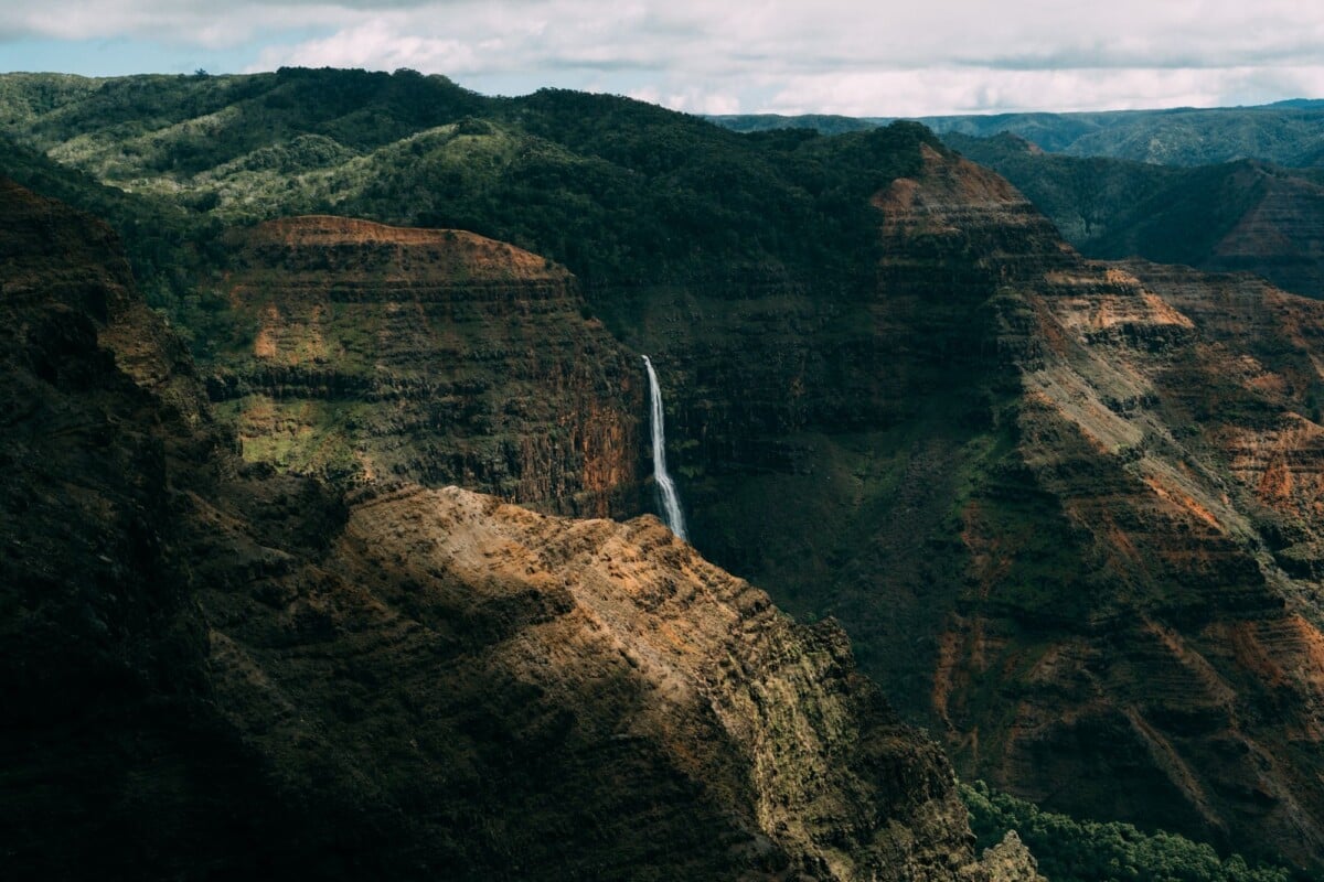
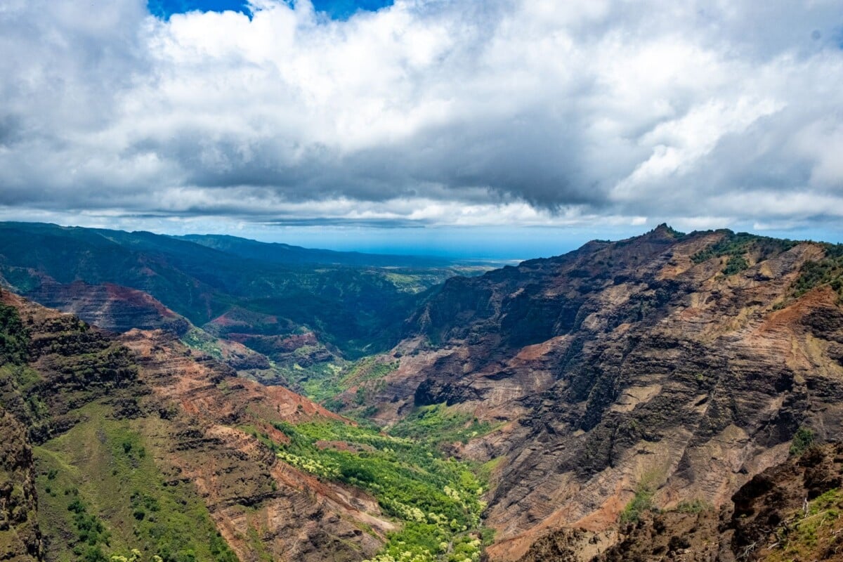
The main draw is the pair of viewpoints over the Na Pali Coast. Nualolo looks across remote valleys and ridges, while Awaawapuhi reaches a narrow promontory above the coast. Cloud, rain and wind can affect both viewpoints, so a clear forecast is useful but never a guarantee.
The trails are often described as a loop, although the final road section means it is not a continuous woodland circuit. It is best suited to fit hikers comfortable with uneven ground, exposed viewpoints and a long uphill finish.
Nualolo and Awaawapuhi Loop Distance, Time and Difficulty
| Route Section | Approximate Distance | What To Expect |
|---|---|---|
| Nualolo Trail | 3.8 miles one way | Long descent through forest and open terrain to the Nualolo Cliff Trail junction. |
| Nualolo Cliff Trail | About 2.2 miles | Undulating traverse between the two main trails, with coastal views in clearer weather. |
| Awaawapuhi Trail | About 3.25 miles one way | Steep, sustained climb back uphill to Kōkeʻe Road. |
| Kōkeʻe Road walk | About 1 to 1.5 miles | Roadside return between trailheads. Watch for vehicles and changing visibility. |
Expect around 10 to 11 miles in total, depending on your exact parking spot and any short viewpoint detours. Published trail descriptions vary slightly because mapping apps may record the road segment, junction approach and viewpoint spurs differently.
A realistic moving time is six to eight hours, with longer needed for wet ground, route-finding pauses, photos and a proper lunch break. Plan for seven to nine hours door to door. The elevation profile is deceptive: you lose much of the height early, then regain it on Awaawapuhi Trail, where a steady pace matters more than heroic speed.
The State of Hawaii classifies backcountry travel in this area as potentially hazardous. Check the Hawaii Department of Land and Natural Resources Na Pali Coast State Wilderness Park information for alerts, closures and official park guidance before setting out.
Recommended Route: Nualolo Trail to Awaawapuhi Trail
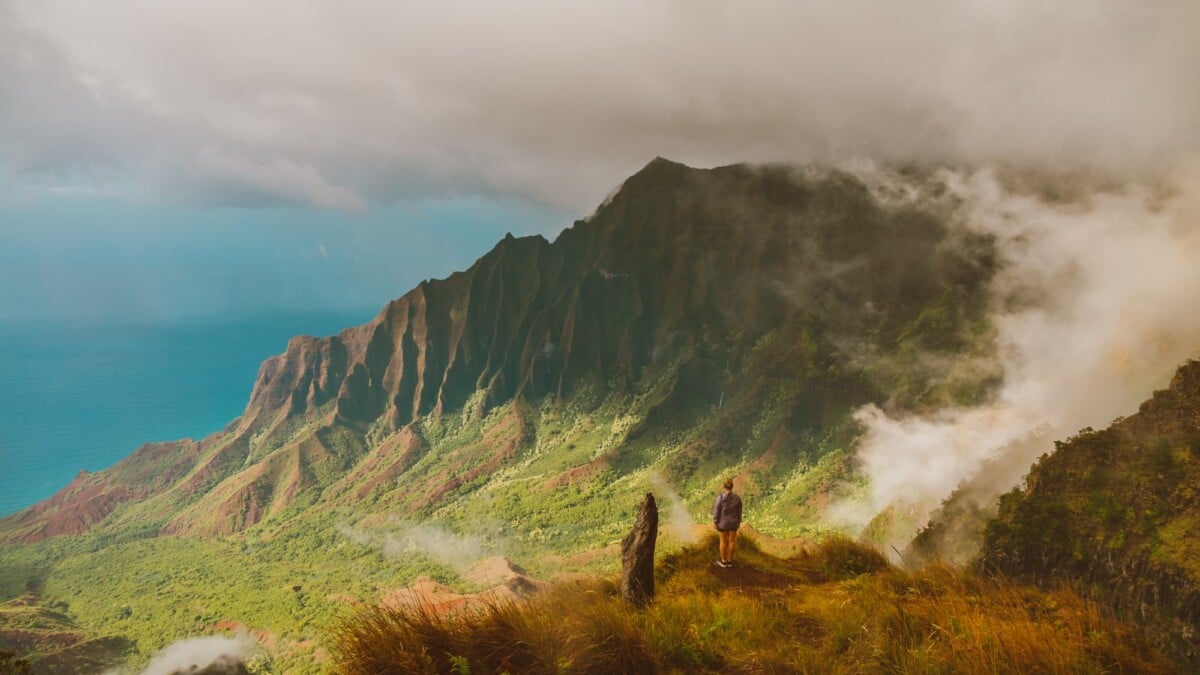
Most hikers tackle the loop by descending Nualolo Trail first and climbing Awaawapuhi Trail at the end. This puts the longer descent first, saves the Awaawapuhi viewpoint for later in the day, and leaves the straightforward road walk until the end.
- Park at or near the Nualolo Trail trailhead on Kōkeʻe Road.
- Follow Nualolo Trail downhill through forest and drier, more open sections.
- Take the signed Nualolo Cliff Trail connection towards Awaawapuhi.
- Visit viewpoints only when conditions feel safe. Wet rock and strong gusts deserve a wide margin.
- Turn onto Awaawapuhi Trail and climb steadily back to Kōkeʻe Road.
- Walk the road back to the Nualolo Trail parking area.
The reverse direction works, but starts with the longest climb and may leave the Nualolo viewpoint until later, when cloud often gathers along the cliffs. Choose it only if it better suits your transport plan or you have a clear reason to prefer an early uphill effort.
Do not rush the Nualolo Cliff Trail. Its surface can be narrow, rooty and muddy after rain, and the exposed coastal sections are a poor place to discover that your shoes have no grip.
How To Reach the Trailheads
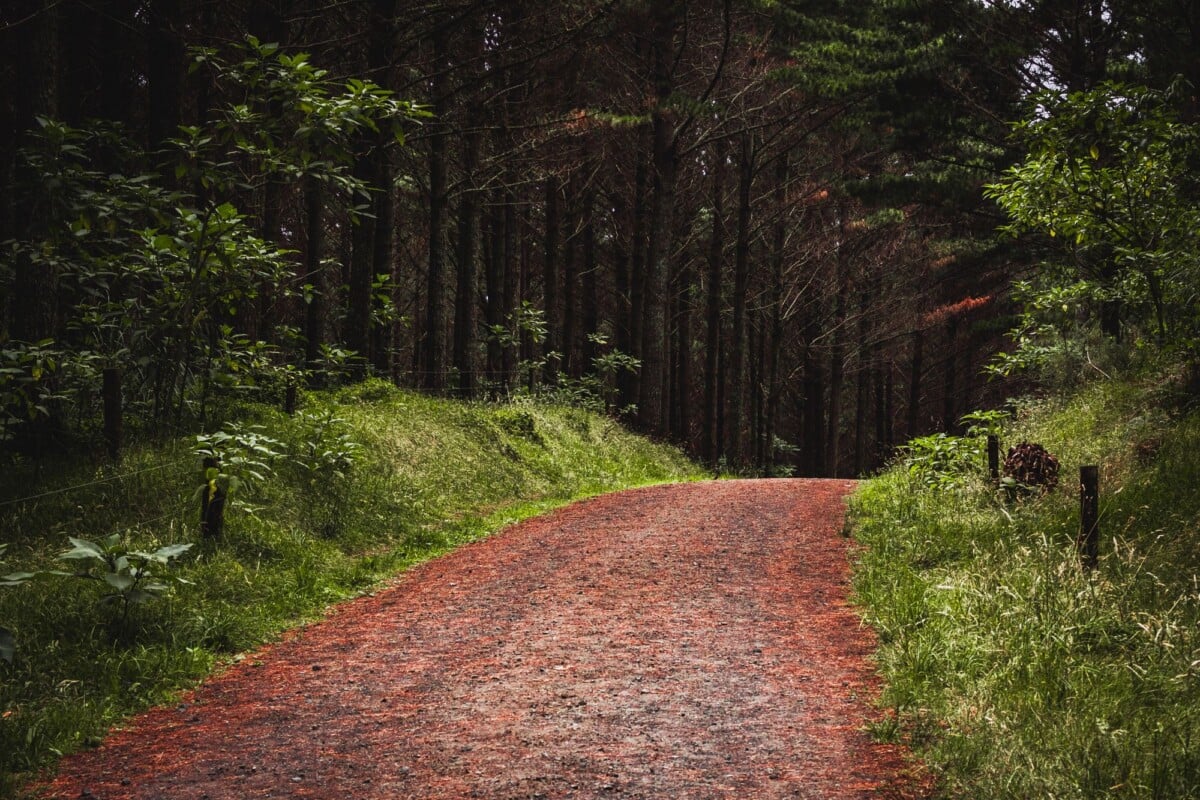
The Nualolo and Awaawapuhi trailheads sit off Kōkeʻe Road in the uplands above Waimea, on Kauai’s west side. A rental car is the practical choice for most holidaymakers, as public transport does not provide a useful service to these trailheads.
Drive up from Waimea through Waimea Canyon State Park and continue towards Kōkeʻe. The route is paved but winding, often wet at higher elevation, and can be affected by storms, fallen trees or maintenance. Fill the fuel tank before the mountain drive, as services near the trailheads are limited.
Trailhead parking is limited and conditions can change. Arrive early, avoid blocking gates or roadside access, and do not leave valuables visible. Check Kauai County’s road closure updates alongside park notices after heavy rain or strong winds.
There are basic visitor facilities around Kōkeʻe, but do not rely on finding water, food or dependable mobile signal at the trailhead. Download maps before the drive, and tell someone your intended route and expected return time.
Weather, Mud and Na Pali Coast Safety
Kōkeʻe is much cooler and wetter than Kauai’s beaches. A warm morning in Poʻipū or Līhuʻe says very little about visibility on the plateau. Rain can turn packed earth into slick clay, create puddles and leave roots and rocks slippery all day.
Check the National Weather Service Honolulu forecast and hazard information before leaving your accommodation. Watch for flash flood watches, high wind alerts and thunderstorms, then reassess at the trailhead if cloud is sitting heavily over the ridge.
- Keep well back from cliff edges. Rock can be unstable, wet grass can slide, and wind gusts are stronger than they feel in sheltered forest.
- Wear shoes with reliable tread. Trail runners work in dry conditions, while hiking shoes or boots can offer more confidence in prolonged mud.
- Carry a waterproof layer even on a bright morning. Kōkeʻe rain has a habit of appearing just after the optimistic packing decision.
- Bring an offline map and a physical backup if you have one. Phone signal is patchy.
- Turn around if visibility, footing or weather deteriorates. The coast will still be there on another day.
There are no guardrails at the main viewpoints. Treat every photo stop as exposed terrain, keep children close, and never step beyond established ground for a clearer angle.
What To Pack for This Kauai Hike

For the full loop, carry enough supplies to be self-sufficient for a longer-than-planned day. Water needs vary with temperature, fitness and pace, but a small bottle is not enough for a route with several hours of climbing.
- At least 2 to 3 litres of water per person, plus an additional treatment method if you are experienced in using one.
- High-energy food, including lunch and snacks that still sound appealing after a wet climb.
- A light waterproof jacket and warm layer.
- Trail shoes or boots with firm tread, plus spare socks in the vehicle.
- Offline maps, a charged phone, power bank and a small torch or headlamp.
- Sun protection, insect repellent, basic first-aid supplies and a whistle.
No products found.
Trekking poles can help on the descent and add stability in mud. They are particularly useful if your knees object to a long downhill, which is common enough and not a character flaw.
For another practical US park trail comparison, see our guide to Congaree National Park trails, which breaks down distance, surfaces and facilities. For other US trail-planning ideas, compare terrain and route choices in this Mist Trail vs John Muir Trail guide for Vernal and Nevada Falls.
When To Hike Nualolo and Awaawapuhi
An early start gives you the best chance of cooler temperatures, a quieter trailhead and enough daylight for a cautious pace. Morning conditions can also bring better coastal visibility before clouds build, although weather patterns are never fixed.
Kauai can receive heavy rain at any time of year. The higher Kōkeʻe area is generally wetter than the island’s resort zones, and winter storms can bring stronger winds and poor visibility. Summer may bring drier spells but does not remove the need for rain gear or traction.
Set a turnaround time before you start. If the cliff trail is slow because of mud, fog or an injury, use the clock honestly. Finishing the Awaawapuhi climb in fading light is a miserable way to learn how far away the car really is.
Where To Stay for the Nualolo and Awaawapuhi Loop
Waimea is the closest practical town for an early trail start, while Poʻipū has more accommodation and dining options but adds driving time. Staying on Kauai’s south or west side keeps the mountain journey shorter than basing yourself on the North Shore.
If you are building a wider Kauai itinerary around hiking, allow recovery time for the drive down from Kōkeʻe and a beach day elsewhere on the island. Our guide to Hawaiian beaches with easy access can help with the less muddy part of the plan.
Common Route-Planning Mistakes
- Planning only for the descent: the hard work comes on the return climb up Awaawapuhi Trail.
- Using a beach forecast: check mountain conditions and official alerts for Kōkeʻe and the Na Pali area.
- Skipping the road-walk calculation: the trailheads are separate, so include time and energy for the final return.
- Assuming viewpoints are safe in rain: fog, wind and wet ground can make exposed edges hazardous.
- Starting late: this is a full-day hike, especially after rain or when the group includes slower walkers.
- Leaving maps until the trailhead: download them while you have reliable Wi-Fi or signal.
Frequently Asked Questions
How Long Is the Nualolo and Awaawapuhi Trail Loop?
The combined hiking route plus road return is roughly 10 to 11 miles. The exact total depends on parking position, viewpoint detours and the map platform used.
How Hard Is the Nualolo and Awaawapuhi Loop?
The loop is strenuous because it involves a long day, uneven and potentially muddy trails, exposed viewpoints and a sustained uphill finish. It suits prepared hikers with good fitness and experience of rough terrain.
Can You Shuttle Between the Nualolo and Awaawapuhi Trailheads?
Two vehicles can remove the road walk if one is parked at each trailhead before hiking. Most independent hikers complete the route as a loop and walk the road section back to their vehicle.
Do You Need a Permit for the Nualolo and Awaawapuhi Day Hike?
Day-hike rules and closures can change, so confirm requirements with the Hawaii Department of Land and Natural Resources before travel. Permits are generally associated with camping and certain restricted areas, but official notices take priority over older trail information.
Is the Trail Suitable for Children?
Confident older children with hiking experience may manage it in good conditions, but the distance, mud, steep drop-offs and unprotected viewpoints require close supervision. Families looking for a shorter outing may prefer a less exposed Kōkeʻe walk.