
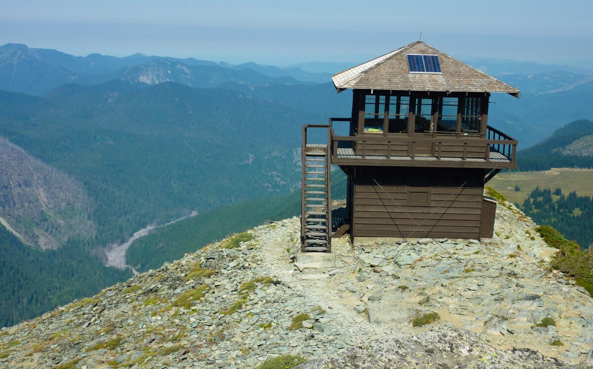
Mount Fremont Lookout Trail is a 5.6-mile return hike from the Sunrise area of Mount Rainier National Park, with roughly 1,200 feet of elevation gain. It is a practical choice for fit day-hikers after high-country views and a historic fire lookout, but access depends on Sunrise Road’s seasonal opening and current park-entry rules.
Allow three to four hours for the walk, plus time for parking and changing weather. This is an exposed high-elevation route, so a blue-sky start is no excuse for leaving warm layers behind or skipping a proper forecast check.
Mount Fremont Lookout Trail Access and Parking
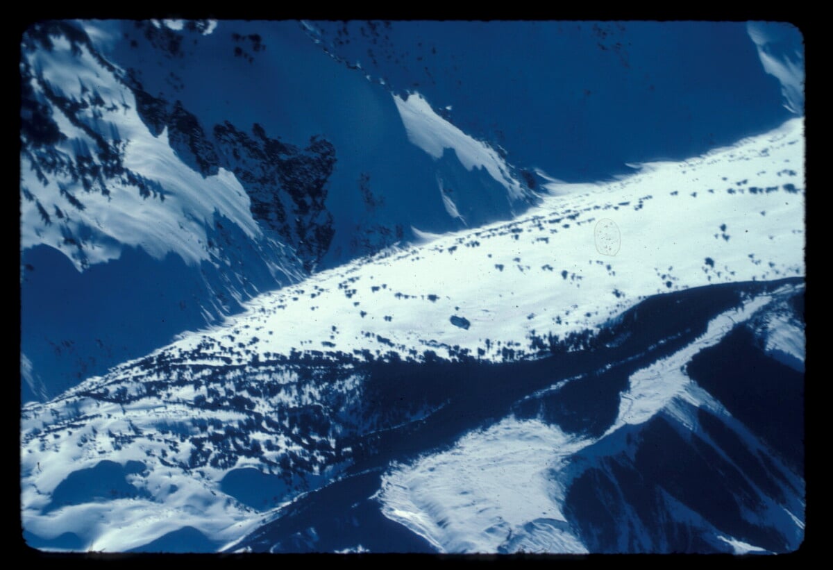
The trail starts at Sunrise, on the northeast side of Mount Rainier National Park. Drive to the Sunrise parking area via Sunrise Road, which branches off State Route 410. The road is normally seasonal because of snow, and opening and closing dates vary with conditions. Check Mount Rainier’s current road-status information before you set off. A navigation app is useful, but it cannot tell you that a mountain road has shut.
Sunrise is a busy summer base, and its car parks can fill early on clear weekends. Arrive early, use the signed parking areas and do not leave your vehicle on roadside verges. There is no public transport to the Sunrise trailhead, so you will need your own vehicle or an organised lift.
All vehicles entering Mount Rainier National Park need an entrance pass. The park also operates timed-entry reservations at certain times of year and day. The exact operating period, release dates and affected entrances can change, so check the current timed-entry rules before booking accommodation or fixing your start time.
Mount Fremont Lookout Trail Route and Difficulty
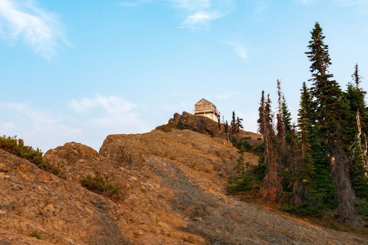
From Sunrise, follow signs for Sourdough Ridge and Mount Fremont. The route begins on open ground with broad park views, follows the ridge, then turns towards the lookout. The final approach crosses rocky, exposed terrain and can be noticeably colder or windier than the car park.
The National Park Service lists the outing as 5.6 miles return with about 1,200 feet of elevation gain. Most climbing is gradual, but the distance, altitude and lack of shade make it tougher than the mileage suggests. Take your time if you have just arrived from sea level, and turn back if fog, lightning or strong winds move in.
- Trailhead: Sunrise parking area
- Distance: 5.6 miles return
- Elevation gain: approximately 1,200 feet
- Typical time: three to four hours, including breaks
- Best season: summer to early autumn, once Sunrise Road and the route are snow-free
For a useful comparison of another popular US national-park hike with serious elevation and surface considerations, see our Mist Trail vs John Muir Trail guide. Conditions are very different, but the planning principle is the same: choose a route that suits the weather, your footwear and your fitness.
If you are weighing up shorter and longer national-park walks, our Bryce Canyon hikes comparison is another practical way to compare distance, elevation gain and time.
Park Requirements, Wildlife and Safety
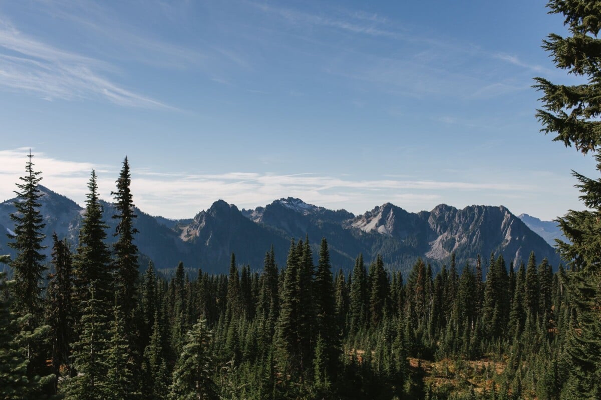
Day-hikers do not need a wilderness permit for the Mount Fremont route, but must follow park rules and any temporary closures. Pets are not allowed on park trails, and drones are prohibited in national parks. Check current Mount Fremont Lookout route notices before travelling.
Black bears, deer and smaller wildlife live in the park. Keep food secured, never feed animals, stay alert around blind bends and give every animal plenty of room to move away. Make noise where visibility is limited, and keep children close.
Carry more water than you expect to need. Water sources along this exposed ridge should not be assumed available or safe to drink. Download maps before leaving, as phone signal can be patchy. Snow can linger well into summer, so traction devices may be sensible early or late in the access season.
What To Pack for the Mount Fremont Hike
A small day pack is enough for many hikers if it carries the basics comfortably. Sunrise weather can change quickly, and the lookout is a poor place to discover your spare layer is still in the car. Even a mild reading of 59°F with broken cloud and 44% humidity in the park (as of October 2026) is no reason to skip a windproof layer on the ridge.
- Water, snacks and a packed lunch
- Windproof waterproof shell and warm mid-layer
- Sturdy hiking shoes with grip
- Offline map, charged phone and small power bank
- Sun protection, as much of the trail is open
- Headtorch if there is any chance of a late finish

We earn a commission if you buy through this link, at no extra cost to you.
If you are building a longer driving holiday around hiking stops, our American Southwest hiking road trip itinerary has practical ideas for balancing trail days, driving and overnight bases. For another national-park route-planning comparison, see our Carlsbad Caverns tours and trails guide, which weighs difficulty, duration and accessibility.
Mount Fremont Lookout Trail FAQs
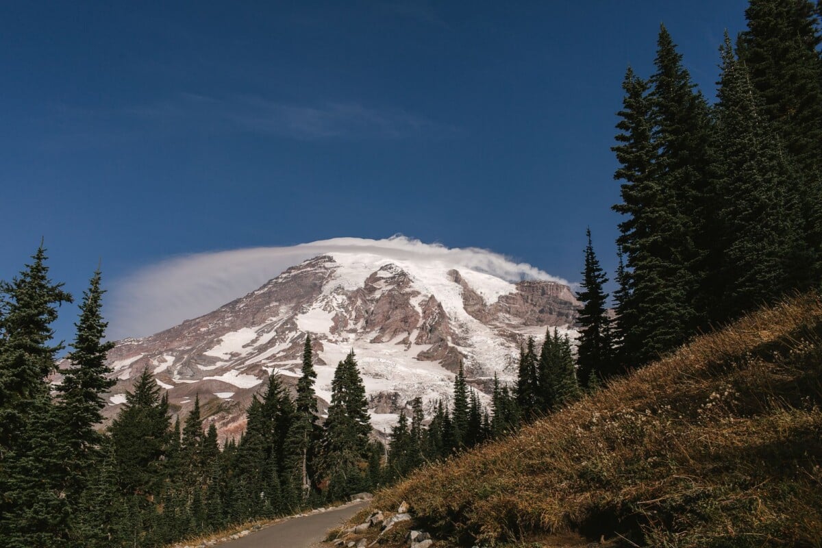
Can You Drive to Mount Fremont Lookout?
No. You can drive to the Sunrise parking area, then hike 2.8 miles each way to Mount Fremont Lookout. The route is not a vehicle road.
Do You Need a Reservation for Mount Fremont Lookout Trail?
The hike itself does not require a trail reservation. You need a Mount Rainier entrance pass, and a timed-entry reservation may apply at Sunrise during the park’s published reservation period.
Is Mount Fremont Lookout Trail Suitable for Beginners?
Confident beginners with suitable footwear and enough time can manage it in dry summer conditions. The distance, elevation, exposure and fast-changing mountain weather make it a better fit for hikers prepared for a full half-day outdoors.