
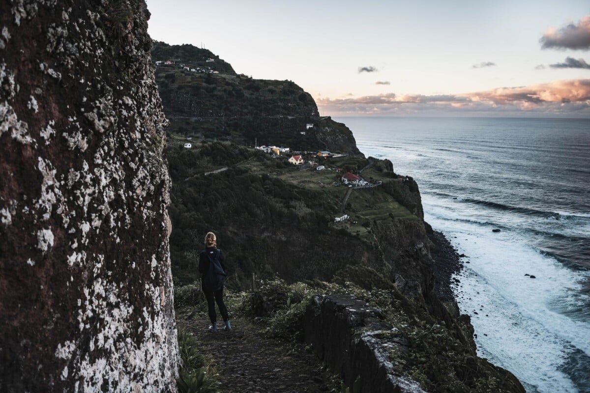
Vereda do Larano is a linear coastal hike on Madeira’s east coast, linking Machico and Porto da Cruz via clifftop paths around Boca do Risco. Allow 4 to 5 hours for the full route, sort transport at both ends, and take the exposed coastal sections seriously if wind, rain or low cloud are forecast.
It is a rewarding walk for confident hikers comfortable on narrow paths with steep drop-offs. This is not a technical climb, but the sustained uphill walking, uneven ground and exposure make good footwear and sensible weather decisions more important than the headline distance might suggest.
Vereda Do Larano Route at a Glance
| Route Detail | What To Plan For |
|---|---|
| Route type | Linear hike between Machico and Porto da Cruz |
| Typical distance | About 12 km for the full Machico to Porto da Cruz route |
| Typical walking time | About 4 to 5 hours, excluding transport stops |
| Highest section | The ridge and coastal paths near Boca do Risco |
| Difficulty | Moderate for fit walkers, with exposed sections |
| Best direction | Machico to Porto da Cruz for a longer early climb and a downhill finish |
The figures above are practical planning estimates, not a promise that every GPS recording will match. Total ascent varies by starting point, navigation choices and any detours in Machico or Porto da Cruz. Expect a substantial climb out of Machico, then rolling coastal terrain and a descent towards Porto da Cruz.
The route is often described as a 12 km hike, although some walkers begin at Boca do Risco and complete only the coastal section. That shorter route removes much of the climb, but it still includes the narrowest and most exposed parts of the walk.
The Vereda Do Larano Route Explained
Starting in Machico gives the day a straightforward rhythm: town streets and tracks first, a steady climb to Boca do Risco, then the coastal traverse around Larano before the final descent to Porto da Cruz. An early start helps because the uphill section can be warmer than it looks on a map, while the exposed coast is less pleasant if afternoon wind gets up.
The main stages are:
- Machico to Boca do Risco: Follow uphill lanes and paths out of Machico towards the ridge. This is the day’s most sustained climb and the section where route-finding can feel least obvious.
- Boca do Risco to Larano: The path reaches open coastal ground with wide views over Madeira’s east coast. Wind, cloud and exposure are the main considerations here.
- Larano to Porto da Cruz: Continue along undulating cliff paths, then descend through cultivated land and local tracks towards Porto da Cruz.
Do not rely on paint marks alone. Madeira trails can share tracks with farm access, and signs may be obscured by vegetation or weather. Download an offline map before leaving Machico, and keep enough battery to use it late in the walk.
Trail conditions and seasonal restrictions can change a point-to-point hiking plan quickly, so check access details before committing to transport at either end.
How Much Elevation Does the Trail Have?
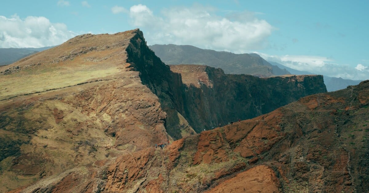
The full route involves roughly 500 to 700 metres of cumulative ascent on many GPS recordings, although no single figure applies to every version. The climb from Machico to the Boca do Risco area accounts for most of it. The coastal section is not flat, so save some energy for its short rises and dips.
Elevation is only part of the difficulty. The narrow coastal trail needs concentration, particularly where loose stones, wet mud or vegetation reduce the usable width of the path. A modest-looking height profile can be misleading when one side of the track falls sharply to the sea.
For a shorter day, arrange a taxi to Boca do Risco and walk the coastal route down to Porto da Cruz. You still need the same weather checks, footwear and comfort with exposure as on the full route.
Vereda Do Larano Access and Transport Logistics
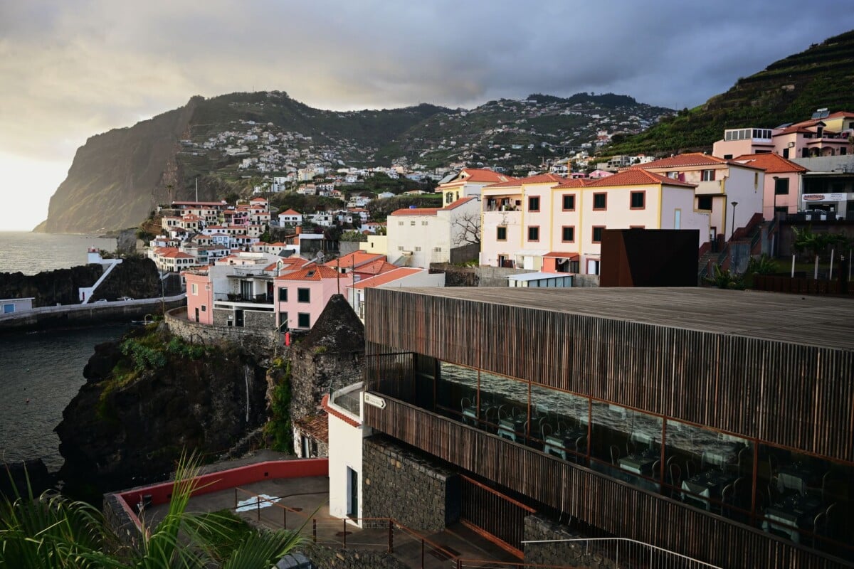
Machico is the simplest place to start, with services, food shops and more transport connections than the rural trail access points. Porto da Cruz is a practical finish, with places to eat and onward road connections, but bus frequency can be limited and changes by day and season.
Driving and Parking
With a hire car, the issue is that this is a linear route. Park in Machico and you need to return there after finishing in Porto da Cruz; park in Porto da Cruz and the same problem applies if you begin in Machico. A taxi at one end can be the least fiddly option, particularly for couples or small groups.
A second car at the finish works if your group has two vehicles. Do not leave valuables visible, and avoid blocking narrow lanes, agricultural entrances or residents’ access. Madeira roads are steep enough without adding a parking dispute to the day.
Using Public Transport
Public buses can connect the east-coast towns, but do not base your hiking plan on catching the final bus after a delayed descent. Check the current timetable directly with the operator before setting out, then save a taxi number or booking app as a backup. Limited service is a good practical reason to start early.
If you are staying in Funchal, allow travel time for getting to Machico and returning from Porto da Cruz. A hotel transfer or taxi can make sense for an early start, especially if the bus timetable leaves little margin.
Current Trail Closures and Official Guidance
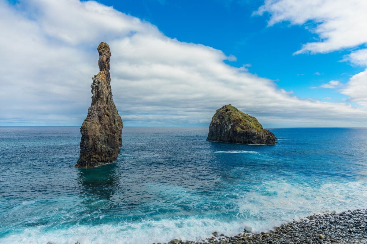
Check the route status on the morning of your hike. Madeira paths can close after heavy rain, landslides, wildfire risk, maintenance work or storm damage. A route that was passable last week may be unsafe today, especially on coastal slopes where fallen rock and erosion can be slower to clear.
The Institute of Forests and Nature Conservation’s recommended walks information is the official starting point for Madeira trail notices. Check it alongside local weather information, and follow barriers and closure signs even if an offline route file says the path continues.
The Larano route includes local paths as well as the better-known coastal traverse, so it is sensible to ask your accommodation or a local taxi driver about very recent disruption. That is useful local information, not permission to ignore a signed closure.
Vereda Do Larano Safety on Exposed Sections
The clifftop path is the part of the Vereda do Larano hike that needs the most caution. In dry, calm weather, experienced walkers often find it manageable. In strong wind, rain or low cloud, the margin for error gets small rather quickly.
- Do not hike the exposed coast in strong winds. Gusts can affect your balance well before the route feels risky at ground level in Machico.
- Keep well back from cliff edges, including for photos. Loose ground and unstable vegetation are not reliable support.
- Wear shoes or boots with grippy soles. Trainers with worn tread are a poor choice for damp rock and dusty slopes.
- Turn back if the path is washed out, blocked by a slip or too slippery to cross confidently.
- Keep children close on narrow sections, and choose another walk if anyone in your group is uncomfortable with heights.
- Carry enough water and food for an unplanned delay. There are no dependable services on the ridge.
Madeira’s weather changes with height and exposure. Check the Portuguese Institute for Sea and Atmosphere forecast for Madeira before leaving, then look again at conditions on the ridges before committing to the coastal traverse. A warm morning in town tells you very little about wind on an open cliff path.
In an emergency, call 112, the European emergency number. Give the clearest location you can, such as Boca do Risco, Larano, the nearest signpost or a map-grid reference from your phone. The number is free across the EU.
What To Pack for the Vereda Do Larano Hike
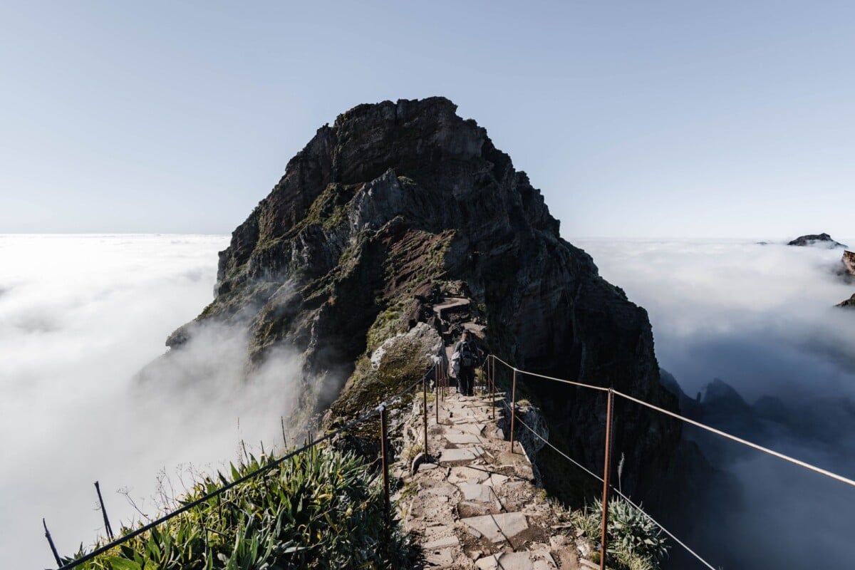
Pack for sun, wind and a shower on the same day. The east coast can feel hot during the climb, while the ridge may be cool enough to need an extra layer. A small daypack is more practical than hauling bulky gear you will not use.
- At least 1.5 litres of water per person, with more in warm weather
- Lunch and high-energy snacks
- Grippy hiking shoes or trail shoes
- Light waterproof jacket and a warm layer
- Sun cream, sunglasses and a hat
- Offline map, charged phone and power bank
- Basic blister supplies and any personal medication
 Prime
Prime
We earn a commission if you buy through this link, at no extra cost to you.
A light waterproof layer is useful even when rain is not forecast, as wind and low cloud can make a stop on the ridge unexpectedly cold. Pack it where you can reach it without emptying the whole bag onto a muddy track.

We earn a commission if you buy through this link, at no extra cost to you.
Trekking poles can help on the Machico climb and the descent into Porto da Cruz, though they need careful use on narrow stretches. Keep both hands free where balance matters more than propulsion.
When To Walk Vereda Do Larano
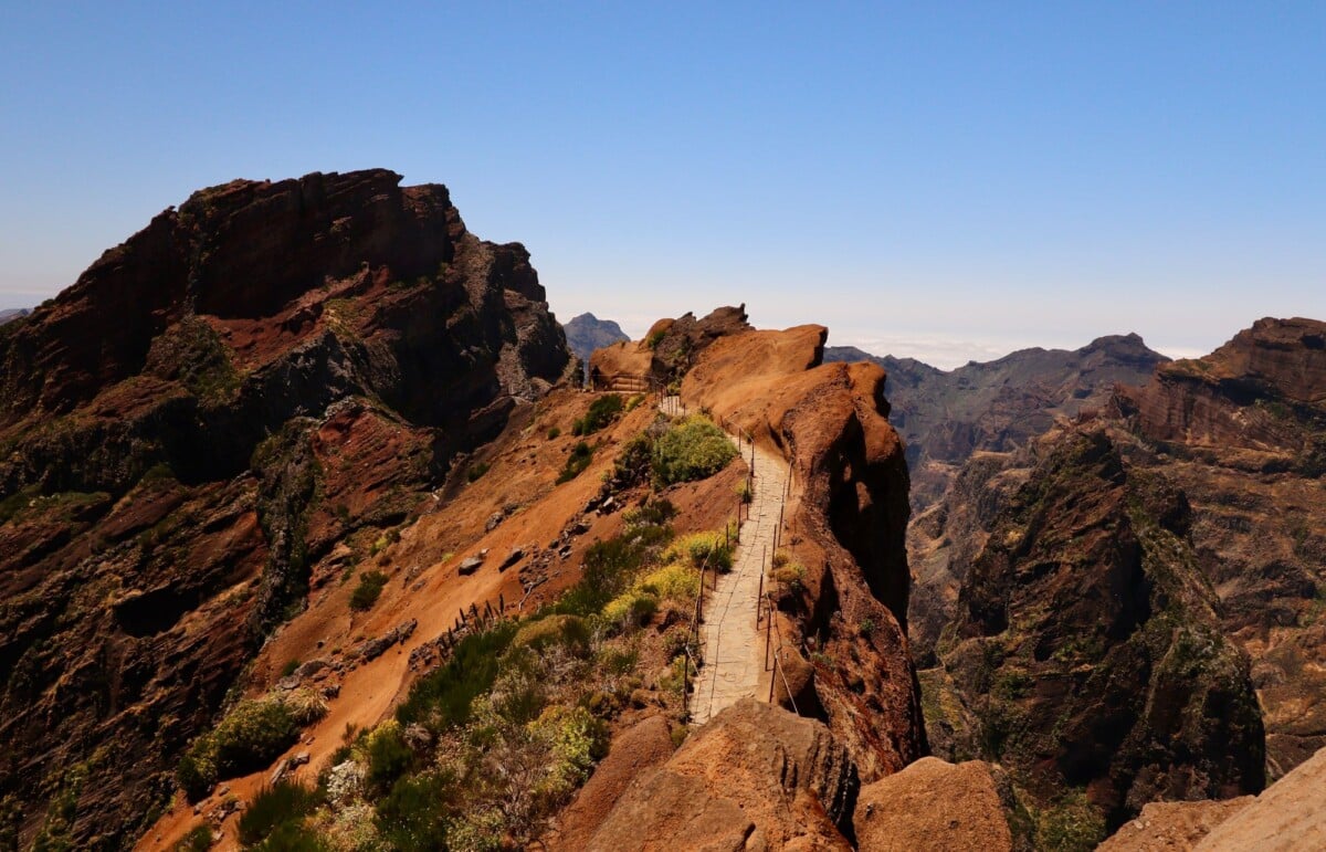
Spring and autumn usually offer the most comfortable balance of temperatures and daylight for the Vereda do Larano route. Summer can be hot on the unshaded climb out of Machico, so an early start is sensible. Winter can bring greener slopes, but also more rain, cloud and disruption after storms.
Morning starts give you more time to adjust if the weather turns, transport runs late or the route takes longer than expected. They also leave a useful buffer for the final descent, which is not the place to discover daylight fades sooner than your phone battery.
Timing, parking and heat management make a noticeable difference on exposed hikes, so leave yourself some slack rather than planning the day around the final bus.
Who Should Walk the Vereda Do Larano Route?
This route suits walkers with reasonable fitness who can manage several hours on uneven ground and stay calm around height exposure. You do not need climbing equipment, but you do need sound judgement and a willingness to change plans when conditions are poor.
Choose another Madeira walk if you have a strong fear of heights, are recovering from an injury, have young children who cannot stay close on narrow paths, or are hiking in high wind or heavy rain. The route should feel enjoyable, not like a lengthy negotiation with your nerves.
Frequently Asked Questions
How Long Is the Vereda Do Larano Route?
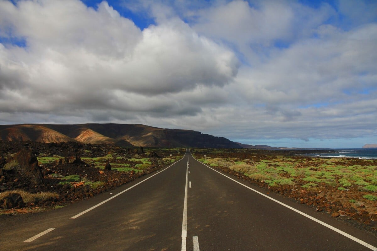
The full Machico to Porto da Cruz version is commonly planned as about 12 km. Starting at Boca do Risco shortens the day, although the exposed coastal terrain remains.
How Long Does the Vereda Do Larano Hike Take?
Allow 4 to 5 hours of walking for the full route, plus time for breaks and transport. Slippery ground, photo stops and cautious progress on cliff paths can extend that estimate.
Is Vereda Do Larano Safe?
Vereda do Larano can be safe for prepared walkers in dry, calm conditions, but it has narrow, exposed sections above steep slopes. Do not walk it in strong wind, after major rainfall or when official notices advise against access.
Can You Walk Vereda Do Larano Without a Car?
Yes, you can use buses and taxis to reach Machico and leave Porto da Cruz, but check bus schedules before hiking. A taxi backup is wise because this linear route offers limited flexibility late in the day.
Do You Need To Pay To Walk Vereda Do Larano?
Rules and fees for Madeira walking routes can change, and the Larano route includes local paths that may be managed differently from designated recommended walks. Check the official conservation authority information before your hike for the current position.