
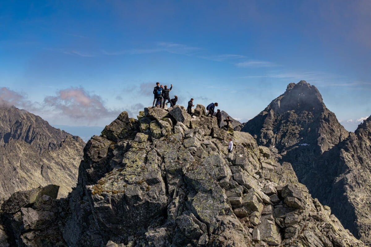
The Rysy hike from Slovakia is a demanding summer mountain route to the 2,501-metre summit on the Polish border. Most people approach it via Štrbské Pleso, Popradské Pleso and Chata pod Rysmi. Allow a full day, expect steep rocky ground and chains near the top, and plan around the High Tatras’ annual winter trail closure.
Fit, prepared walkers can manage Rysy in stable conditions, but this is not a casual wander between lakes. The final ascent is exposed to rapidly changing weather, and snow can linger well into the official summer walking season. Start early, take proper mountain kit and be ready to turn back if the forecast or trail conditions worsen.
Rysy Hike From Slovakia: Route at a Glance
| Route Section | Key Detail | Best For |
|---|---|---|
| Štrbské Pleso to Popradské Pleso | Forest and valley approach on marked trails | Walkers staying or arriving by train at Štrbské Pleso |
| Popradské Pleso to Chata pod Rysmi | Steepening mountain trail with a sustained ascent | Strong hikers planning the standard Slovak route |
| Chata pod Rysmi to Rysy summit | Rocky and secured sections with mountain exposure | Confident hikers in dry, settled conditions |
Typical planning allowance: Allow roughly 7 to 9 hours for the return walk from Štrbské Pleso, including breaks. Route-tracking apps can give slightly different figures, but around 20 kilometres return and more than 1,200 metres of ascent is a realistic expectation.
The route follows Slovak Tourist Club waymarks, marked by coloured trail blazes. Follow the signs, but carry an offline map too. Mist, rain and crowds can all make route-finding slower on the upper mountain.
When Is the Rysy Trail Open?
The High Tatras have a seasonal closure on many high-altitude marked trails from 1 November through 15 June. The route above Chata pod Rysmi is included, so plan Rysy as a summer or early-autumn hike.
An opening date does not mean summer conditions have arrived. Early-season snow, ice and avalanche debris may remain at higher elevations, while autumn means shorter daylight and cold mornings. Check the latest trail status with Tatra National Park and look at the weather forecast immediately before leaving your accommodation.
July to September usually brings the longest daylight and the best chance of snow-free ground, although thunderstorms are common in the Tatras. An early start gives you more time to descend before the afternoon becomes unsettled. Mountains have a habit of ignoring an otherwise tidy itinerary.
How To Reach the Rysy Trailhead at Štrbské Pleso
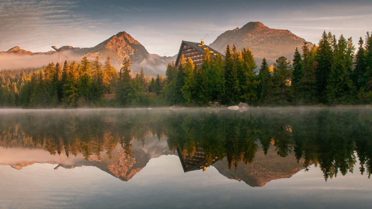
Štrbské Pleso is the most practical Slovak base for the Rysy hike. At the end of the Tatra Electric Railway line, it has accommodation, food shops, restaurants and the useful mountain infrastructure you want before an early start.
Most independent travellers reach Štrbské Pleso by train via Poprad-Tatry. Connections and local services vary by day and season, so check timetables with ZSSK, Slovakia’s national rail operator before committing to a same-day hike. The first useful train can still mean a later start than this route really deserves.
Drivers can use designated parking around Štrbské Pleso, though spaces are limited during busy summer periods. Do not leave your car on access roads or informal verges. A car helps you reach the High Tatras, but it does not spare you the early alarm.
The Standard Rysy Route From Štrbské Pleso
The standard Slovak route starts at Štrbské Pleso, heads south-east towards Popradské Pleso, then climbs into the Mengusovská Valley. It is an established, marked route, but the difficulty increases sharply once you are above the forest.
Štrbské Pleso to Popradské Pleso
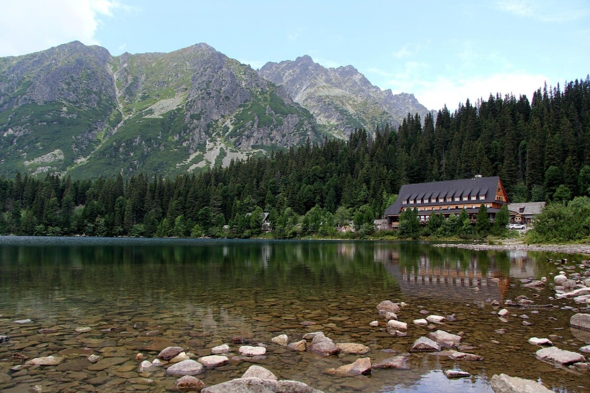
The first section runs through woodland and open valley scenery towards Popradské Pleso, a mountain lake below the main ridge. This is the gentlest part of the day, but it still takes time and energy. Keep a comfortable pace, eat early and do not turn the approach into a warm-up race.
Popradské Pleso is a sensible place to check that everyone in your group is moving well and that the forecast still looks workable. Toilets and hospitality services may be available around the lake in the main season, but opening arrangements can change.
Popradské Pleso to Chata pod Rysmi
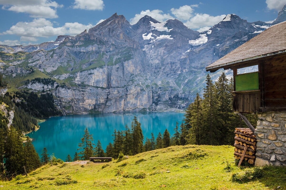
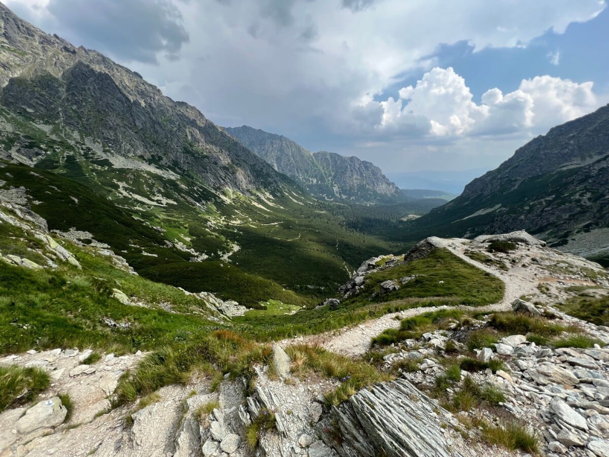
Beyond the lake, the marked path climbs through the Mengusovská Valley towards the upper mountain. The gradient becomes steadily more sustained, with rocky surfaces and a more exposed feel as you gain height.
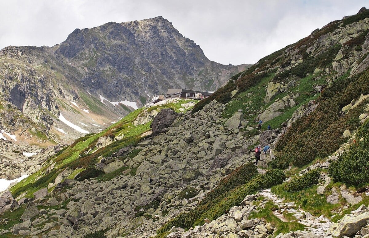
Chata pod Rysmi sits at approximately 2,250 metres and is one of Slovakia’s highest mountain huts. It is a sensible stop for food, water and another weather check, but poor visibility or threatening storms are not a reason to press on.
If you want to stay overnight, check the Chata pod Rysmi booking information before travelling. Space is limited, while seasonal access, weather and supply arrangements can affect hut operations. Confirm bedding, payment and food arrangements when you book.
Chata pod Rysmi to the Summit
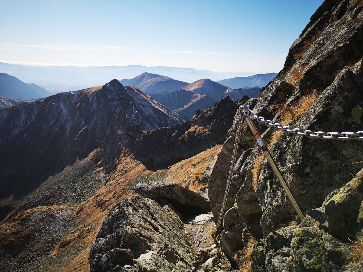
The final stage climbs steeply over rock, with fixed chains in places. They help on awkward terrain, but they do not make a wet, icy or stormy ascent a good idea. Keep three points of contact where needed, let faster parties pass at safe wider spots, and avoid pulling on or crowding others at the chains.
Rysy’s summit sits on the Slovakia-Poland border. In clear weather, views can stretch across the High Tatras, though cloud can roll in quickly. Carry a passport or valid ID near an international border, and do not descend into Poland without checking Polish trail rules, transport and park access in advance.
Rysy Route Options and Turnaround Plans
The standard out-and-back from Štrbské Pleso is the simplest option for most hikers because it starts and finishes at the same transport hub. You can begin closer to Popradské Pleso, but reaching it still needs planning and may leave fewer transport choices after the hike.
- Full out-and-back from Štrbské Pleso: the most straightforward route for independent hikers using trains, buses or local accommodation.
- Hut overnight at Chata pod Rysmi: splits the ascent over two days, but needs a confirmed reservation and safe mountain conditions.
- Turnaround at Popradské Pleso or Chata pod Rysmi: a practical fallback if cloud builds, legs are not holding up or the upper route is wet.
- Polish-side routes: these have separate access, national park rules and logistics, so treat them as a different trip rather than an improvised extension.
Set a firm turnaround time before you leave. If you have not reached a safe point by then, head down. The summit is not going anywhere. Your last train and your knees may be less forgiving.
What To Pack for Rysy
Rysy is a high-mountain hike, and conditions can change considerably between Štrbské Pleso and the summit. Pack for cold wind and rain even if the village forecast looks cheerful.
- Sturdy hiking boots with dependable grip for wet rock and loose stone.
- A waterproof jacket and a warm insulating layer.
- Food for a full day, plus extra snacks in case you move more slowly than planned.
- At least 1.5 to 2 litres of water, adjusted for heat and planned refill stops.
- Offline mapping, a charged phone and a power bank.
- Hat, gloves, sun protection and sunglasses.
- A small first-aid kit, emergency blanket and headtorch.
- Cash and a payment card, as mountain services can have limited payment options.
Cascade Mountain Tech
WALKING_STICK
We earn a commission if you buy through this link, at no extra cost to you.
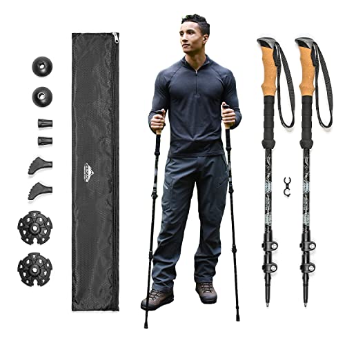
Trekking poles can make the long descent easier, particularly below the hut, but stow them before chain-assisted sections so both hands are free. For another practical guide to exposed ridges and changeable mountain weather, see our advice on planning the Saddle hike in Kintail via the Forcan Ridge.
Rysy Safety Rules and Weather Checks
The Rysy hike suits experienced, fit walkers who are comfortable with long ascents and rocky mountain ground. It is a poor choice if you are uneasy with heights, have no experience of fixed chains or are trying to squeeze a major summit into a short weather window.
Before setting off, check the forecast, trail-condition notices and Slovak Mountain Rescue Service updates. Conditions can differ sharply by elevation: Rysy was 53F with overcast skies and 59% humidity, while Chata recorded light rain, 77F and 85% humidity (as of October 2026). Mountain rescue advice and warnings take priority over a plan made weeks earlier. If lightning is forecast, choose a lower-level walk or postpone the hike.
- Start early enough to complete the descent in daylight.
- Tell someone your intended route and expected return time.
- Stay on marked trails to protect fragile alpine ground and avoid hazardous terrain.
- Turn around if there is thunder, strong wind, poor visibility, ice or persistent heavy rain.
- Do not rely on mobile signal as your only navigation or safety plan.
- Keep a safe distance from wildlife and carry all rubbish back to the valley.
In an emergency, call 112, the Europe-wide emergency number, or contact the Slovak Mountain Rescue Service. Downloading the official rescue app before hiking can also help emergency teams locate you, provided you have a working phone connection.
Where To Stay Before Hiking Rysy
Stay in Štrbské Pleso for the easiest early start and direct trail access. It works well for hikers who want to leave from their accommodation and return without driving after a long day.
Poprad is useful for travellers arriving by rail or flying into Poprad-Tatry Airport, but it adds a morning transfer. Tatranská Štrba can be a practical lower-cost base with railway connections, although it has less immediate access to the trailhead.
Book accommodation early for summer weekends and school holidays. The High Tatras are busy in fair weather, and a late booking can turn an organised hiking day into a transport puzzle with a mountain attached.
Common Questions About the Rysy Hike From Slovakia
How Difficult Is the Rysy Hike From Slovakia?
Rysy is a strenuous full-day hike with more than 1,200 metres of ascent, rocky terrain and chain-assisted sections near the summit. It is best for fit walkers with mountain experience and stable weather conditions.
How Long Does the Rysy Hike Take?
Most hikers should allow around 7 to 9 hours for the return hike from Štrbské Pleso, including rests. Your time depends on fitness, weather, queues on the upper route and how long you stop at Chata pod Rysmi.
Can You Hike Rysy in Winter?
The main high-altitude route is subject to the High Tatras seasonal closure from 1 November through 15 June. Winter mountain travel here needs specialist skills, equipment and current avalanche knowledge, and should not be treated as a standard walking route.
Do You Need To Book Chata pod Rysmi?
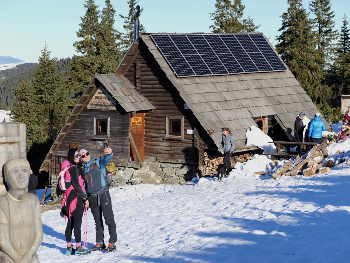
Book ahead if you intend to sleep at Chata pod Rysmi, as capacity is limited. Check the hut’s official booking information for current dates, rules and services before making travel plans.
Are Trekking Poles Useful on Rysy?
Trekking poles are useful on the approach and descent, where they can reduce strain on knees over uneven ground. Store them securely before chain-assisted sections, as you need both hands free on exposed rock.