
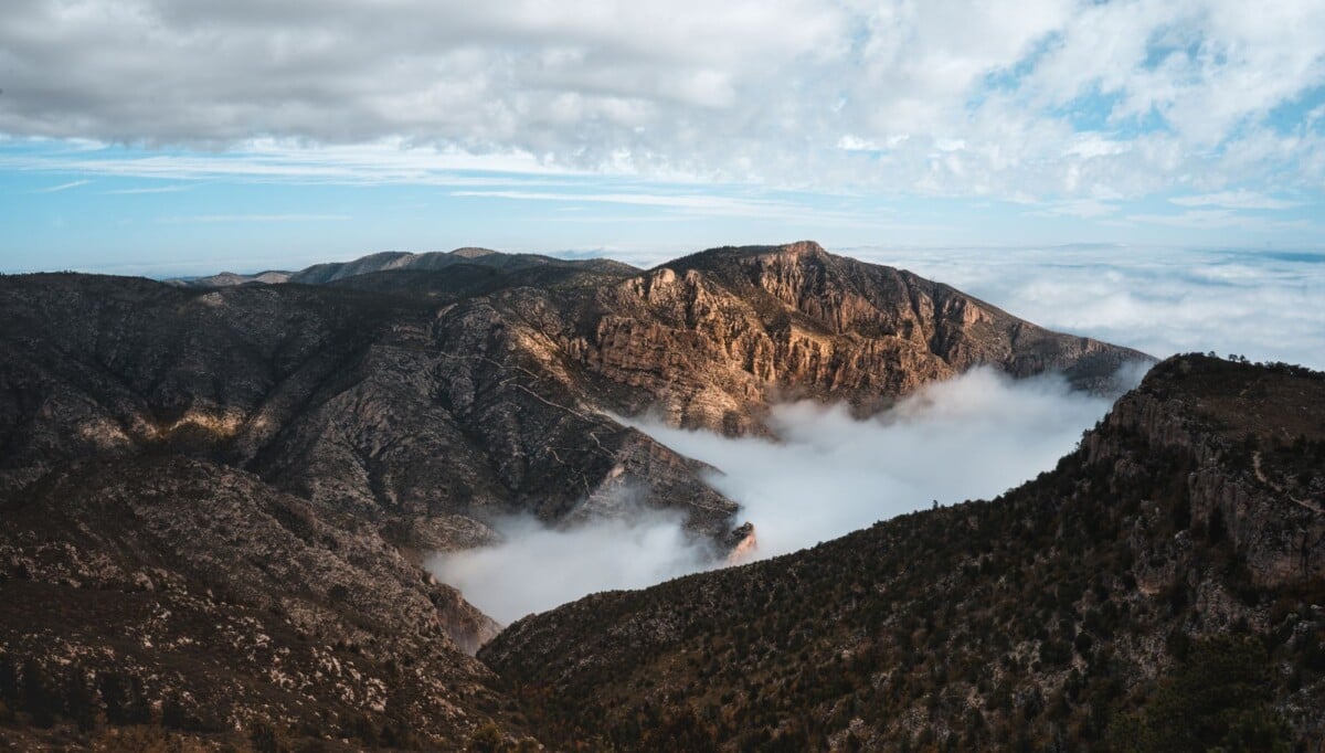
Guadalupe Mountains National Park offers short fossil-reef walks, canyon hikes and demanding summit days, but Guadalupe Peak and McKittrick Canyon require far more time and fitness than the park’s easier sights. On a first visit, pair a short trail near Pine Springs with El Capitan Viewpoint or Frijole Ranch. Save Guadalupe Peak for a clear day, an early start and plenty of water.
This comparison covers the main Guadalupe Mountains trails and sights by access, distance, elevation gain and realistic time on foot. Distances and difficulty can change with closures, storm damage and route work, so check the National Park Service’s current Guadalupe Mountains trail information before you set out. If you are comparing routes at other US parks too, our Congaree National Park trail guide uses the same practical approach to distances, surfaces and access.
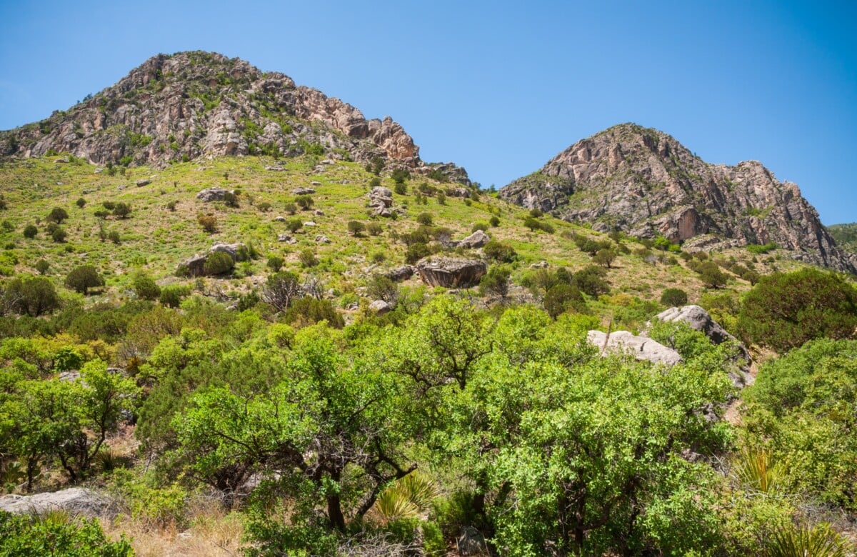
Guadalupe Mountains Trails Compared at a Glance
| Trail or Sight | Distance | Elevation Gain | Allow | Best For |
|---|---|---|---|---|
| Guadalupe Peak Trail | 8.4 miles return | About 3,000 feet | 6 to 8 hours | Experienced hikers seeking the Texas high point |
| Devil’s Hall Trail | 4.2 miles return | About 550 feet | 3 to 5 hours | A rugged canyon route with a memorable finish |
| Smith Spring Loop | 2.3-mile loop | About 500 feet | 1.5 to 2.5 hours | A manageable hike to a spring and woodland |
| McKittrick Canyon to Pratt Cabin | 4.8 miles return | About 400 feet | 2.5 to 4 hours | Historic cabin and canyon scenery |
| McKittrick Canyon to the Grotto | 6.8 miles return | About 700 feet | 4 to 6 hours | A longer canyon day without a summit push |
| Pinery Trail | 0.9 miles return | Minimal | 30 to 45 minutes | Fossils, the Butterfield Overland Mail Route and a short stop |
| Manzanita Spring Trail | 0.7 miles return | Minimal | 30 to 45 minutes | A quick walk near Frijole Ranch |
| Salt Basin Dunes Trail | 3.4 miles return | Minimal | 1.5 to 3 hours | White dunes and a quieter side of the park |
Figures are approximate round-trip distances and elevation gains. Time estimates allow for a steady pace, breaks, photos and the rough ground common in the park. Loose rock, heat and wind can make even a modest-looking distance take longer than expected.
Which Guadalupe Mountains Trail Should You Choose?
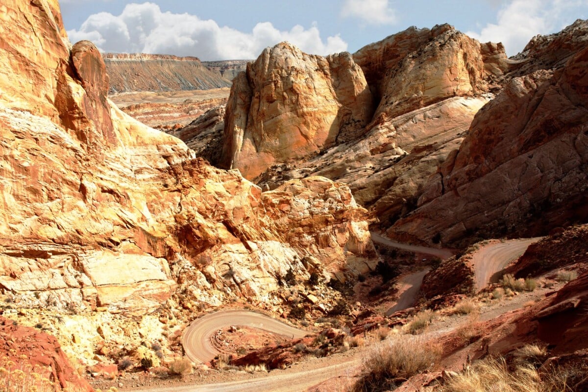
Choose Guadalupe Peak if reaching Texas’s highest point is the main purpose of your visit and you are comfortable with sustained climbing. Pick Devil’s Hall for a shorter but rougher outing, or Smith Spring for the most balanced half-day hike near Pine Springs.
- Best summit hike: Guadalupe Peak Trail
- Best rugged canyon hike: Devil’s Hall Trail
- Best moderate option: Smith Spring Loop
- Best for history and autumn colour: McKittrick Canyon
- Best short trail: Pinery Trail
- Best scenic drive stop: El Capitan Viewpoint
- Best for a quieter dunes walk: Salt Basin Dunes
The park is remote in far West Texas, around 110 miles east of El Paso. Pine Springs is the main developed area and the practical base for Guadalupe Peak, Devil’s Hall, Pinery Trail, Frijole Ranch and the visitor centre. McKittrick Canyon and Salt Basin Dunes are farther away, so each works better as its own half-day or full-day plan.
Guadalupe Peak Trail: Best for the Texas High Point
Guadalupe Peak Trail is an 8.4-mile return hike that climbs about 3,000 feet to the 8,751-foot summit of Guadalupe Peak. It is the park’s signature challenge and takes most hikers six to eight hours, particularly when wind, altitude and rocky footing slow the pace.
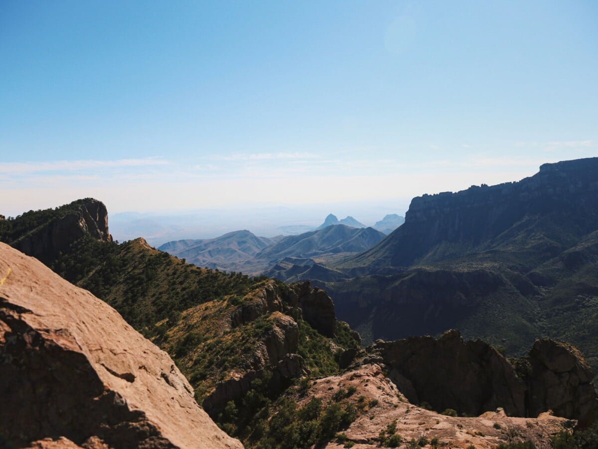
The trail starts at Pine Springs Trailhead and climbs straight away through steep, exposed switchbacks. Higher up, the route passes through pinyon-juniper woodland before reaching the summit marker. Views extend across the Chihuahuan Desert and towards El Capitan, although clouds and high winds can put paid to the postcard version of the day.
Who Guadalupe Peak Suits
- Fit hikers who have completed a long, steep day hike before.
- Road-trippers with a full day at Pine Springs.
- Anyone whose main goal is standing on the highest point in Texas.
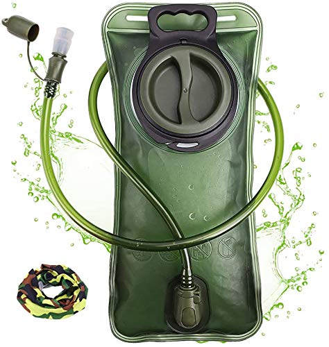
Do not treat Guadalupe Peak as a quick morning activity. The trail is exposed, weather changes quickly and there is no reliable water on the route. The National Park Service advises hikers to carry at least one gallon, or four litres, of water per person per day in hot conditions and to check conditions before leaving the trailhead.
We earn a commission if you buy through this link, at no extra cost to you.
Devil’s Hall Trail: Best for a Rugged Canyon Walk
Devil’s Hall Trail covers 4.2 miles return from Pine Springs and gains roughly 550 feet. The first section follows a wash, then the route becomes slower and more physical as hikers scramble over boulders and pass through the narrow limestone corridor known as Devil’s Hall.
The distance is moderate; the ground is the challenge. There is no technical climbing, but uneven rocks call for balance, sturdy footwear and patience. It is not a good fit if you dislike boulder hopping or need a smooth, predictable surface.
Allow three to five hours, especially after rain, when washes can be muddy or hold water. Carry more water than the distance suggests and wear shoes with proper grip. For another US park comparison based on practical measures, see our Bryce Canyon hikes compared by difficulty, distance, elevation gain and time.
Smith Spring Loop: Best Moderate Hike Near Pine Springs
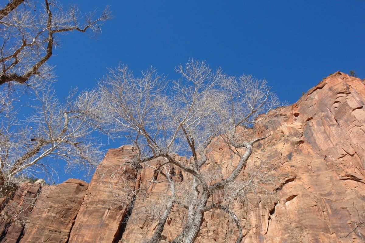
Smith Spring Loop is a 2.3-mile circuit with about 500 feet of climbing, usually taking one and a half to two and a half hours. The trail begins near Frijole Ranch and climbs through desert vegetation before dropping to Smith Spring, where cottonwoods and water provide a marked contrast with the exposed slopes nearby.
It is a sensible middle ground if you want more than a roadside stop but do not have the legs, time or inclination for Guadalupe Peak. The uphill section still deserves respect in the heat, and the spring is not a drinking-water source.
McKittrick Canyon Trails: Best for History and Seasonal Colour
McKittrick Canyon offers the park’s most varied walking, combining desert scenery, a seasonal stream, historic structures and taller vegetation. It is particularly popular in autumn, when changing leaves bring larger day-use crowds and parking can fill early.
Pratt Cabin
The walk to Pratt Cabin is about 4.8 miles return, with a relatively gentle gain of around 400 feet. Most of the route follows the canyon floor, making it more forgiving than the mountain trails, though it is still an out-and-back desert hike with no services once you leave the trailhead.
Pratt Cabin is a stone cabin associated with Wallace Pratt, a geologist who donated land that became part of the national park. It is the sensible turnaround point for walkers who want a substantial hike without committing to the longer Grotto route.
The Grotto and Permian Reef Trail
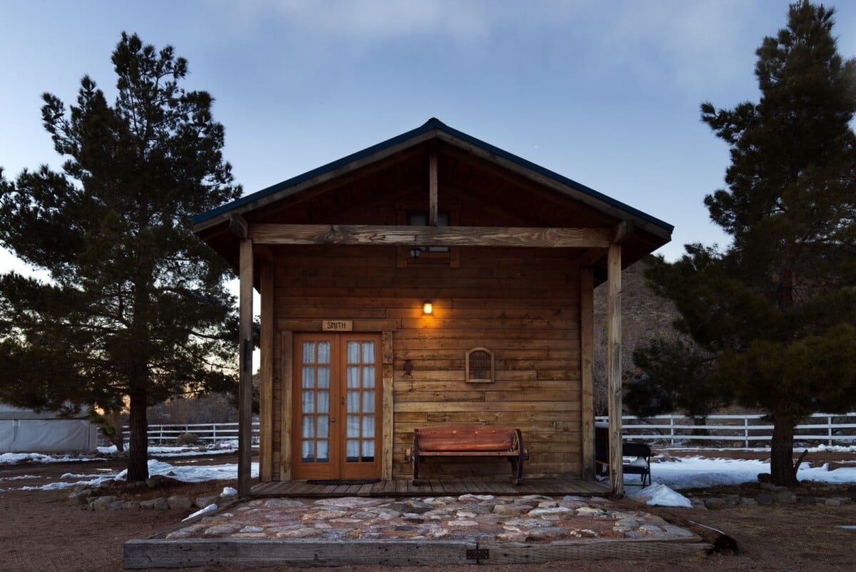
The Grotto route continues beyond Pratt Cabin for a 6.8-mile return hike with about 700 feet of gain. It takes four to six hours and offers a quieter canyon experience. The Permian Reef Trail is longer and steeper, climbing out of the canyon for broad views and a much tougher day.
McKittrick Canyon has restricted day-use hours and a gate that closes, so check the park’s current opening times before driving there. A late arrival can leave too little time for the hike even when the weather is perfect. Nature has a timetable here, and it does not negotiate.
Short Guadalupe Mountains Trails and Easy Sights
Pinery Trail
Pinery Trail is a short, mostly level 0.9-mile return walk from the visitor centre area. It passes the remains of Pinery Station on the Butterfield Overland Mail Route and includes interpretation of the fossil reef that formed these mountains more than 250 million years ago.
This is the best first stop for families, anyone arriving late in the day and road-trippers wanting context before choosing a longer hike. It is short, but it explains why the landscape looks so different from the flat desert around it. Readers who enjoy walking routes with historic context can also browse these U.S. historic trails.
Manzanita Spring and Frijole Ranch
Manzanita Spring Trail is roughly 0.7 miles return and leads to a small spring near Frijole Ranch. Combine it with the historic ranch buildings for an easy visit of around an hour, or longer if you add Smith Spring Loop.
Frijole Ranch gives useful context on life in this dry landscape, including ranching and the people who lived here before the park was established. Check visitor-centre information for building access, as opening arrangements can vary.
El Capitan Viewpoint
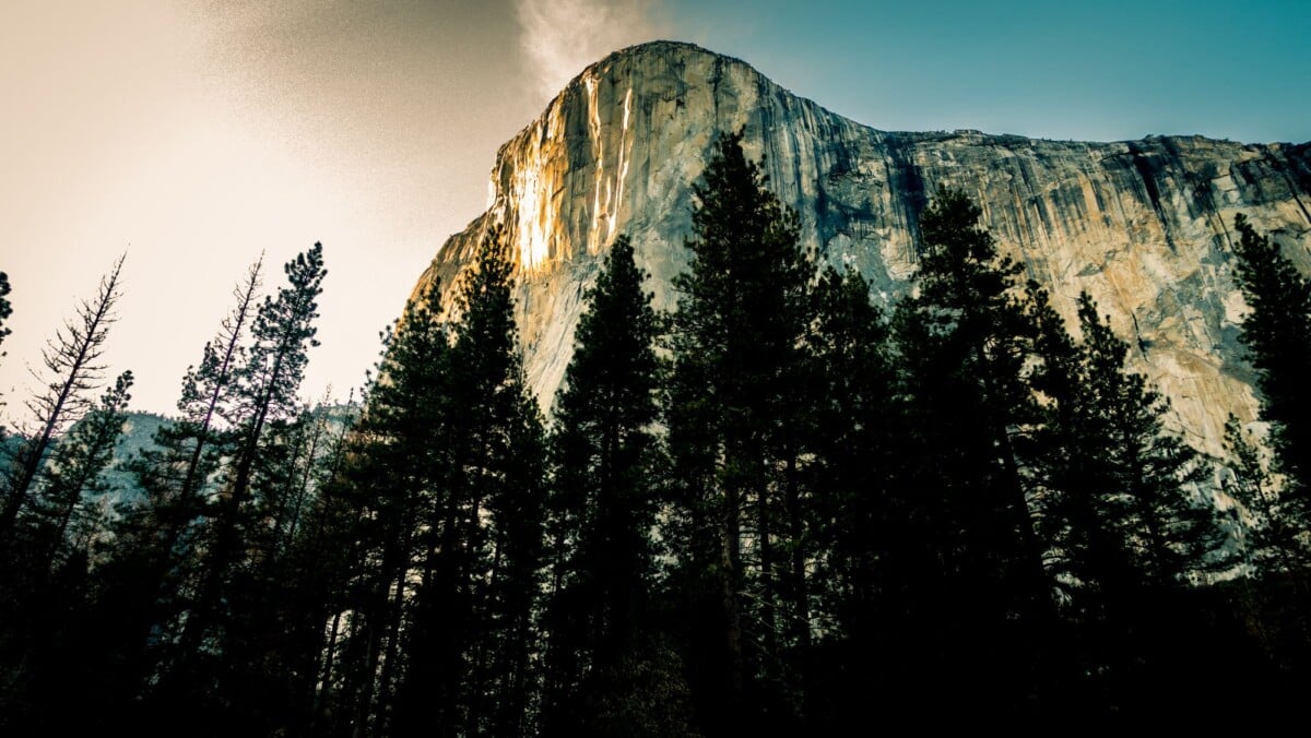
El Capitan Viewpoint is a roadside stop on U.S. Highway 62/180 and needs little more than a few minutes. It gives the clearest classic view of El Capitan, the sharply defined limestone peak that dominates the park’s southern approach.
Use it as a quick sight on arrival or a sunset stop after a Pine Springs hike. It is not a replacement for Guadalupe Peak Trail, but it gives non-hikers a proper sense of the range without six hours of switchbacks.
Salt Basin Dunes
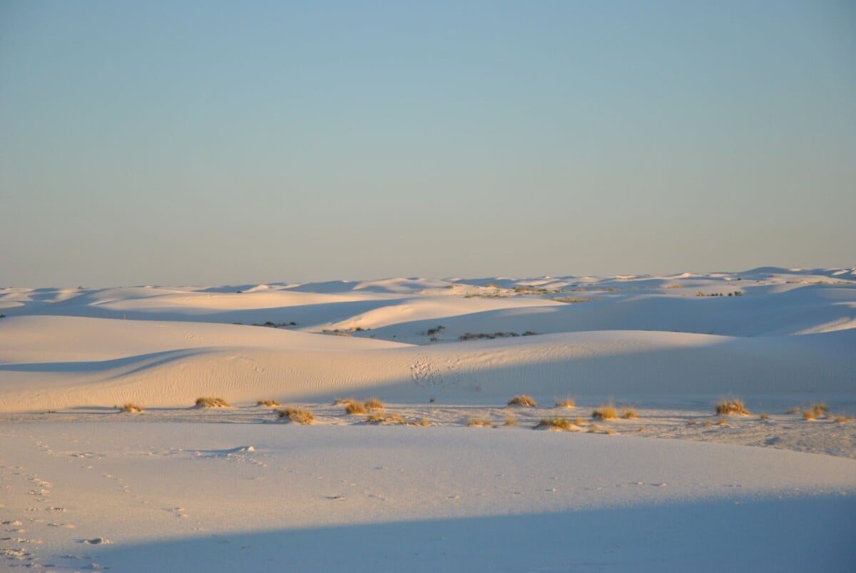
Salt Basin Dunes lies on the park’s western side and offers a 3.4-mile return walk across gypsum dunes. There is little elevation gain, but sand, sun and the drive to the trailhead can make it more demanding than the numbers suggest.
Road conditions to Salt Basin can be rough and may require a high-clearance vehicle. Ask park staff about current access before committing, carry water and do not rely on mobile reception. The dunes are a good choice if you have already seen Pine Springs and want a different landscape.
Guadalupe Mountains Sights Compared Without a Long Hike
| Sight | Access | Time Needed | Choose It For |
|---|---|---|---|
| El Capitan Viewpoint | Roadside on U.S. 62/180 | 10 to 30 minutes | The park’s most recognisable mountain view |
| Frijole Ranch | Short drive from Pine Springs | 30 to 60 minutes | Park history and nearby short walks |
| Pinery Station | Short trail from visitor-centre area | 30 to 45 minutes | Fossils and Butterfield Overland Mail history |
| McKittrick Canyon Entrance | Separate trailhead north of Pine Springs | Half day or more | Canyon scenery, cabins and autumn colour |
| Salt Basin Dunes | Remote west-side access | Half day | Gypsum dunes and wide-open desert |
How To Plan a Safe Guadalupe Mountains Hiking Day
Guadalupe Mountains National Park is isolated, dry and exposed. A short hike can become serious when strong wind, summer heat or a navigation mistake enters the mix, so treat preparation as part of the itinerary.
- Check trail and weather conditions. The park can close trails or roads after storms, and high winds are common on exposed ridges.
- Pay the entry fee or show a valid pass. Confirm the current cost and payment options on the National Park Service’s Guadalupe Mountains entrance-fee page.
- Fill water bottles before arriving at the trailhead. Do not assume natural springs provide safe drinking water.
- Start summit and canyon hikes early. Afternoon heat and thunderstorms reduce both comfort and safety.
- Carry a paper map or downloaded offline map. Mobile signal is unreliable in much of the park.
- Tell somebody your route and expected return time, particularly for Guadalupe Peak, McKittrick Canyon and Salt Basin Dunes.

We earn a commission if you buy through this link, at no extra cost to you.
Dogs are not allowed on park trails, and pets face major heat risks in vehicles and exposed areas. Review the National Park Service’s pet rules for Guadalupe Mountains National Park before travelling with one.
Where To Stay Near Guadalupe Mountains National Park
Pine Springs Campground is the most convenient base for early starts on Guadalupe Peak and Devil’s Hall, but sites and facilities are limited. Carlsbad, New Mexico, has more lodging and services, while White’s City can suit travellers also visiting Carlsbad Caverns National Park. Expect a meaningful drive whichever town you choose, so fuel up before heading into the park.
Guadalupe Mountains fits well into a longer desert route with Carlsbad Caverns, White Sands and southern New Mexico. For a wider trip framework, our ten-day American Southwest hiking road trip itinerary helps with the pacing problem that catches out many road-trippers: trying to hike a mountain, drive several hours and still reach accommodation before dark.
What To Pack for Guadalupe Mountains Trails
- At least three to four litres of water per person for longer hikes, with extra in hot weather.
- Trail shoes or boots with grip for Devil’s Hall and steep, loose sections of Guadalupe Peak.
- Sun hat, sunscreen and sunglasses, as shade is limited on many routes.
- A windproof layer for Guadalupe Peak, even on warm desert days.
- Food, electrolyte tablets and a basic first-aid kit for hikes beyond an hour.
- Offline maps, a charged phone and a torch or headlamp in case a route takes longer than planned.

We earn a commission if you buy through this link, at no extra cost to you.
Frequently Asked Questions
What Is the Best Hike in Guadalupe Mountains National Park?
Guadalupe Peak is the best choice for fit hikers who want the park’s defining challenge and the highest point in Texas. Smith Spring Loop is the more practical option for a shorter hike with varied scenery, while Devil’s Hall suits hikers who enjoy rougher canyon terrain.
How Hard Is the Guadalupe Peak Trail?
Guadalupe Peak Trail is strenuous because it climbs about 3,000 feet over 8.4 miles return, with steep, exposed and rocky sections. Most hikers should allow six to eight hours and carry ample water, food and wind protection.
Can You See Guadalupe Mountains National Park Without Hiking?
Yes. El Capitan Viewpoint, the visitor-centre area, Frijole Ranch and the short Pinery Trail give you good views, history and geology with very little walking. The park’s bigger canyon and summit scenery requires more time on foot.
Is McKittrick Canyon Worth Visiting?
McKittrick Canyon is worth the drive for hikers interested in a gentler canyon walk, Pratt Cabin and seasonal foliage. Check day-use hours before travelling because the trailhead gate closes and the canyon cannot be treated as an open-ended evening walk.
When Is the Best Time To Hike Guadalupe Mountains?
Spring and autumn generally offer the most comfortable daytime hiking temperatures, though wind remains common. Summer heat can be severe, while winter brings cold, ice and occasional snow at higher elevations. Check official park conditions shortly before your trip.