
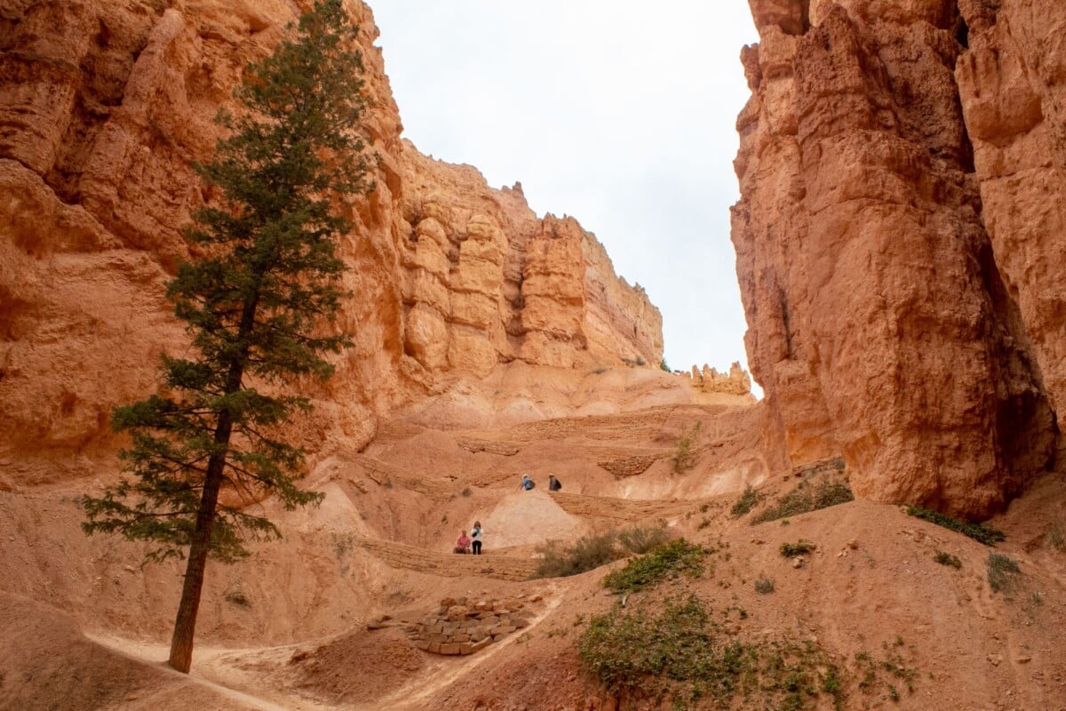
This ten-day American Southwest hiking road trip itinerary covers Zion, Bryce Canyon, Page, the Grand Canyon’s South Rim and Sedona in a practical loop from Las Vegas. It gives you time for several proper hikes, two recovery-friendly travel days and overnight bases that keep the driving manageable.
The route covers roughly 850 to 950 miles, depending on viewpoints, trailheads and accommodation. Spring and autumn are the easiest seasons for this plan: Zion and Sedona can be very hot in summer, while Bryce Canyon and the Grand Canyon sit at high elevations and can have snow, ice and road restrictions in winter.
Use this alongside our road trip tips and pack more water than you think you will need. Desert trailheads have a way of making a spare bottle feel like a very sensible investment.
Route Overview: Las Vegas to Zion, Bryce, Page, Grand Canyon and Sedona
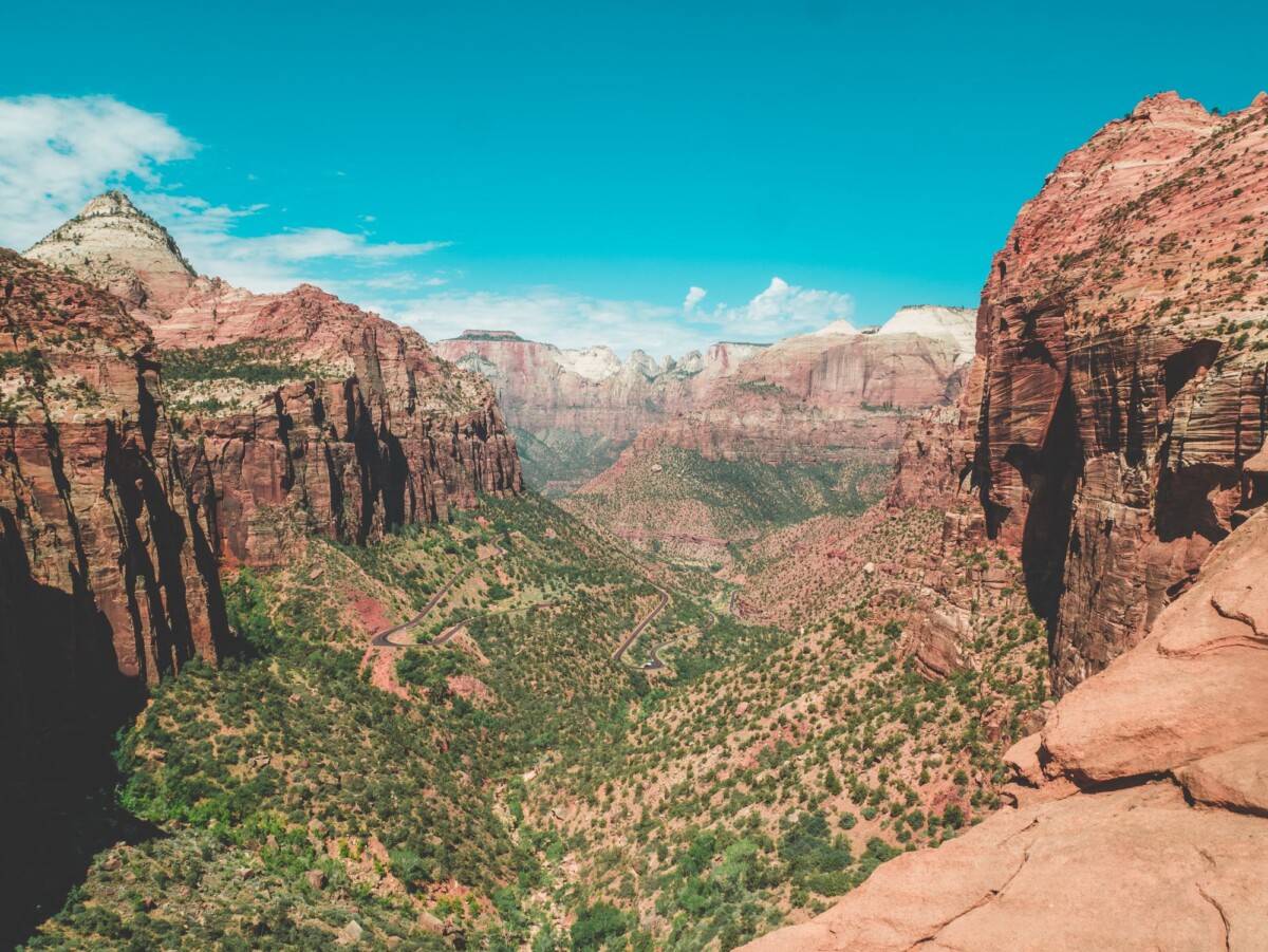
Fly into and out of Las Vegas, hire a car there and drive anticlockwise through southern Utah and northern Arizona. Las Vegas usually has the widest choice of flights and rental cars, while finishing in Sedona gives the trip a gentler final stretch before the drive back.
| Day | Route and Base | Main Hiking Plan |
|---|---|---|
| 1 | Las Vegas to Springdale, Zion | Arrival walk or Canyon Overlook Trail |
| 2 | Zion National Park | Angels Landing or the Narrows |
| 3 | Zion National Park | Emerald Pools, Watchman Trail or Observation Point area |
| 4 | Springdale to Bryce Canyon | Navajo Loop and Queen’s Garden |
| 5 | Bryce Canyon to Page | Morning hike, then Horseshoe Bend at sunset |
| 6 | Page to Grand Canyon South Rim | Desert View stops and South Rim Trail |
| 7 | Grand Canyon South Rim | South Kaibab or Bright Angel day hike |
| 8 | Grand Canyon to Sedona | Late-afternoon Sedona hike |
| 9 | Sedona | Cathedral Rock, Devil’s Bridge or West Fork |
| 10 | Sedona to Las Vegas | Return drive and departure |
The stated drive times below are sensible planning estimates in normal conditions. Add time for fuel, groceries, viewpoint stops and traffic around popular park entrances. Check the Zion National Park conditions page and park alerts for each stop shortly before setting off.
Before You Book: Permits, Park Fees and Car Hire
Most travellers will find an America the Beautiful annual pass worthwhile if they will enter three or more US national parks. The pass covers entrance fees for a private vehicle at participating federal recreation sites, but it does not cover camping, tours, timed-entry systems or special permits. Current pass details and prices are published by the National Park Service.
Angels Landing in Zion requires a permit for every hiker using the chained section beyond Scout Lookout. Apply through the NPS lottery system, and have a backup hike ready because permits are limited. The Narrows can close after rain or when flow levels are unsafe, so treat it as a weather-dependent plan rather than a guaranteed day out.
Day hiking below the Grand Canyon rim does not require a permit, but overnight backcountry trips do. Grand Canyon National Park also warns that hiking to the river and back in one day is dangerous for many visitors, particularly in warm weather. A rim-to-river route needs training, a very early start and a conservative turnaround time.
- Book accommodation early: Springdale, Grand Canyon Village and Sedona are especially busy in March to May and September to October.
- Choose a standard car for this route: the main roads and listed trailheads do not require four-wheel drive in normal conditions.
- Check rental terms: some contracts restrict travel on unpaved roads, which matters if you add remote Arizona or Utah detours.
- Download offline maps: mobile signal drops in canyons, on park roads and across long desert stretches.
For cooking simple breakfasts or trail lunches, this compact camp kitchen packing guide helps keep the boot organised without hauling a full campsite around.
Day 1: Las Vegas to Zion National Park
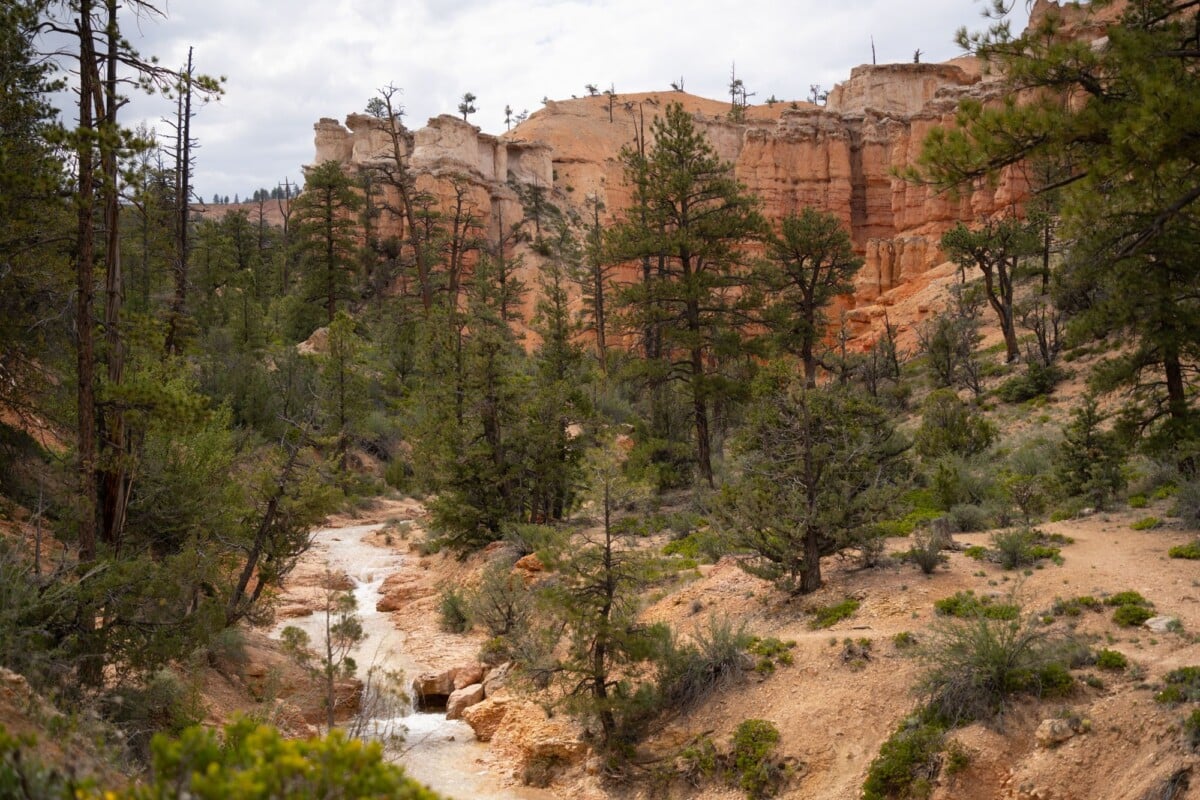
Drive from Las Vegas to Springdale, Utah, the small town immediately outside Zion’s south entrance. The journey is about 165 miles and 2.5 to 3 hours before stops. Collect food and water in Las Vegas or St George, as Springdale is convenient but generally pricier.
If you arrive with daylight left, walk the Canyon Overlook Trail. It is a short, steep route with exposed edges and a wide view over Zion Canyon. Park only in legal spaces near the trailhead, and do not plan on finding an empty spot late in the day during busy months.
Stay in Springdale for easy shuttle access, restaurants and a car-free park day tomorrow. Budget-minded hikers can look at nearby Hurricane or La Verkin, though the extra driving takes the edge off an early start.

National Park Foundation
National Park Foundation 18L Hydration Backpack with 2 Liter Hydro Water Bladder Bag, Lightweight…
We earn a commission if you buy through this link, at no extra cost to you.
Day 2: Hike Angels Landing or the Narrows in Zion
Choose one big Zion hike today. Angels Landing suits confident hikers who have secured a permit and are comfortable with steep drop-offs, chains and crowds. The climb begins on the West Rim Trail and reaches Scout Lookout before the permitted final ridge section.
The Narrows is the better choice for hikers who would rather spend the day walking through the Virgin River between canyon walls. It involves uneven riverbed footing, cold water in cooler months and changing conditions. Rent suitable footwear and a walking stick locally if needed, then check current flow and closure information at the visitor centre before entering the canyon.
If neither feels right, hike to Scout Lookout without continuing onto Angels Landing, or combine the Riverside Walk with the Lower Emerald Pools area. Zion runs a shuttle through the main canyon for much of the year, so leave the car in Springdale or at the visitor centre and allow for queues.
Day 3: A Flexible Second Day in Zion
Keep this day deliberately flexible. It covers weather, permit luck, tired legs and the fact that a ten-day hiking holiday should not require a rescue team by breakfast on day three.
For a moderate morning, walk the Watchman Trail near the visitor centre. For a longer outing, the West Rim Trail towards Cabin Spring gives a taste of Zion’s higher terrain without committing to an overnight traverse. The East Mesa Trail to Observation Point can offer wide canyon views, but access roads and trail conditions can change, so verify current directions with the park.
Spend a second night in Springdale. Use the evening to refill water, charge devices and prepare for Bryce Canyon, where temperatures can be notably cooler than Zion even on the same day.
Day 4: Drive From Zion to Bryce Canyon
Drive about 85 miles, or roughly two hours, from Springdale to Bryce Canyon National Park via US-89. The direct distance looks modest, but the road climbs substantially and a few photo stops can easily turn the transfer into half a day.
Start with the Navajo Loop and Queen’s Garden Trail, a popular route descending among Bryce’s hoodoos before returning to the rim. The classic circuit is usually around 3 miles, but the Wall Street section of Navajo Loop can close seasonally because of rockfall and winter conditions. Follow current signs and use the alternative Two Bridges section when needed.
Stay near Bryce Canyon City for the shortest drive, or in Tropic for a quieter small-town base on the park’s east side. Sunset Point and Sunrise Point are easy evening stops, though sunset parking fills early in peak season.
Day 5: Bryce Canyon to Page, Arizona
Take one final morning walk in Bryce Canyon, then drive to Page, Arizona. The route is approximately 150 miles and 2.5 to 3 hours via US-89. Page is a useful overnight base for Horseshoe Bend, Lake Powell and guided slot-canyon tours.
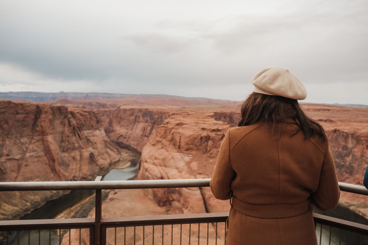
Hike the short trail to Horseshoe Bend late in the day when temperatures are lower and the light is softer. The exposed viewpoint is not a place to test your balance for a photo. Stay behind barriers, supervise children closely and expect crowds around sunset.
Antelope Canyon is on Navajo Nation land and access is by authorised guided tour. Tour availability, route length and photography rules vary by operator, so book ahead if it is a priority and avoid building the whole day around a tight connection.
Day 6: Page to Grand Canyon South Rim
Leave Page for Grand Canyon National Park’s South Rim, a drive of about 135 miles and 2.5 to 3 hours through Cameron and along Desert View Drive. Fuel up before entering the park and allow time for the Desert View Watchtower and the pullouts along the rim.
After checking into Grand Canyon Village, Tusayan or a nearby town, walk part of the paved Rim Trail. It is an excellent introduction to the canyon because you can choose the distance and avoid committing to a steep descent late in the day.
Grand Canyon Village has the best access to park facilities and shuttle routes, but rooms sell out well ahead. Tusayan, just south of the entrance, is the most practical alternative. Williams is cheaper more often, but it is about an hour from the South Rim and makes dawn starts harder.
Day 7: Hike Below the Grand Canyon Rim
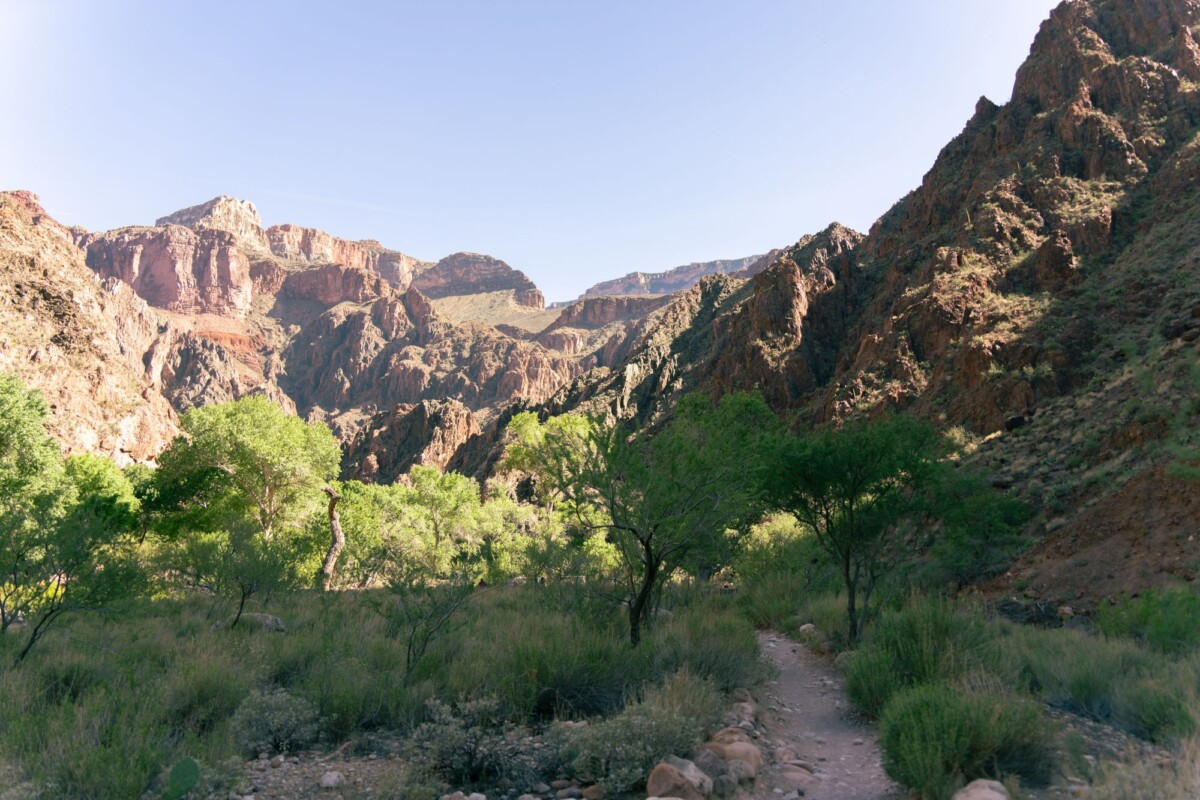
A day hike below the South Rim is demanding because the return climb comes last. South Kaibab Trail to Cedar Ridge is a popular shorter choice, while Skeleton Point is a longer objective for fit, prepared hikers. South Kaibab has no water taps, so carry all you need and use the park shuttle to reach the trailhead.
Bright Angel Trail offers water and rest facilities at certain points when services are operating, but availability can change with maintenance and season. Choose a turnaround point that leaves plenty of energy for the ascent. The National Park Service advises hikers to turn around before fatigue or heat become a problem, even if the planned landmark is still frustratingly close.
Do not attempt a rim-to-river-to-rim day hike simply because it appears on an activity tracker. The Grand Canyon’s official day hiking guidance sets out the heat, elevation and rescue risks clearly. A shorter, well-managed hike is still a proper Grand Canyon day.
Day 8: Grand Canyon to Sedona
Drive from the South Rim to Sedona in around 2.5 to 3 hours, covering roughly 115 to 120 miles. The route through Oak Creek Canyon is scenic but can be slow, especially at weekends and during autumn colour.
After arrival, choose a lower-commitment hike such as Bell Rock Pathway, Airport Mesa or a section of the Adobe Jack Trail system. These are good options after the Grand Canyon’s steep trails and give you a feel for Sedona’s red-rock landscape without using every remaining ounce of leg power.
Stay in West Sedona for easier parking, supermarkets and access to several trailheads. Uptown Sedona is handy for shops and restaurants but can be busy and more expensive. Village of Oak Creek works well for Bell Rock and trails south of town.
Day 9: Choose Your Sedona Hike
Use your final full day for one headline hike, then keep the afternoon free for lunch, a swim or a short scenic drive. Sedona trails are exposed, and summer heat changes the sensible timetable completely. Start near sunrise in hot months.
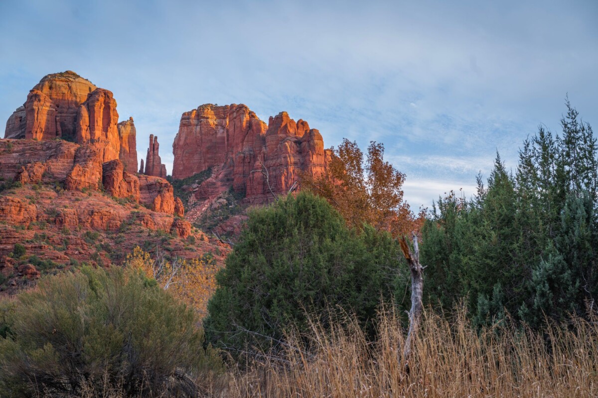
- Cathedral Rock: A short but steep scramble with exposed sections. Best for confident hikers who do not mind using hands for balance.
- Devil’s Bridge: A popular natural sandstone arch reached by a moderate hike. Parking and trail access can vary, so check current Coconino National Forest information.
- West Fork Trail: A cooler, wooded canyon walk north of Sedona. It is usually a better fit for families and hikers wanting less exposure.
- Soldier Pass: A moderate route known for its sinkhole and red-rock scenery. The trailhead has restricted parking, so confirm access requirements before leaving town.
Many Sedona trailheads require a Red Rock Pass, while some accept an America the Beautiful pass. Check the Coconino National Forest pass information and display the correct pass before setting out.
No products found.
Day 10: Sedona to Las Vegas
Drive from Sedona to Las Vegas via I-17 and US-93, generally around 280 miles and 4.5 to 5.5 hours without major stops. Leave early if you have an afternoon flight, allowing extra time to return the rental car and reach the terminal.
If your flight is the following day, use the extra night in Las Vegas for a slower finish. Our Las Vegas itinerary has ideas for filling an evening without trying to turn the final day into another full sightseeing mission.
What To Pack for Southwest Hiking
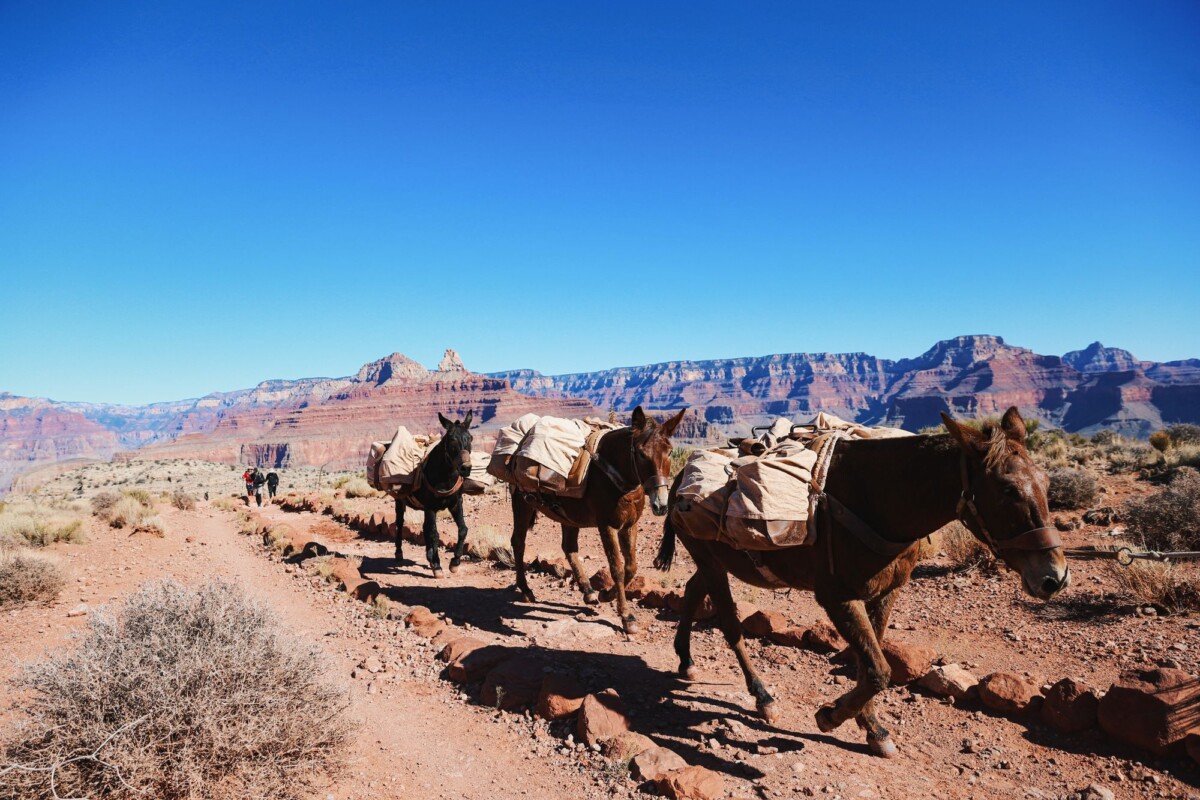
Water, sun protection and layers are more useful than a suitcase full of fashionable hiking gear. High elevations can be cold at dawn, while exposed trails can be punishingly warm by midday. Weather also changes quickly around Zion and Bryce Canyon.
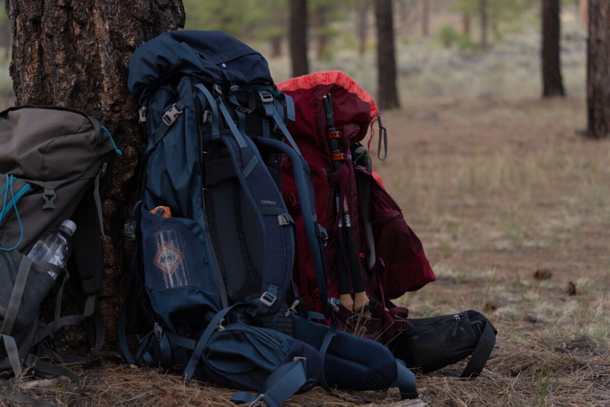
- A daypack with capacity for at least 2 to 3 litres of water per person, more for longer hot-weather hikes
- Broken-in hiking shoes or boots with good grip for rock, sand and uneven riverbed terrain
- Sun hat, sunglasses, sunscreen and a lightweight long-sleeve layer
- Warm insulating layer and rain shell for Bryce Canyon, the Grand Canyon and early starts
- Offline maps, portable battery, headlamp and a basic first-aid kit
- High-calorie snacks and electrolyte mix for long hikes
Our road trip essentials packing list is useful for the car-side items too, including chargers, coolers and the things that are oddly easy to forget until you need them.
How To Adjust This Itinerary
With fewer than ten days, skip either Page or Sedona. Page works best for travellers who want a guided slot canyon and Horseshoe Bend; Sedona is the stronger choice for extra hiking variety and a more relaxed finish.
With an extra two days, add Capitol Reef National Park between Bryce Canyon and Page, or spend another night in Zion to improve your chances of hiking the Narrows in suitable conditions. In winter, keep the route flexible and check road conditions daily, especially around Bryce Canyon and the Grand Canyon.
Campers should reserve developed campsites as soon as dates are known. Dispersed camping rules vary across public land, fire restrictions can change, and a rental car is no substitute for an all-terrain vehicle on rough tracks.
Frequently Asked Questions
Is ten days enough for an American Southwest hiking road trip?
Ten days is enough for Zion, Bryce Canyon, Page, Grand Canyon South Rim and Sedona if you use a Las Vegas return flight and avoid adding long detours. The itinerary allows seven hiking-focused days, although weather or permit availability may change individual plans.
What is the best month for this Southwest hiking route?
April, May, late September and October usually offer the best balance of hiking temperatures and road access. Zion and Sedona can still be warm in May and October, while Bryce Canyon and the Grand Canyon may have cold mornings and occasional snow outside summer.
Do you need reservations for US national parks on this route?
Park entry rules and timed-entry systems can change, so check each park’s official website before travel. You will need an Angels Landing permit if hiking beyond Scout Lookout, while accommodation, campgrounds and Antelope Canyon tours should be booked well ahead.
Can beginners do these hikes?
Beginners can enjoy many routes on this itinerary, including the Rim Trail, Queen’s Garden, Riverside Walk, Watchman Trail and Bell Rock Pathway. Angels Landing, the Narrows in difficult conditions and long descents below the Grand Canyon rim require more experience, fitness and careful judgement.