
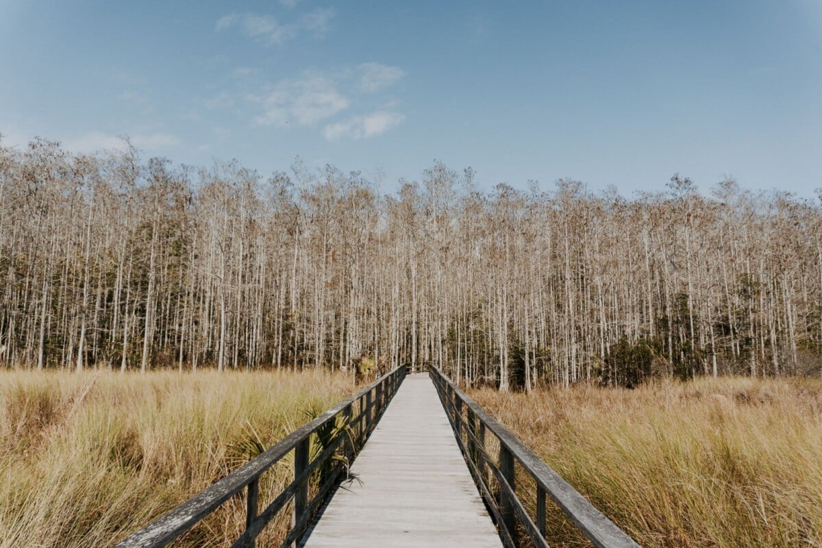
The Boardwalk Loop Trail is the easiest way to see Congaree National Park’s old-growth bottomland forest. The visitor centre, parking and the park’s most accessible route are all in the same area. For quieter water views and longer walks, Weston Lake, Cedar Creek and the Congaree River need more time, rougher surfaces and a sensible eye on weather and flood conditions.
Congaree is a park where access shapes your day. The terrain is largely flat, but trails can be muddy, rooty or closed after heavy rain, and some trailheads are a drive from the main visitor centre. Conditions are currently clear at 75°F with 34% humidity (as of September 2026), but floodplain trails can change quickly after rain. The distances below follow the National Park Service’s official Congaree hiking information. Check the park’s current conditions before setting off, especially after rain.
If you are building a wider US parks itinerary and prefer places away from the biggest crowds, see our guide to America’s most underrated national parks.
Congaree National Park Trails Compared By Access
| Trail | NPS Distance | Best Access Point | Surface And Access | Best For |
|---|---|---|---|---|
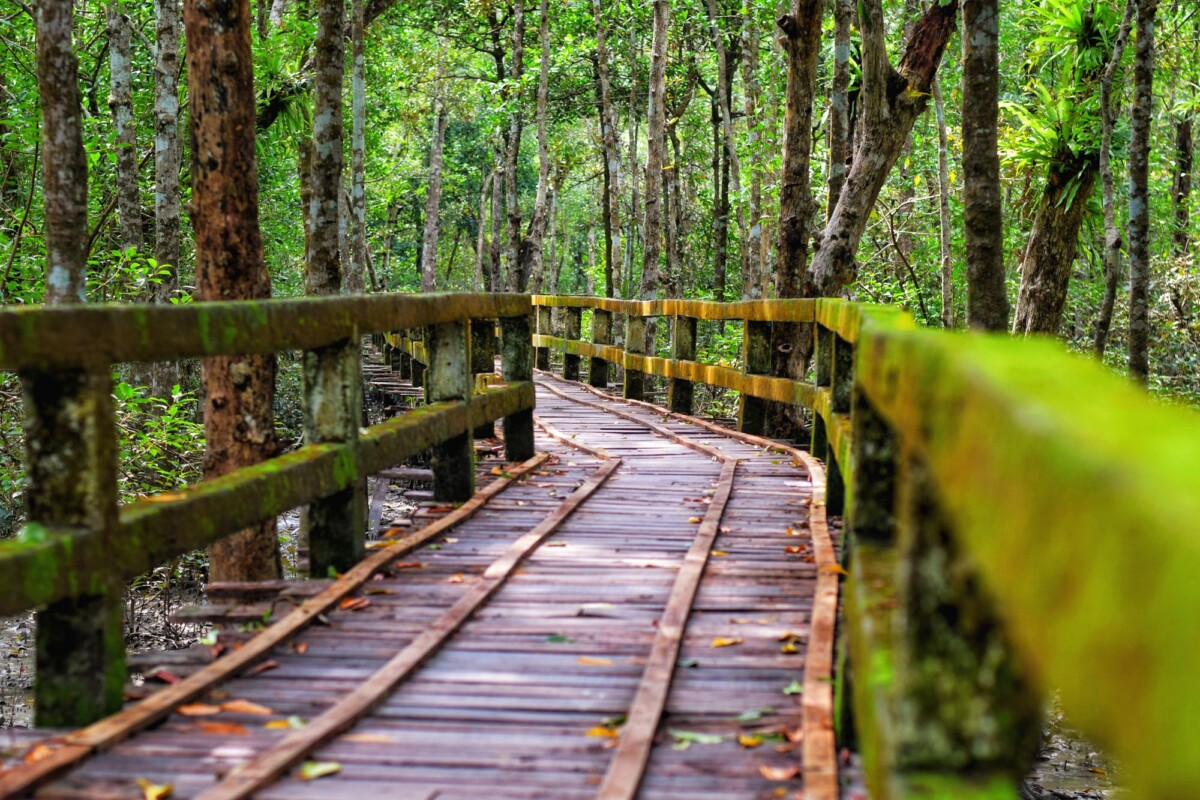
| Boardwalk Loop Trail | 2.6 miles loop | Harry Hampton Visitor Center | Elevated boardwalk; the park’s main accessible trail, though flooding and repairs can affect use | First visits, limited time and old-growth forest |
| Sims Trail | 1.2 miles | Visitor centre area | Natural-surface path with roots and mud possible | A short woodland extension |
| Bluff Trail | 1.7 miles | Boardwalk connection | Natural surface on higher ground | A quieter forest walk close to the main facilities |
| Weston Lake Loop Trail | 4.6 miles loop | Boardwalk connection or trail access | Natural surface; low, wet sections can be muddy or flooded | Lake views, birding and a half-day hike |
| Oakridge Trail | 6.6 miles loop | Visitor centre area | Natural-surface forest trail with limited facilities away from the trailhead | A longer flat hike without a remote trailhead drive |
| Kingsnake Trail | 7.5 miles | Cedar Creek Canoe Launch | Remote natural surface, often wet and muddy | Solitude and a fuller backcountry feel |
| River Trail | 10.7 miles | Cedar Creek Canoe Launch | Long natural-surface route; conditions can be difficult after rain | Congaree River access and a full-day walk |
Trail conditions in a floodplain can change quickly. A route that looks straightforward on a sunny morning may have standing water, slick boardwalk sections or fallen branches after a storm. Do not treat the listed mileage as a guarantee of walking time. Allow extra time for wet ground, wildlife stops and turning back if water covers the route.
Best Choice for Easy Access: Boardwalk Loop Trail
The 2.6-mile Boardwalk Loop Trail starts beside the Harry Hampton Visitor Center and is the clear first choice for most day-trippers. It passes through old-growth floodplain forest on a raised boardwalk, with large bald cypress, water tupelo and loblolly pine visible without committing to a long backcountry walk.
The National Park Service identifies the boardwalk as the park’s principal accessible route and provides information for visitors planning a mobility-friendly visit. Read the park’s official accessibility guidance before travelling, as flood damage, maintenance and temporary closures can change the practical experience.
Choose the boardwalk if you have two to three hours, are visiting with children, or want the strongest concentration of forest scenery near toilets, water and park information. It is also a sensible option when summer heat or mosquitoes make a longer day less appealing. The boardwalk can still be humid, damp and slippery, so wear shoes with decent grip.

We earn a commission if you buy through this link, at no extra cost to you.
Best Choice for a Short Natural-Surface Walk: Sims and Bluff Trails
Sims Trail and Bluff Trail are for walkers who want to step off the boardwalk without heading deep into the park. Sims is a short 1.2-mile woodland trail near the visitor centre. Bluff Trail runs for 1.7 miles along slightly higher ground reached from the boardwalk area.
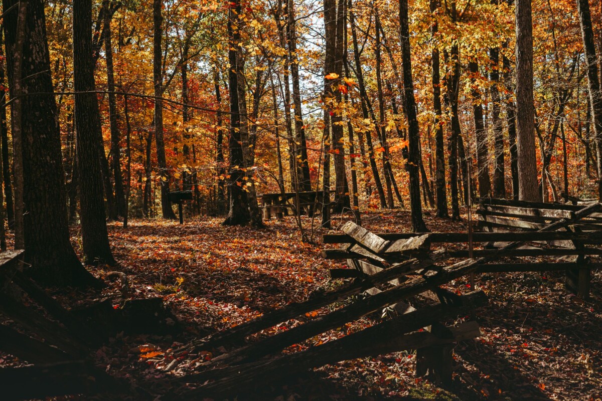
Both give you a more natural forest-floor walk, with leaf litter, roots and uneven ground underfoot. They are less suitable for wheelchairs, strollers and anyone who needs a firm, level surface. Expect mud after wet weather. Congaree’s low country has few hills, but a flat trail can still be slow when every step needs checking.
Pick Sims if your group has an hour or so after the boardwalk. Choose Bluff if you would like a little more distance and quieter woodland while staying close enough to the visitor centre for an uncomplicated half-day.
Best Choice for Water and Wildlife: Weston Lake Loop Trail
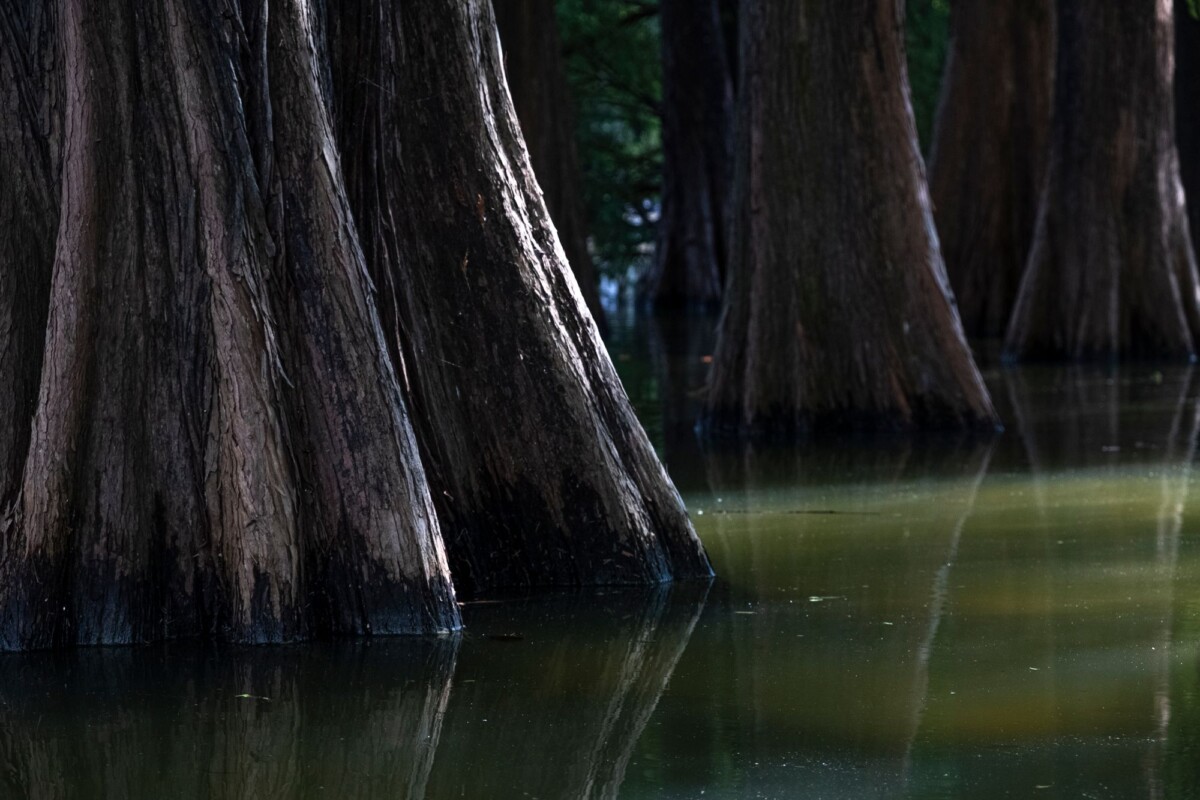
Weston Lake Loop Trail is the best walk for travellers who want a fuller sense of Congaree’s watery landscape without taking on its longest routes. The 4.6-mile loop passes Weston Lake, an oxbow lake formed when a river channel was cut off, and crosses low forest where changing water levels are part of the landscape.
Access is less straightforward than the Boardwalk Loop because the trail is longer and has a natural surface. Plan for a half day, carry drinking water and wear footwear that can handle mud. You can connect the route with the boardwalk, handy for a longer outing but enough to turn a casual walk into a fairly long day.
Birdwatchers and photographers often favour this area for its water, cypress knees and woodland edges. Keep a respectful distance from all wildlife, particularly snakes and alligators. The National Park Service advises visitors to stay aware of their surroundings and follow its park safety guidance around wildlife, heat and changing weather.
Best Choice for a Longer Hike: Oakridge and Kingsnake Trails
Oakridge Trail is the more convenient longer option for walkers based at the visitor centre. At 6.6 miles, it provides a substantial forest walk while keeping the day’s logistics simple. It is a good choice for hikers with a car who do not want to relocate to a remote trailhead.
Kingsnake Trail, at 7.5 miles, feels more removed from the visitor-centre circuit and begins at the Cedar Creek Canoe Launch. It is the better pick for confident hikers after quieter trails and more time in the floodplain forest. It also needs more preparation: tell someone your plan, download maps before arrival, and carry enough water and food for a delayed return.
Neither route has the maintained boardwalk surface or frequent facilities found near the visitor centre. Avoid long natural-surface trails during active thunderstorms, flood warnings or extreme heat. South Carolina summer weather can turn a dry-looking plan into a wet, thundery one with little notice.
For more ideas on planning food, water and practical kit for a driving holiday, see our guide to packing a compact camp kitchen for a US national park road trip.
If you enjoy comparing route distance, difficulty and likely time before committing, our Bryce Canyon hike comparison uses the same practical approach for a very different landscape.
Best Choice for the Congaree River: River Trail and Bates Ferry
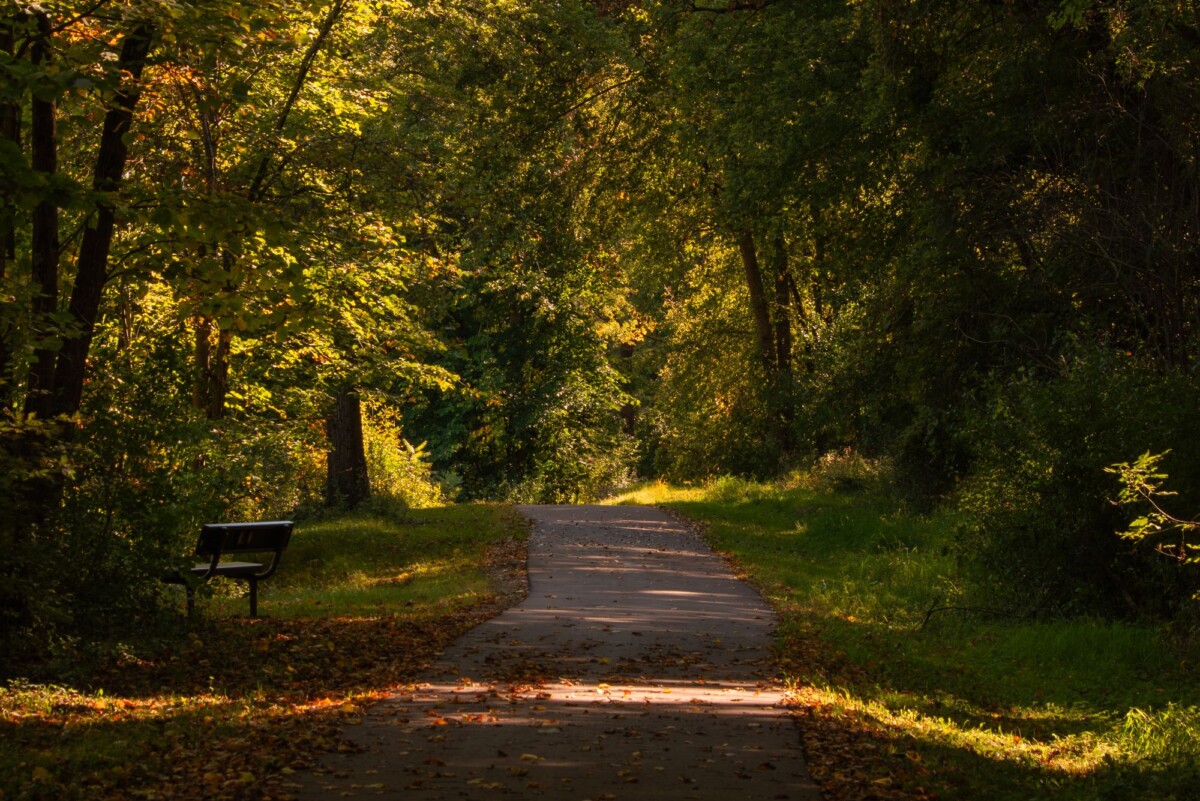
River Trail is for hikers with a full day, a confirmed weather window and an interest in reaching the park’s river landscape on foot. The 10.7-mile trail begins at the Cedar Creek Canoe Launch and heads towards the Congaree River through a more remote part of the park. Allow for slow progress if the ground is wet or water crosses the trail.
Bates Ferry is a separate riverside access area with a shorter trail of about 2 miles. It offers a more direct way to see the Congaree River, though it is not as convenient as the visitor centre and does not have the same concentration of facilities. Check the official trail map and current alerts before driving out, as flooding can affect road and trail access.
Choose River Trail if the hike itself is the day’s main event. Choose Bates Ferry if the river is the priority and you would prefer a shorter walk. Neither is a sensible substitute for the Boardwalk Loop if you have limited mobility or a tight timetable.
Natural Sights Compared By How Easy They Are To Reach
| Sight | Easiest Way To See It | Access Level | What To Know |
|---|---|---|---|
| Old-growth bottomland forest | Boardwalk Loop Trail | Easy | Best concentration of huge trees and interpretive context near the visitor centre |
| Bald cypress and water tupelo | Boardwalk and Weston Lake Loop | Easy to moderate | Water levels affect views and footing |
| Weston Lake | Weston Lake Loop Trail | Moderate | Allow a half day and expect a natural trail surface |
| Cedar Creek | Cedar Creek Canoe Launch | Moderate | Useful for paddlers and access to longer hiking routes |
| Congaree River | Bates Ferry or River Trail | Moderate to strenuous | Remote access and flood conditions can limit plans |
Congaree’s main attraction is the forest ecosystem as a whole, rather than a string of named viewpoints. Slow down on the boardwalk and look upward as well as across the swampy ground. The park protects one of the largest remaining examples of old-growth bottomland hardwood forest in the southeastern United States, according to the National Park Service.
Facilities, Parking and Arrival Planning
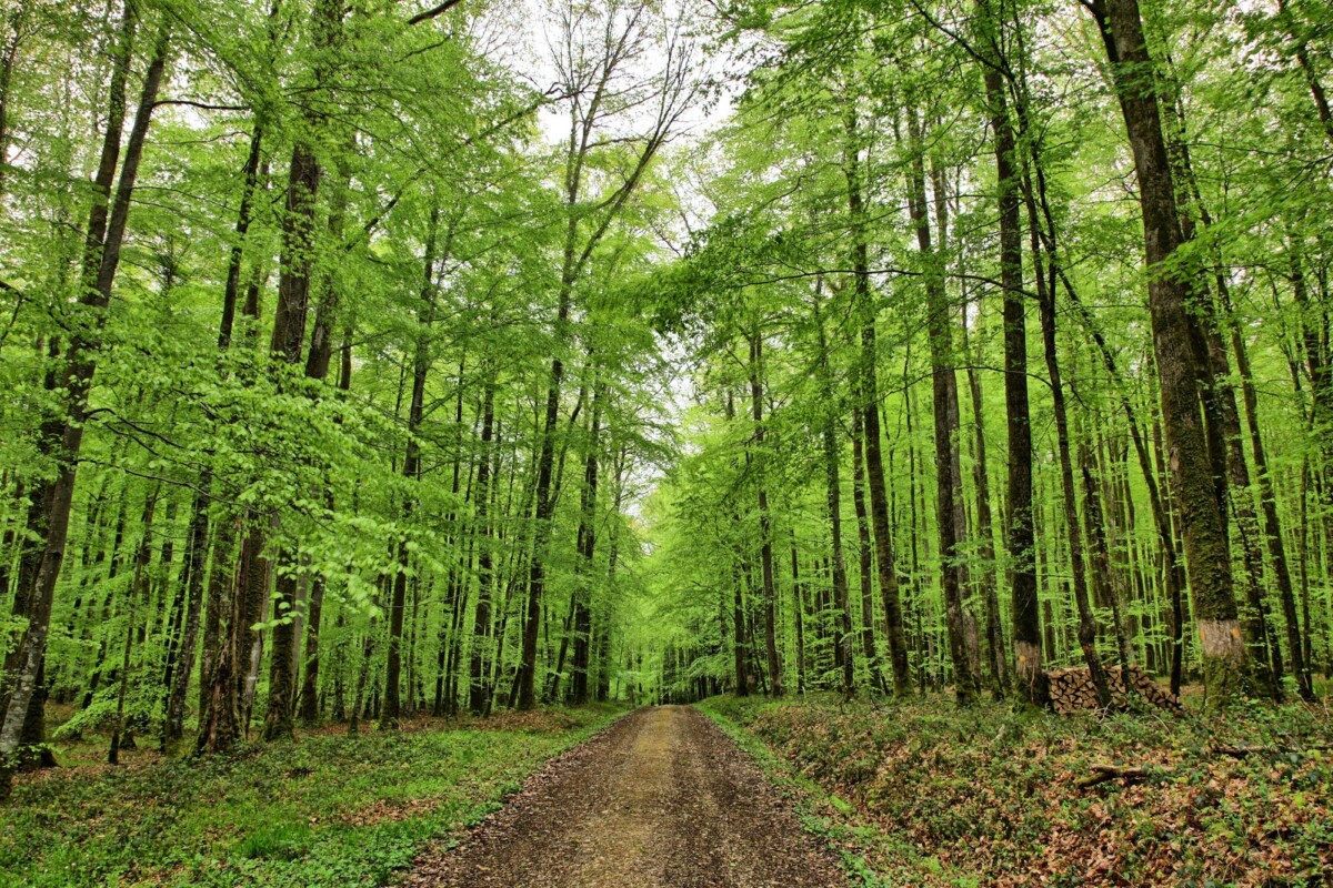
Start at the Harry Hampton Visitor Center if this is your first visit. It is the practical base for orientation, the Boardwalk Loop, nearby short trails and basic visitor facilities. The official address is 100 National Park Road, Hopkins, South Carolina 29061. A car is the realistic way to reach the park for most holidaymakers, as public transport does not provide a useful door-to-trailhead option.
Congaree National Park does not charge an entrance fee. The park’s fee and pass page confirms the current policy. If this is part of a wider US parks holiday, our guide to whether a US National Park Pass is worth it can help with the maths for parks that do charge admission. For another budget-minded park trip, see our roundup of free things to do in Bar Harbor and Acadia National Park.
There are no shops or restaurants inside the park, so pack water, snacks and insect repellent. Refillable bottles are useful, but do not rely on finding water at remote trailheads. Stock the vehicle before leaving Columbia or another larger town.
What To Pack for Congaree’s Trails
- Closed-toe shoes with good tread for slick boardwalks, roots and mud.
- Water and salty snacks, particularly for walks longer than the Boardwalk Loop.
- Insect repellent for mosquitoes and ticks, especially in warmer months.
- A rain jacket or poncho, as storms can develop quickly in the South Carolina low country.
- Offline maps and a charged phone for Oakridge, Kingsnake and River Trail.
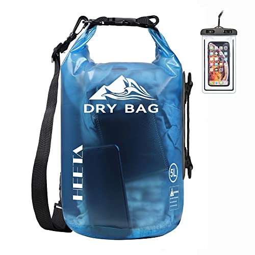
- A dry bag or waterproof pouch for a phone and map if rain or shallow water is possible.
 Prime
Prime
We earn a commission if you buy through this link, at no extra cost to you.
How To Choose the Right Congaree Trail
Pick the Boardwalk Loop Trail for a first visit, limited mobility, children or a short day. Add Sims or Bluff Trail if the boardwalk leaves you wanting a little more woodland beneath your boots.
Choose Weston Lake Loop for water scenery and a moderate half-day hike. Oakridge is the better longer walk if you prefer to keep your car at the visitor centre, while Kingsnake and River Trail suit prepared hikers seeking quieter, more remote terrain.
For an overnight hiking-focused trip, compare the planning demands with our guide to backpacking national parks. Congaree’s flat ground can be deceiving: water, heat and trail conditions decide the difficulty more than elevation does.
Frequently Asked Questions
What Is the Most Accessible Trail in Congaree National Park?

The Boardwalk Loop Trail is Congaree National Park’s most accessible hiking option. It starts at the Harry Hampton Visitor Center and follows an elevated boardwalk through the old-growth forest, though you should check for flood-related closures or repairs before arriving.
How Long Does the Boardwalk Loop Trail Take?
Most walkers should allow around two to three hours for the 2.6-mile Boardwalk Loop Trail, including stops for wildlife and interpretive signs. A quicker walk is possible, but the route rewards a slower pace.
Can You See Congaree National Park Without Hiking Far?
Yes. The Boardwalk Loop provides the park’s strongest introduction to its floodplain forest close to parking, toilets and visitor information. Shorter sections near the visitor centre work for travellers who do not want a long trail day.
Are Congaree National Park Trails Difficult?
Congaree’s trails have little elevation gain, but flooding, mud, roots, humidity and summer heat can make natural-surface routes demanding. Boardwalk Loop is the easiest choice, while River Trail and Kingsnake Trail need more preparation and time.
Do You Need a National Park Pass for Congaree?
No. Congaree National Park has no entrance fee, so an America the Beautiful pass is not required for admission. Check the National Park Service website before travel in case park policies change.