
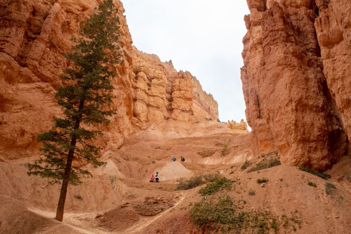
The best Bryce Canyon hike for most first-time visitors is the Navajo Loop and Queen’s Garden Trail: it is a 3-mile loop with about 650 feet of elevation gain and usually takes two to three hours. Shorter walks such as Bristlecone Loop and Mossy Cave suit families or anyone short on time, while Peekaboo Loop and Fairyland Loop are proper half-day outings with sustained climbs.
Bryce Canyon sits at roughly 8,000 to 9,000 feet above sea level, so trail time often feels longer than the distance suggests. Start early in warm weather, carry more water than you expect to need and check the National Park Service trail conditions on the morning of your hike. Storms, snow, ice and maintenance work can close sections of trails, particularly the Wall Street side of Navajo Loop.
Bryce Canyon Hikes at a Glance
| Trail | Distance | Elevation Gain | Typical Time | Difficulty | Best For |
|---|---|---|---|---|---|
| Bristlecone Loop | 1 mile loop | 88 ft | 1 hour | Easy | A quick high-elevation forest walk |
| Mossy Cave | 0.9 miles return | 300 ft | 1 hour | Easy to moderate | Families and a short stop away from the main amphitheatre |
| Queen’s Garden | 1.8 miles return | 320 ft | 1 to 2 hours | Moderate | First hoodoo hike with a manageable climb |
| Navajo Loop | 1.5 miles loop | 515 ft | 1 to 2 hours | Moderate | Short, steep route into the amphitheatre |
| Navajo Loop and Queen’s Garden | 3 miles loop | 652 ft | 2 to 3 hours | Moderate | Most first-time visits |
| Tower Bridge | 3 miles return | 826 ft | 2 to 3 hours | Moderate | A quieter route with a natural rock tower finish |
| Swamp Canyon Loop | 4 miles loop | 647 ft | 3 to 4 hours | Moderate | Quieter hiking away from the main viewpoints |
| Peekaboo Loop | 5.2 miles loop | 1,453 ft | 3 to 4 hours | Strenuous | Fit hikers who want a longer hoodoo route |
| Fairyland Loop | 8 miles loop | 1,558 ft | 4 to 5 hours | Strenuous | A full morning or afternoon on less-busy trails |
Distances, elevation figures and estimated times are from the National Park Service’s Bryce Canyon day-hike information. Times are planning estimates, not a target pace. Allow extra time for photo stops, heat, children, snow, frequent breaks or the effect of altitude.
Easy Bryce Canyon Hikes for Limited Time or Energy
Bristlecone Loop
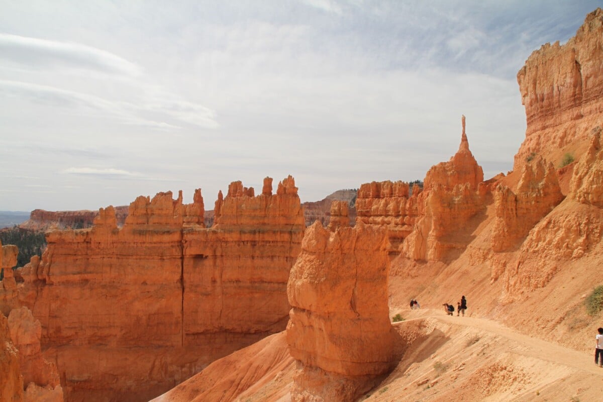
Bristlecone Loop is the easiest marked hike in this comparison. The 1-mile loop begins near Rainbow Point at the southern end of the park road and passes through a forest of ancient bristlecone pines. It has modest elevation change and works well if you are driving the full scenic road and want to stretch your legs without committing to a canyon descent.
The route is very different from the familiar hoodoo trails around Sunset Point. Choose it for trees, viewpoints and a gentler walk; choose Queen’s Garden if seeing formations up close is your priority.
Mossy Cave Trail
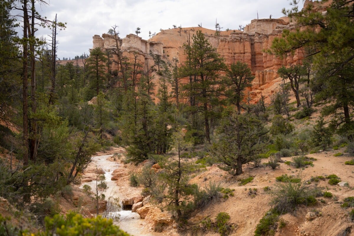
Mossy Cave Trail is a 0.9-mile return walk north of the main park entrance, close to the junction of Highway 12 and Highway 63. It follows a stream and the Tropic Ditch before a short climb to Mossy Cave and a small waterfall. The cave is a grotto, not a deep cavern, and its icy features are most likely in colder months.
This is a sensible choice for families and travellers arriving from Tropic, but it is not on the main shuttle route. Parking is limited, and the short trail can feel busy in the middle of the day.
The Best Bryce Canyon Hike for First-Time Visitors
Navajo Loop and Queen’s Garden Trail
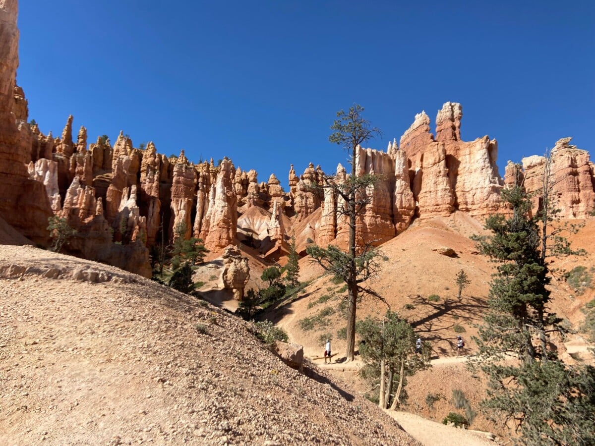
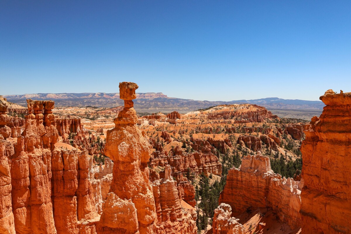
The combined Navajo Loop and Queen’s Garden Trail gives you the clearest introduction to Bryce Canyon’s amphitheatre: switchbacks, hoodoos, narrow sections of trail and views across the rim. Most hikers start at Sunset Point, descend Navajo Loop, join the Queen’s Garden Trail and climb back to Sunrise Point. Walking this direction puts the longer ascent near the end, so leave a little in the tank.
Plan on two to three hours for the 3-mile loop. It is regularly described as moderate, though the elevation and steep return make it feel hard for anyone unused to hiking uphill at altitude. Wear shoes with grip. The path can be dusty in dry weather and slippery when wet or icy.
Wall Street, Navajo Loop’s narrow switchback section, usually closes during winter because of falling rock and ice hazards. When it is closed, the Two Bridges side may remain available, allowing a modified out-and-back route. Confirm the day’s access before setting off, because the route you saw in a summer photograph may be unavailable.
Queen’s Garden Trail
Queen’s Garden is the gentler standalone choice. It descends from Sunrise Point through hoodoos to the Queen Victoria formation, with a 1.8-mile return distance and 320 feet of elevation gain. The grade is more forgiving than Navajo Loop, although the return is still uphill.
Pick this route if you want a proper descent below the rim but have one to two hours, are hiking with younger children or would prefer to avoid the steeper switchbacks. It also works well when Wall Street is closed.

We earn a commission if you buy through this link, at no extra cost to you.
Moderate Hikes for a Quieter Bryce Canyon Walk
Tower Bridge Trail
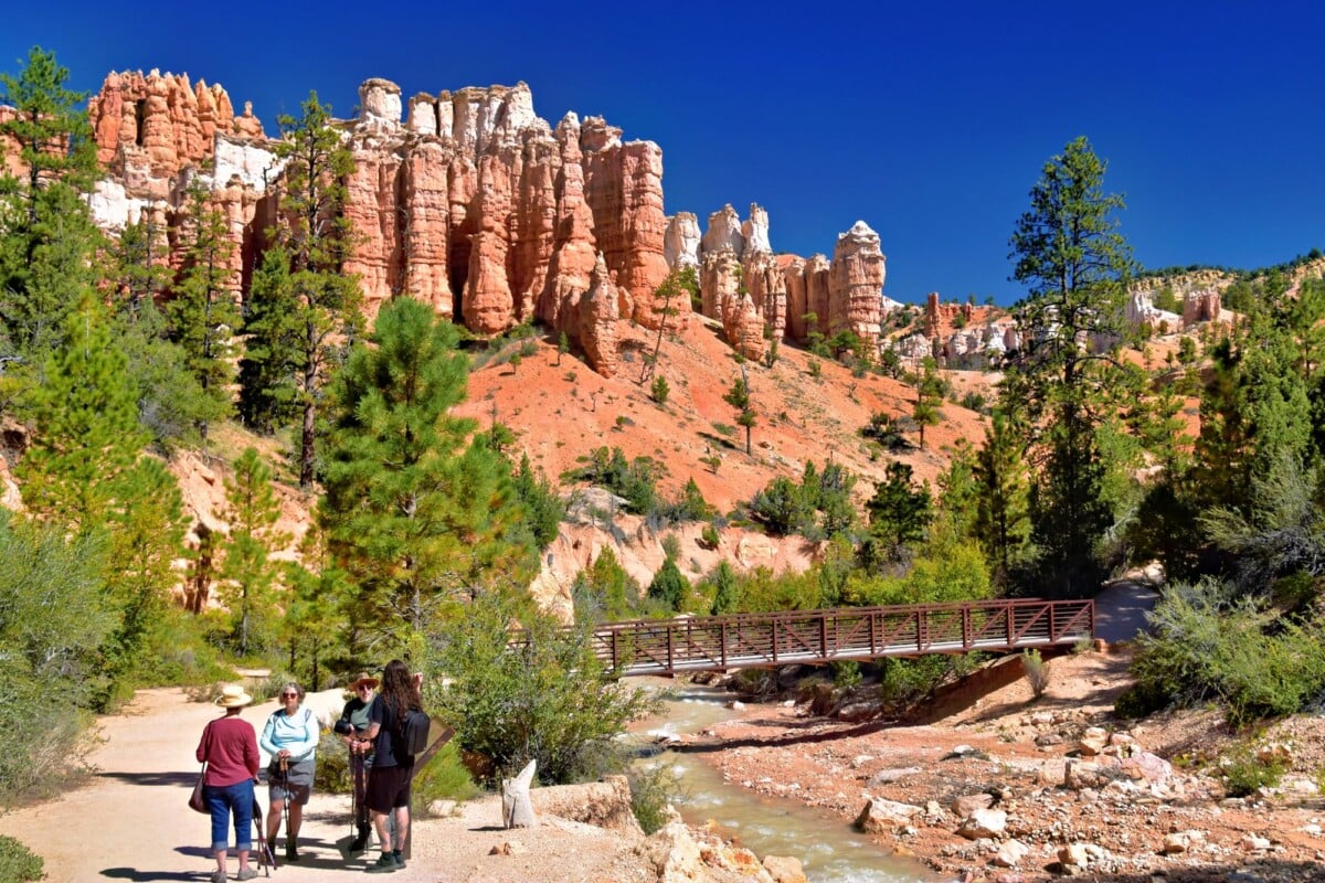
Tower Bridge Trail is a 3-mile return hike from Sunrise Point, descending through the canyon to a large formation that resembles a stone tower. The National Park Service lists 826 feet of elevation gain, which comes on the climb back to the rim. Its moderate distance can be misleading on a hot afternoon.
The trail shares its opening with Queen’s Garden, then becomes quieter as it heads away from the busiest section of the amphitheatre. It is a good route for hikers who have already seen the Navajo and Queen’s Garden area or prefer a less crowded option without taking on a full-day loop.
Swamp Canyon Loop
Swamp Canyon Loop is a 4-mile route with 647 feet of gain, reached from Swamp Canyon Overlook on the southern scenic drive. The trail drops below the rim and crosses a more wooded landscape than the classic central amphitheatre routes.
Allow three to four hours, especially if you are adjusting to the elevation. The drive to the trailhead takes time, but this is part of its appeal: it receives far fewer hikers than the trails near the main Bryce Amphitheatre.
Strenuous Bryce Canyon Hikes for a Half Day
Peekaboo Loop Trail
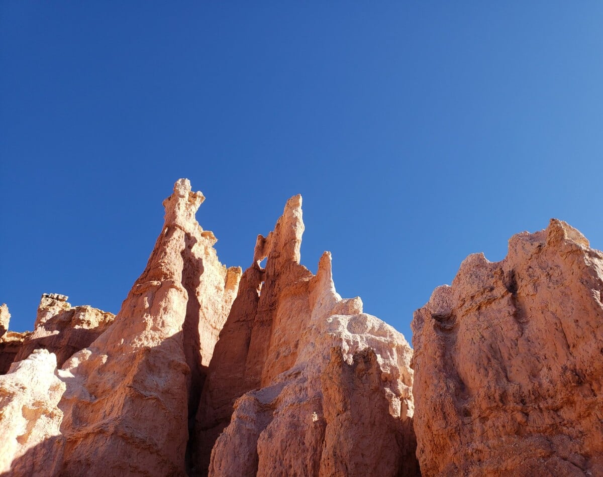
Peekaboo Loop is a 5.2-mile loop with 1,453 feet of elevation gain. It starts and finishes at Bryce Point, with a sustained descent into the canyon followed by the climb out. The trail passes dense groups of hoodoos and offers a more immersive experience than the short rim-to-canyon routes.
Three to four hours is a realistic minimum for fit hikers in good conditions. Carry at least enough water for a half day, pack salty snacks and avoid beginning this route late in the afternoon. Bryce Canyon’s summer thunderstorms can build quickly, and exposed sections are a poor place to be during lightning.
Strong hikers can connect Peekaboo Loop with Navajo Loop and Queen’s Garden to create a much longer figure-eight route. That is a rewarding option only when all connected trails are open and you have the daylight, water and fitness for several steep climbs.
Fairyland Loop Trail
Fairyland Loop is the longest day hike on this list at 8 miles with 1,558 feet of elevation gain. It can be started at Fairyland Point or Sunrise Point, and it travels through a wide spread of hoodoos beyond the busiest central trails. Four to five hours is the National Park Service estimate, but a slower group should allow longer.
Fairyland Loop suits experienced day hikers who want distance, changing views and a trail that feels more remote than the amphitheatre walks. The route has little room for casual improvisation once you are well below the rim. Begin early, tell someone your plan and download any map you need before mobile signal disappears.
How To Choose the Right Bryce Canyon Trail
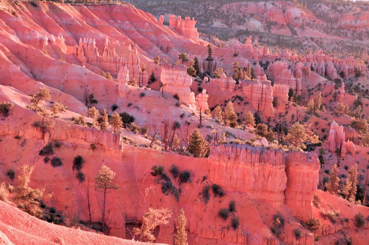
Choose the route based on your available time, comfort with uphill walking and where you are staying. Bryce Canyon City, Tropic and Cannonville are useful bases, though an early start often matters more than shaving a few minutes off the drive.
- Have one hour: Bristlecone Loop or Mossy Cave Trail.
- Have two hours: Queen’s Garden or Navajo Loop, if the relevant section is open.
- Have half a day: Navajo Loop and Queen’s Garden, Tower Bridge, Swamp Canyon Loop or Peekaboo Loop, depending on fitness.
- Want the main Bryce Canyon experience: Navajo Loop and Queen’s Garden is the strongest all-round choice.
- Want fewer crowds: Tower Bridge, Swamp Canyon Loop and Fairyland Loop are better bets than trails around Sunset and Sunrise points.
- Hiking with children: Mossy Cave and Queen’s Garden are more manageable than the longer loops, but adults should still plan for the uphill return.
Good footwear matters more here than a huge pack. Trail runners or hiking shoes with a grippy sole are usually enough in dry conditions; winter hiking may require traction aids, warm layers and a more cautious plan. For general long-walk preparation, this trek packing list has useful reminders on water, layers and carrying essentials.

We earn a commission if you buy through this link, at no extra cost to you.
Trail Access, Shuttle Use and Safety
The Bryce Canyon shuttle serves key stops in the Bryce Amphitheatre during its operating season, including the visitor centre, Sunrise Point, Sunset Point and Bryce Point. It can save time and parking stress around the park’s busiest trailheads. Check the official shuttle schedule and stops before planning a one-way hike around its service hours.
Park roads and trails can close after snow, storms or rockfall. Conditions at the rim and in the canyon can differ sharply, and snowmelt may create muddy or icy sections. A trail reading of 72F with 39% humidity (as of September 2026) may sound comfortable, but the high elevation, sun and uphill return can still catch out hikers who have not carried enough water. Carry water, protect yourself from sun exposure and turn around if weather or physical condition changes.
Do not rely on a phone for navigation, water or emergency access. Download an offline map, tell your travel companion where you are going and carry a paper park map if you are tackling Fairyland or Peekaboo. A short route can become a long one when the return climb arrives after lunch.
Frequently Asked Questions
What Is the Easiest Hike in Bryce Canyon?
Bristlecone Loop is the easiest of Bryce Canyon’s main signed hikes, covering 1 mile with only 88 feet of elevation gain. Mossy Cave Trail is another short option, though its 300-foot climb makes it slightly more demanding.
What Is the Most Popular Bryce Canyon Hike?
The Navajo Loop and Queen’s Garden combination is Bryce Canyon’s most popular hike because it connects Sunset Point and Sunrise Point through the hoodoos. Allow two to three hours and check whether Wall Street is open before choosing the exact direction.
How Long Does the Navajo Loop and Queen’s Garden Trail Take?
The 3-mile Navajo Loop and Queen’s Garden Trail typically takes two to three hours. The 652 feet of elevation gain and Bryce Canyon’s high elevation can slow hikers who are used to lower-altitude walks.
Can Beginners Hike in Bryce Canyon?
Beginners can hike in Bryce Canyon by choosing a short route, starting early and allowing plenty of time for the uphill return. Bristlecone Loop, Mossy Cave and Queen’s Garden are more approachable than Peekaboo Loop or Fairyland Loop.
Do You Need Hiking Boots for Bryce Canyon?
Sturdy walking shoes or trail runners with good grip are suitable for many Bryce Canyon trails in dry conditions. Hiking boots, traction aids and warmer layers are more useful during cold, snowy or icy periods, when checking trail status is essential.