
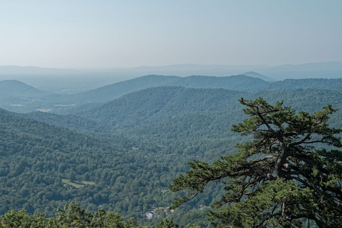
Shenandoah National Park hikes run from gentle, family-friendly woodland loops to full-day routes with steep climbs and rock scrambles. This comparison covers eight popular trails by official distance, elevation gain, trailhead access and realistic hiking time, so you can pick a walk that suits your fitness, daylight and road-trip plan. If you are comparing parks on a wider trip, our guide to Bryce Canyon hikes uses the same practical approach.
Most trailheads are along Skyline Drive, where overlooks, slow traffic and busy car parks can make a short hike take longer than the map suggests. Check the National Park Service trail and weather conditions before setting out, particularly after heavy rain, during leaf season and in winter.
Shenandoah National Park Hikes Compared at a Glance

| Hike | Official Distance | Elevation Gain | Allow | Best For |
|---|---|---|---|---|
| Limberlost Trail | 1.3-mile loop | Minimal | 45–60 minutes | An easy, largely level forest walk |
| Stony Man | 1.6-mile loop | 340 feet | 1–1.5 hours | A short summit viewpoint |
| Dark Hollow Falls | 1.4-mile return | 440 feet | 1.5–2 hours | A waterfall with a steep return climb |
| Hawksbill Summit | 2.9-mile loop | 860 feet | 2–3 hours | The park’s highest point |
| Bearfence Mountain | 1.2-mile loop | 311 feet | 1–1.5 hours | A brief but hands-on rock scramble |
| Marys Rock | 3.7 miles return | 1,210 feet | 3–4 hours | A longer, sustained climb to a viewpoint |
| Rose River Loop | 4-mile loop | 910 feet | 3–4 hours | Waterfalls and streamside walking |
| Old Rag | 9.4-mile loop | 2,348 feet | 5–7 hours | Experienced hikers seeking a demanding day hike |
These time estimates include sensible breaks. Allow extra time for overlooks, queues at popular trailheads, wet rocks and the very human habit of taking too many photos at a decent viewpoint.
Shenandoah charges an entrance fee, with a private-vehicle pass valid for seven consecutive days. Check the official Shenandoah entrance-fee page for current rates and pass options. If you are visiting several federal recreation sites on one trip, compare the numbers with this guide on whether a U.S. National Park Pass is worth it.
Easy Shenandoah Hikes for a Short Walk
Limberlost Trail: Best for an Accessible Forest Loop
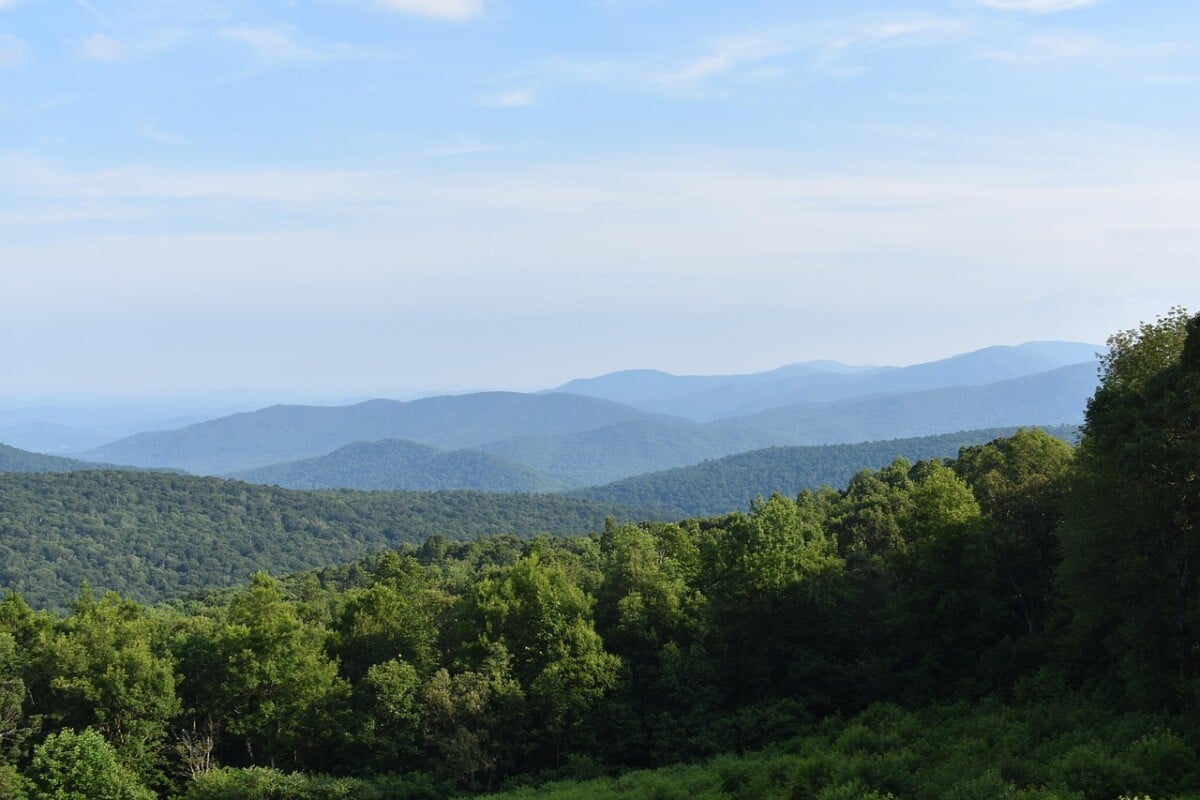
Limberlost Trail is a 1.3-mile loop near milepost 43 on Skyline Drive. The route follows a wide, mostly level crushed-greenstone path through forest, with boardwalk sections and benches. It is one of the most practical choices for families, anyone easing into a hiking day or walkers who want a dependable option in changeable weather.
The trail passes through a former hemlock forest and feels quieter and more enclosed than Shenandoah’s summit routes. It does not offer a big valley view, so come for the woods and an easy hour outdoors. For another trail guide focused on surfaces and straightforward walking, see our Congaree National Park trails.
Stony Man: Best Short Hike With a Big View
Stony Man is a 1.6-mile loop with around 340 feet of elevation gain, starting at the Stony Man trailhead near milepost 41.7. The graded route is manageable for many beginners, though roots, stones and a few uphill sections still call for proper footwear.
The viewpoint faces west over the Shenandoah Valley and Massanutten Mountain. Plan roughly 90 minutes if you want time at the overlook. Parking can fill on weekends and during autumn colour, so an early start makes the outing much calmer.
 Prime
Prime
We earn a commission if you buy through this link, at no extra cost to you.
Moderate Shenandoah National Park Hikes With Waterfalls and Views
Dark Hollow Falls: Best for a Quick Waterfall Stop
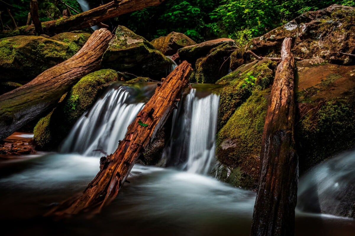
Dark Hollow Falls is a 1.4-mile return hike near milepost 50.7. The first half descends steadily to the falls, which sounds pleasant until you remember that every downhill step becomes an uphill one on the way back. The National Park Service lists about 440 feet of elevation change.
Allow 90 minutes to two hours and wear shoes with grip. The rocks around the falls are slippery, especially after rain, and the trail is often busy. The main viewing area gives you a good look at the falls without stepping off the marked route.
Hawksbill Summit: Best for the Highest Point in the Park
Hawksbill is Shenandoah National Park’s highest summit at 4,050 feet. The Lower Hawksbill Trail creates a 2.9-mile loop with about 860 feet of ascent from the trailhead at milepost 45.6. It is a steady moderate hike, with a stone observation platform near the top.
Allow two to three hours, including time for the view. The summit can feel noticeably cooler and windier than Skyline Drive pull-offs, so pack an extra layer even on a warm day. A shorter Upper Hawksbill route also reaches the summit, though the lower route gives you more of a proper walk.
Bearfence Mountain: Best for a Short Rock Scramble
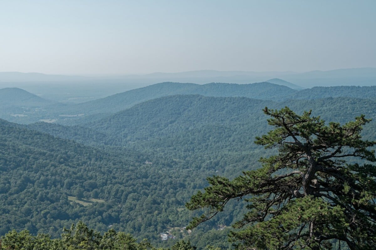
Bearfence Mountain packs plenty into 1.2 miles and roughly 311 feet of climbing. The loop begins at milepost 56.4 and includes a rocky scramble where you use hands as well as feet. It is short on paper, but not an easy stroll.
This route suits confident hikers comfortable moving over exposed boulders. It is a poor choice for anyone with a fear of heights, limited mobility, young children needing close assistance, or hikers carrying large packs. Do not attempt the rock scramble during rain, ice, thunderstorms or high winds.
Longer Shenandoah Hikes for a Half Day
Marys Rock: Best for a Challenging Viewpoint Hike
Marys Rock via the Panorama parking area is a 3.7-mile return walk with about 1,210 feet of elevation gain. The trailhead is near milepost 31.5, making it useful if you are entering from the Front Royal end of Skyline Drive.
The climb is sustained, with rocky ground and little flat recovery. Allow three to four hours at a comfortable pace. The summit has broad views, but wind and cloud can roll through quickly, so do not judge the forecast solely by the weather at your hotel. For another useful comparison of demanding routes, see our Guadalupe Mountains trails.
Rose River Loop: Best for Waterfalls and Forest Variety
Rose River Loop is a 4-mile circuit with around 910 feet of elevation gain, accessed near Fishers Gap at milepost 49.4. It links the Rose River Falls area with Dark Hollow Falls and combines woodland, cascades and stream crossings.
Allow three to four hours. The route is more demanding than Dark Hollow Falls alone because of the extra distance and climbing, but it is a better fit if you want one substantial waterfall walk rather than a quick stop. After rain, expect mud and slick stone around the water.
 Prime
Prime
We earn a commission if you buy through this link, at no extra cost to you.
Old Rag: Shenandoah’s Most Demanding Popular Day Hike
Old Rag is a 9.4-mile loop with about 2,348 feet of elevation gain, with a long uphill approach and a serious rock scramble near the summit. Main access is via the Old Rag parking area in the Nethers area, outside the Skyline Drive corridor, so do not treat it as a casual stop while driving through the park.
Most hikers should allow five to seven hours, and slower groups may take longer. The scramble involves narrow passages, steep rock moves and waiting behind other hikers during busy periods. Carry more water and food than you would for a three-mile hike, start early and make a firm turnaround decision if weather or pace is working against you. If you are self-catering on a wider trip, a compact camp kitchen for a US National Park road trip can help keep food and kit manageable in the car.
An Old Rag day-use ticket is required from 1 March through 30 November. The National Park Service limits numbers to manage congestion on the route. Reserve through the official Old Rag hiking information page, where you can also check the current ticket rules, parking details and route alerts.
Old Rag is a solid benchmark for hikers planning longer routes in other parks. For more ideas beyond Virginia, this guide to backpacking national parks, hikes and camping can help you compare trip styles and preparation needs.
How To Choose a Shenandoah Hike by Fitness and Available Time
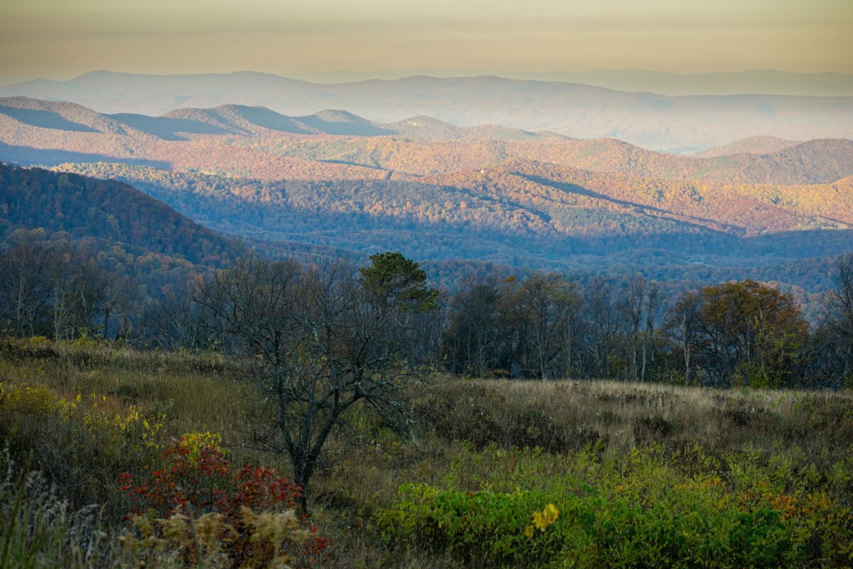
Choose Limberlost if you want a level, low-commitment walk. Pick Stony Man for the best balance of short distance and viewpoint reward. Dark Hollow Falls works well for a waterfall stop, though the climb back is tougher than its mileage suggests.
- Have one hour: Limberlost, Stony Man at a brisk pace, or Bearfence for experienced and agile hikers.
- Have two to three hours: Hawksbill, Dark Hollow Falls, or Stony Man with a leisurely stop at the overlook.
- Have three to four hours: Marys Rock or Rose River Loop.
- Have a full day and solid hiking fitness: Old Rag, with a reservation during the ticketed season.
Distance alone is a poor measure of Shenandoah difficulty. A 1.2-mile route involving a rock scramble can demand more balance, confidence and attention than a longer forest trail. Check the trail description, elevation profile and surface before relying on a mileage figure.
Seasonal Safety for Shenandoah National Park Hikes
Spring brings high water, mud and changeable temperatures. If you are planning an early-season park trip, our guide to national parks to visit in March can help with the wider itinerary. Summer means heat, humidity, thunderstorms and insects. Autumn brings heavy traffic and crowded trailheads during peak foliage, while winter can leave shaded trails icy long after roads look clear. For a broader autumn plan, see our picks for national parks to visit in October.
The National Park Service advises hikers to carry water, food, a map, a torch or headlamp, rain protection and extra clothing. Mobile coverage is unreliable in parts of the park, so download maps before you arrive and tell someone where you are going. Do not rely on a phone as your only navigation tool.
- Stay on marked trails and away from waterfall edges and wet rock.
- Check yourself for ticks after hiking, especially in warmer months.
- Watch the sky and leave exposed ridges promptly when thunderstorms approach.
- Give black bears space, keep food secured and never feed wildlife.
- Turn back if a trail is icy, a stream crossing is unsafe or daylight is running short.
The park’s official hiking page has current route descriptions and links to trail maps. A paper map is still useful when the signal disappears, which tends to happen at exactly the moment you are most certain you know the way. For another route where seasonal access rules matter, our Mount Fremont Lookout Trail planner covers the practical details to check before you set off.
Where To Stay for Shenandoah Hiking
Front Royal suits hikers focused on the northern section of Skyline Drive, including Marys Rock and nearby trails. Luray is practical for Thornton Gap access and for combining hiking with local attractions. For Hawksbill, Dark Hollow Falls, Rose River and Bearfence, staying near the central Skyline Drive entrances reduces morning driving.
Book accommodation well ahead for weekends in October and during holiday periods. Check the drive time to your chosen trailhead, not only the town name, since Skyline Drive’s speed limits and overlooks make distances feel longer than they appear.
Frequently Asked Questions About Shenandoah National Park Hikes
What Is the Easiest Hike in Shenandoah National Park?
Limberlost Trail is among the easiest Shenandoah hikes. Its 1.3-mile loop is mostly level and follows a broad crushed-stone path, making it a sensible choice for a gentle forest walk.
Which Shenandoah Hike Has the Best View for the Least Effort?
Stony Man is a strong option for a short hike with a wide valley view. The 1.6-mile loop has moderate uphill sections but requires far less time and climbing than Marys Rock or Old Rag.
How Long Does Old Rag Take?
Allow five to seven hours for the 9.4-mile Old Rag loop, plus time for parking and any delays at the rock scramble. The route is strenuous and requires a day-use ticket between 1 March and 30 November.
Do You Need Hiking Boots in Shenandoah National Park?

Supportive walking shoes with good grip are sufficient for easy, dry trails such as Limberlost. Hiking boots or sturdy trail shoes are a better fit for rocky, steep or wet routes, including Old Rag, Bearfence and waterfall trails.
Can You Hike Shenandoah in Winter?
Yes, but trail surfaces can be icy and Skyline Drive may close during or after winter weather. Check official road and trail conditions on the day, carry warm layers and choose a conservative route if ice is present.