
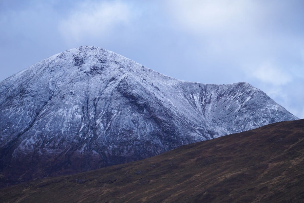
The Saddle is a 1,010-metre Munro above Glen Shiel in Kintail, usually approached from the A87 via Coire Lochain and the Forcan Ridge. It is a demanding mountain day with roughly 1,000 metres of ascent, steep ground, exposed scrambling and serious consequences if cloud, wind or winter conditions move in.
The usual summer outing is an out-and-back walk, allowing a full day for the route and a generous margin for slower progress on the ridge. The direct line is compact on a map, but this is not a quick roadside summit. Good navigation, hill fitness and a willingness to turn back are part of the plan.
At A Glance: The Saddle Hike in Kintail
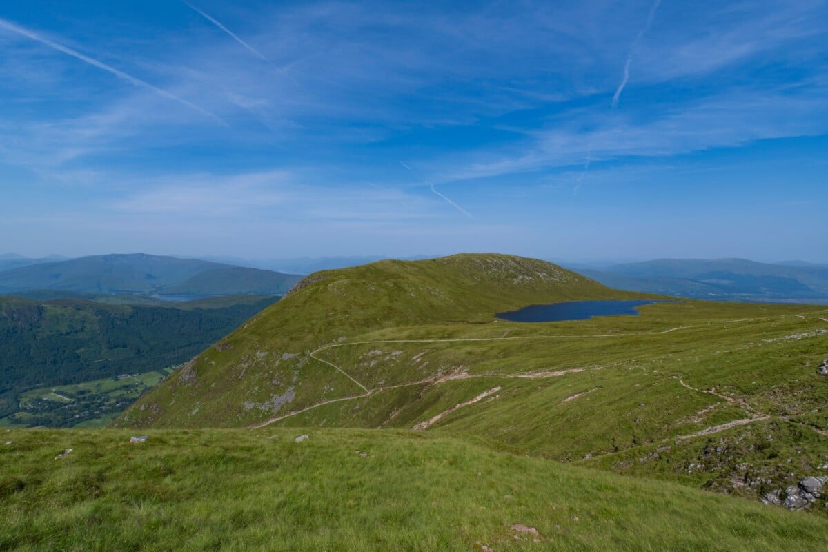
- Summit: The Saddle, 1,010m
- Area: Kintail, in the Northwest Highlands, south of the A87 between Shiel Bridge and the Cluanie Inn
- Common route: Coire Lochain and the Forcan Ridge
- Allow: a full day, often six to eight hours in summer conditions
- Terrain: rough path, steep ascent, loose rock, exposed ridge and short scrambling sections
- Best suited to: confident, experienced hillwalkers who are comfortable on steep and exposed ground
- Maps: use a current Ordnance Survey map and carry a paper backup alongside a charged phone or GPS device
Route times published by walking guides are useful planning estimates, not promises. Wind, wet rock, low cloud, a busy ridge or a group member having a wobble with exposure can add a fair bit of time. Scotland does not hand out bonus points for reaching the car in darkness.
Where Is The Saddle and Where Do You Start?
The Saddle sits on the south side of the A87 in Glen Shiel, around 10 miles east of Shiel Bridge. The standard approach begins at a small roadside parking area near the entrance to Coire Lochain, beside the A87. Space is limited, so arrive early, park fully off the carriageway and keep gates, passing places and estate access clear.
Use the current route shown on OS Maps to identify the appropriate parking point and your intended line before leaving your accommodation. Mobile signal can be patchy in Glen Shiel, and a downloaded map is helpful, though it should not be your only means of navigation.
The nearest useful services are in Shiel Bridge and Kyle of Lochalsh. Fuel, food, toilets and accommodation options are limited around the glen itself, so sort supplies before driving east on the A87. For wider road-trip planning, our guide to staying connected on a Scotland road trip explains why downloaded maps and an offline route plan are sensible in the Highlands.
How To Get to the Kintail Saddle Trailhead
Driving
Driving is the most practical way to reach The Saddle. The A87 runs through Glen Shiel and links Invergarry, the A82 and Fort William side of the Highlands with Shiel Bridge, Kyle of Lochalsh and Skye. It is a scenic road, though its bends, changing weather and touring traffic make it slower than a map time may suggest.
Fuel up before entering the glen, particularly if you are continuing towards Skye or heading back through Invergarry after the walk. Do not leave valuables visible in the car and do not assume a mountain car park will have bins, toilets or a phone signal.
Public Transport and Taxis
Bus services run along the A87 corridor, but stops and frequency can make a mountain day awkward. Check the current timetable with Traveline Scotland and confirm the nearest safe drop-off point with the operator before committing to the route. A taxi transfer from Shiel Bridge or Kyle of Lochalsh can work for a small group, provided you arrange both journeys in advance.
Do not rely on a lift home after finishing. The A87 is not a good place to be stranded late in the day, especially after a long walk when the weather has turned and the legs have started to negotiate independently.
The Standard Saddle Route via Coire Lochain and Forcan Ridge
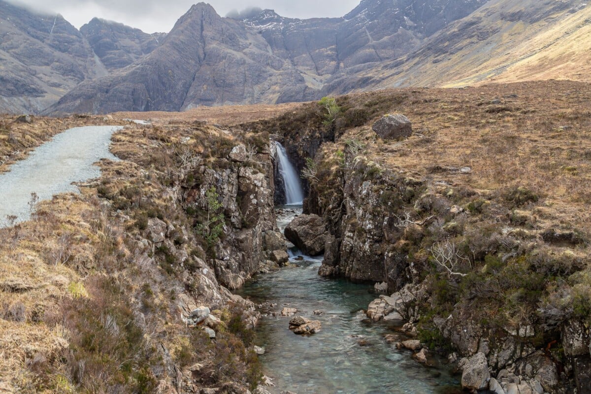
The popular route follows the approach into Coire Lochain, climbs to the bealach below the Forcan Ridge, then follows the ridge to The Saddle summit. Many walkers return by the same route, which keeps the day straightforward and avoids adding another long descent through unfamiliar ground.
- Leave the A87 on the established track into Coire Lochain. The lower approach is a useful warm-up, but do not let the easy start encourage a late departure.
- Follow the path into the corrie. The route becomes steeper as it climbs towards the bealach below the ridge. Pause here to assess wind strength, visibility and the confidence of everyone in the group.
- Choose your line on the Forcan Ridge carefully. The crest includes exposed rocky steps and scrambling. A bypass path exists for some of the more awkward sections, but it can still be steep, loose and unpleasant in wet or windy conditions.
- Continue to The Saddle summit. The summit has wide views on a clear day, but navigation becomes the priority in cloud. Take a bearing before leaving and avoid wandering towards steep ground.
- Return by the planned route. Retrace the ridge and descend through Coire Lochain with enough daylight in hand. A head torch is a backup, not permission to start late.
Walkhighlands publishes a mapped description of The Saddle and Forcan Ridge route, including route notes and mapping. Treat any online description as a planning aid. Paths shift, erosion changes the feel of a slope and a line that is obvious in a photo can be far less clear when cloud sits on the ridge.
How Difficult Is the Forcan Ridge?
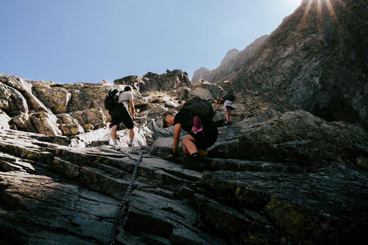
The Forcan Ridge is the part of the day that gives The Saddle its reputation. It involves hands-on scrambling over rock, narrow-feeling sections and exposure above steep slopes. The technical moves are modest for experienced scramblers in dry, calm weather, but the setting raises the stakes.
Wet rock, strong wind and poor visibility can turn an enjoyable ridge into unsuitable terrain. A bypass line may avoid some direct scrambling, yet it does not make the mountain a gentle hillwalk. It can be eroded, loose underfoot and hard to follow if mist rolls in.
Save this route for a day when every person in the group is comfortable with exposure. If someone freezes on a ridge, forcing the situation usually makes it worse. Turning around below the difficulties is sound mountain judgement, and there will be other days.
Can Beginners Hike The Saddle?
The Saddle is better tackled after building experience on steep, rough Highland paths and easier scrambles. Strong fitness helps, though it does not replace the ability to use a map and compass, recognise worsening conditions or make calm decisions near exposed ground.
For a first Highland summit, choose a well-defined route with less exposure and take time to practise navigation. A qualified local mountain leader can also offer guided days and skills training for walkers who want to progress to ridges such as Forcan.
Weather, Snow and Mountain Safety
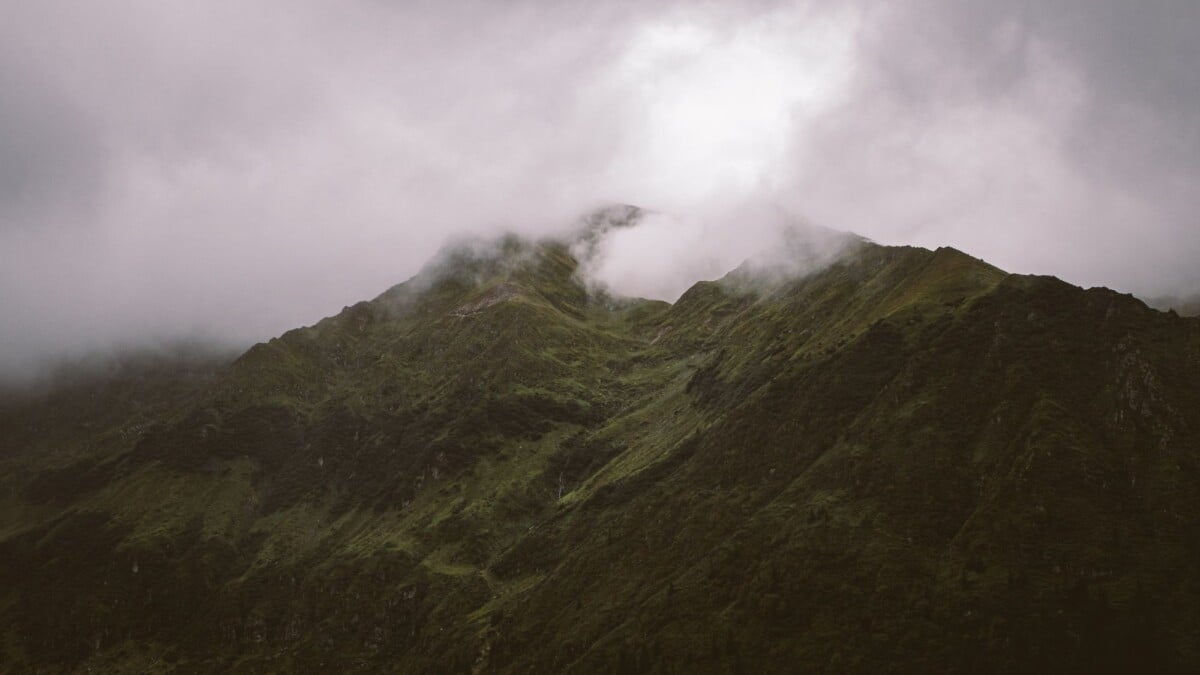
Check the Met Office mountain forecast for the Northwest Highlands on the evening before and again on the morning of the walk. Pay attention to summit wind, cloud base, rainfall, temperature and the forecast trend through the day. Glen Shiel can feel calm while the ridge is taking a proper battering.
In snow and ice, The Saddle becomes a winter mountaineering objective. Cornices, hard neve, avalanche terrain and whiteout navigation require winter skills, suitable equipment and sound judgement. Consult the relevant daily report from the Scottish Avalanche Information Service before entering the hills, and change plans if the forecast does not support the route.
Tell someone your route, parking location and expected finish time. Carry enough warm layers, food and water to cope with a longer day, then call 999 or 112 and ask for Police and Mountain Rescue if there is a genuine emergency. Do not use Mountain Rescue to solve a transport problem or routine tiredness.
What To Pack for The Saddle
Conditions on The Saddle can be far colder and wetter than the forecast at sea level suggests. A waterproof jacket is basic kit, not an optimistic accessory clipped to the outside of a rucksack.
- Waterproof jacket and trousers with a warm mid-layer, hat and gloves
- Sturdy hiking boots with grip and ankle support suited to wet, rocky terrain
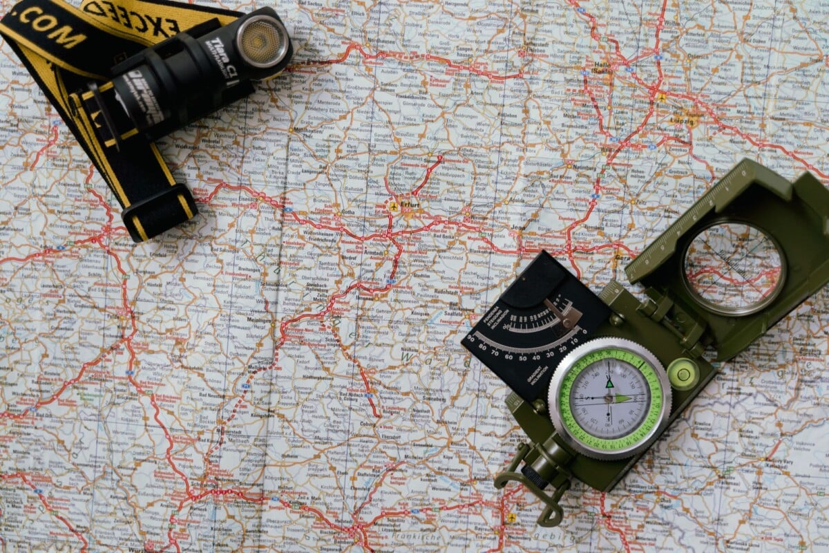
- Paper OS map, compass and the knowledge to use both
- Charged phone, offline map download, power bank and head torch
- Food, water, an emergency snack and a personal first-aid kit
- Emergency shelter or bivvy bag for a delayed descent
- Sunglasses and sunscreen for clear days, plus insect repellent in midge season
A waterproof map case is a small piece of kit that earns its place on Highland routes, where a damp folded map quickly becomes more decorative than useful.

We earn a commission if you buy through this link, at no extra cost to you.
Before setting off, read the Scottish Outdoor Access Code. It covers responsible access, parking, dogs, gates, farming activity and how to leave the ground in good order. Take all rubbish home, including fruit peel and the little wrappers that have a habit of escaping pockets in a gale.
When Is the Best Time To Hike The Saddle?
Late spring to early autumn gives the best chance of snow-free ground and longer daylight, but it does not guarantee stable weather. May and June can bring long evenings and drier spells, while July and August are often busier and bring midges in still, damp conditions.
September can offer quieter trails and autumn colour, though daylight shortens quickly and Atlantic weather systems can make several days of rain entirely possible. October through April needs a careful check of daylight, snow level and wind. Full winter conditions can arrive well outside the calendar winter period.
Pick the day based on the mountain forecast, not a fixed itinerary. The Five Sisters of Kintail, Glen Affric walks and a slower day around Shiel Bridge are good fallback ideas when The Saddle is in cloud or high wind.
Route Choices and Common Planning Mistakes
The out-and-back route via Forcan Ridge is the clearest choice for most competent summer walkers. Strong, experienced parties sometimes extend the day to include nearby Munros, such as Sgurr na Sgine, but that creates a longer and more complex undertaking with more navigation and a potentially awkward return.
- Starting too late: leave enough time for the ridge, descent and unexpected delays before dark.
- Using a road forecast: consult a mountain forecast that gives summit wind and cloud information.
- Following a phone line blindly: batteries fail, screens are hard to read in rain and route tracks do not assess hazards for you.
- Underestimating the bypass: an easier line around a scrambling obstacle can still be steep and exposed.
- Parking carelessly: roadside space is tight and emergency or estate access must remain open.
- Pressing on in cloud: route-finding around crags and steep ground is far harder when landmarks disappear.
If the mountain forecast is poor, use the day to explore at a lower level and keep The Saddle for safer conditions. Kintail will still be there after a coffee and a slice of cake in Shiel Bridge. That is one of the more dependable Highland forecasts.
Where To Stay Near The Saddle
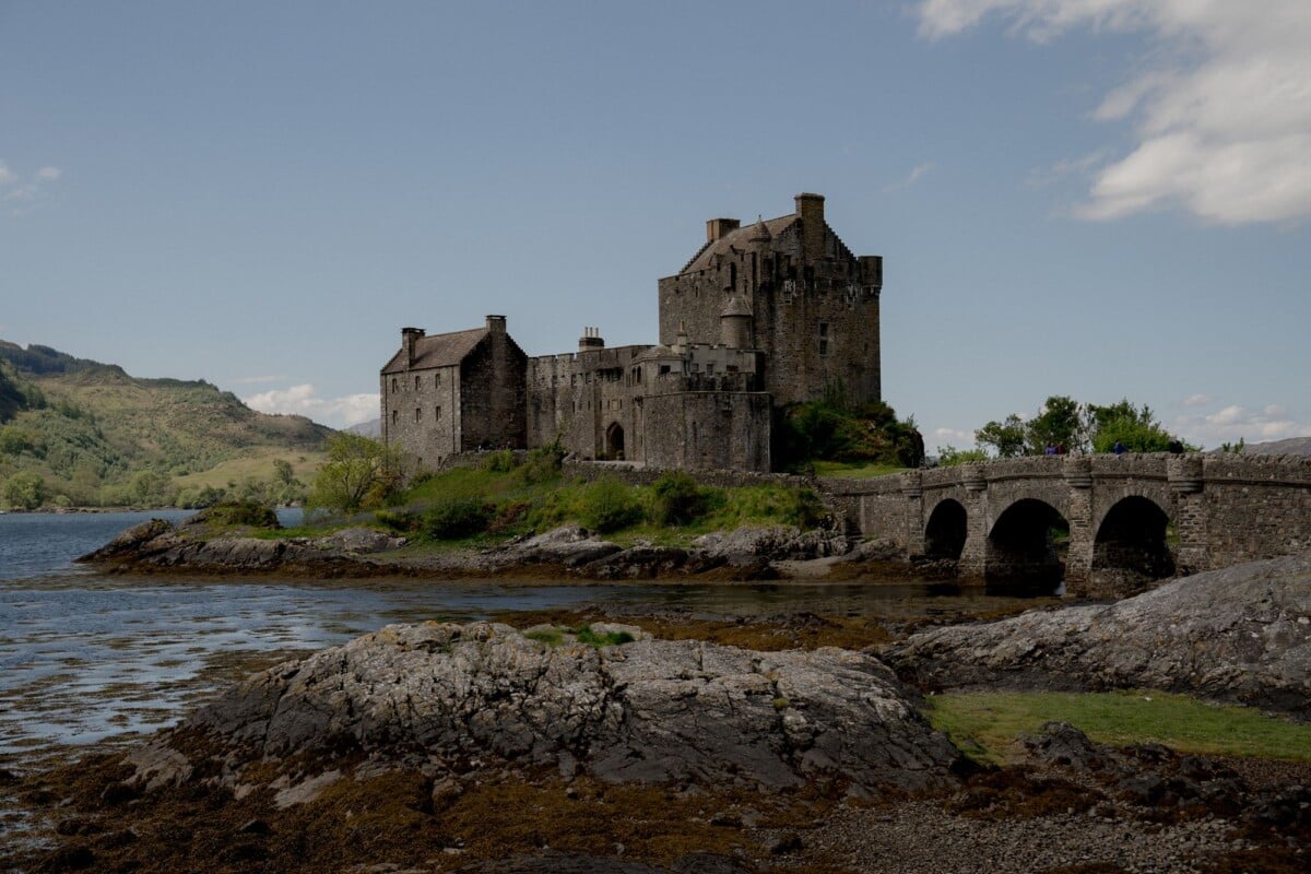
Shiel Bridge is the most convenient base for an early start, while Kyle of Lochalsh offers more services and places to eat. The Cluanie area places you closer to the eastern side of Glen Shiel, though accommodation is limited and should be booked ahead during summer.
A base near Loch Duich can also suit couples or families combining a mountain day with Eilean Donan Castle, Skye or the wider west coast. Keep the drive short before a long hill day where possible. An alarm at 5am feels less heroic after a wet descent and a couple of hours behind the wheel.
Frequently Asked Questions
How Long Does It Take To Hike The Saddle?
Most capable summer walkers should allow six to eight hours for The Saddle via Coire Lochain and the Forcan Ridge. Time varies greatly with weather, group pace, time spent navigating and confidence on the exposed sections.
Is There a Car Park for The Saddle?
The standard route uses limited roadside parking on the A87 near the Coire Lochain approach. Check a current OS map and park only where your vehicle is fully clear of the road, gates and passing places.
Do You Need Ropes for the Forcan Ridge?
Most experienced summer hillwalkers tackle the Forcan Ridge without ropes, but it involves exposed scrambling and is unsuitable for anyone who is uncomfortable on steep rock. In wet, icy or very windy conditions, reconsider the route entirely.
Can You Walk The Saddle in Winter?
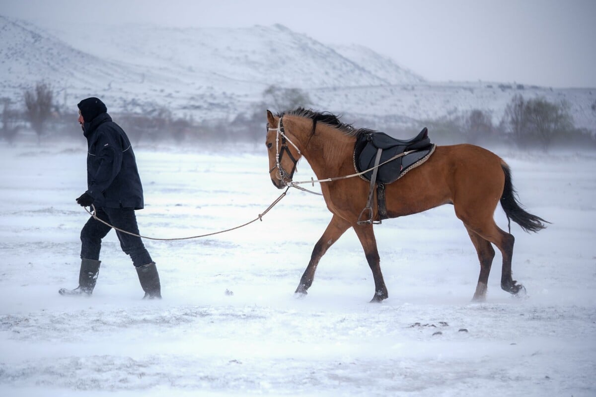
The Saddle can be climbed in winter by mountaineers with the appropriate equipment, avalanche awareness and winter navigation skills. Snow and ice transform the ridge and corrie approaches, so check the SAIS report and mountain forecast before deciding.
Is There Mobile Signal on The Saddle?
Mobile coverage around Glen Shiel and on the mountain is unreliable. Download maps before leaving, carry a paper map and compass, and tell someone your route and expected return time.