
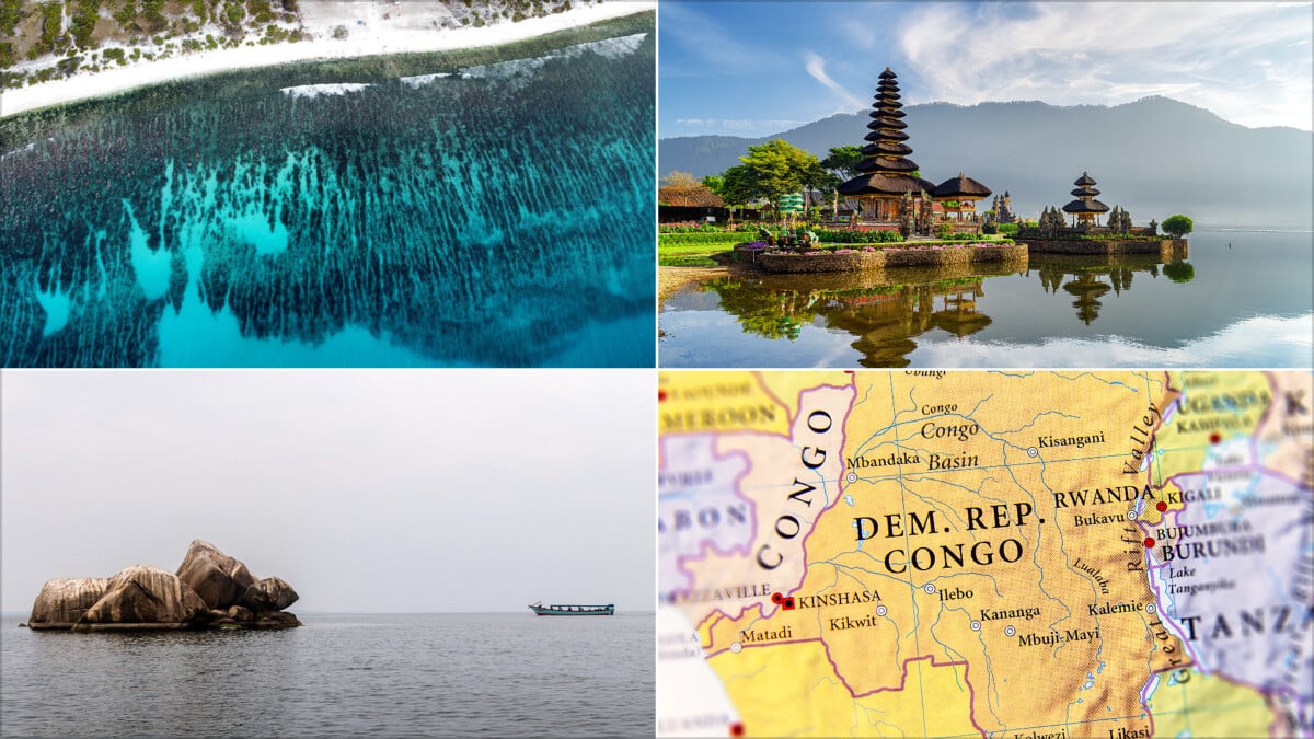
Thirteen countries lie on or are crossed by the Equator, the 0° line of latitude that divides Earth into the Northern and Southern Hemispheres. They include three countries in South America, seven in Africa, Indonesia, and the island nations of Maldives and Kiribati.
Equatorial countries are often associated with steamy rainforest, near-equal daylight and tropical coastlines. That picture is broadly right, but altitude, ocean currents, mountains and seasonal rainfall make the region far more varied than the postcard version. Anyone comparing the world’s hottest countries soon finds that latitude is only part of the story.
These facts about equatorial countries explain where the line goes, what daily conditions are like, and which places give geography-minded trip planners a memorable way to stand near the middle of the planet.
What Is the Equator?
The Equator is an imaginary circle around Earth at 0° latitude. It is equally distant from the geographic North and South Poles and provides the starting line for measuring latitude north and south.
Its length is about 40,075 kilometres, yet most of that route is ocean. Roughly 78.7% of the line crosses water, including the Atlantic, Indian and Pacific oceans, before passing through forests, lakes, islands and mainland territory.
Because the Equator sits near the part of Earth receiving the most direct sunlight across the year, places close to it tend to have consistently warm temperatures. Day length also changes much less than it does in London, Toronto or Melbourne. Sunrise and sunset do not wander dramatically through the calendar here, which is handy for routines and slightly less handy if you enjoy making a fuss over summer evenings.
Full List of Countries on the Equator
The commonly used list contains 13 countries. In 11 of them, the Equator crosses land; in Maldives and Kiribati, it crosses national territory in the ocean rather than a major inhabited landmass. That distinction explains why some maps and geography references count 11 land-crossed countries while broader lists count 13.
| Region | Countries Associated With the Equator | Useful Geographic Context |
|---|---|---|
| South America | Ecuador, Colombia, Brazil | The line crosses Ecuador and southern Colombia before continuing through northern Brazil. |
| Africa | São Tomé and Príncipe, Gabon, Republic of the Congo, Democratic Republic of the Congo, Uganda, Kenya, Somalia | Africa has the largest share, including Atlantic islands, the Congo Basin and the Lake Victoria region. |
| Asia and the Pacific | Maldives, Indonesia, Kiribati | The route crosses island and maritime territory in the Indian and Pacific oceans and several Indonesian islands. |
Africa has seven equatorial countries, more than any other continent. The line crosses a remarkably broad range of landscapes there, including Gabon’s Atlantic-facing forests, the Congo Basin, Lake Victoria and Kenya’s highlands.
Ecuador Was Named for the Equator
Ecuador is the country most visibly connected to the line by name. Its name comes from the Spanish word for equator, and the República del Ecuador translates as “Republic of the Equator.”
Near Quito, the Mitad del Mundo monument is the best-known place for marking the idea of standing at the middle of the world. It is a useful stop for families and first-time geography fans, but it is also a reminder that a monument and the precise geodetic line do not always occupy exactly the same spot. The Equator is a scientific reference line, not a painted stripe that politely follows a car park.
Ecuador also demonstrates why latitude alone does not dictate temperature. Quito sits high in the Andes, so its climate is far cooler than lowland equatorial rainforest. Farther east, the Ecuadorian Amazon offers the hot, wet conditions many people associate with this latitude, while the Pacific coast and the Galápagos Islands add completely different environments.
Snow Exists on the Equator
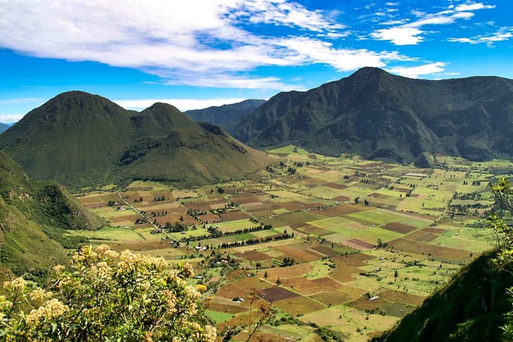
The Equator is warm, but elevation can overpower latitude. Ecuador’s Volcán Cayambe reaches 5,790 metres, and the Equator crosses its southern slopes at roughly 4,690 metres. Permanent ice and snow have historically occurred there, making Cayambe the best-known place where the Equator meets glaciated high mountain terrain.
That makes Cayambe one of the best corrections to the idea that every equatorial country feels uniformly hot and humid. In Ecuador, Uganda and Kenya, highland areas can feel substantially cooler than nearby lowlands. Anyone packing for an Andean itinerary should treat altitude as seriously as latitude.
The Congo Basin Is an Equatorial Powerhouse
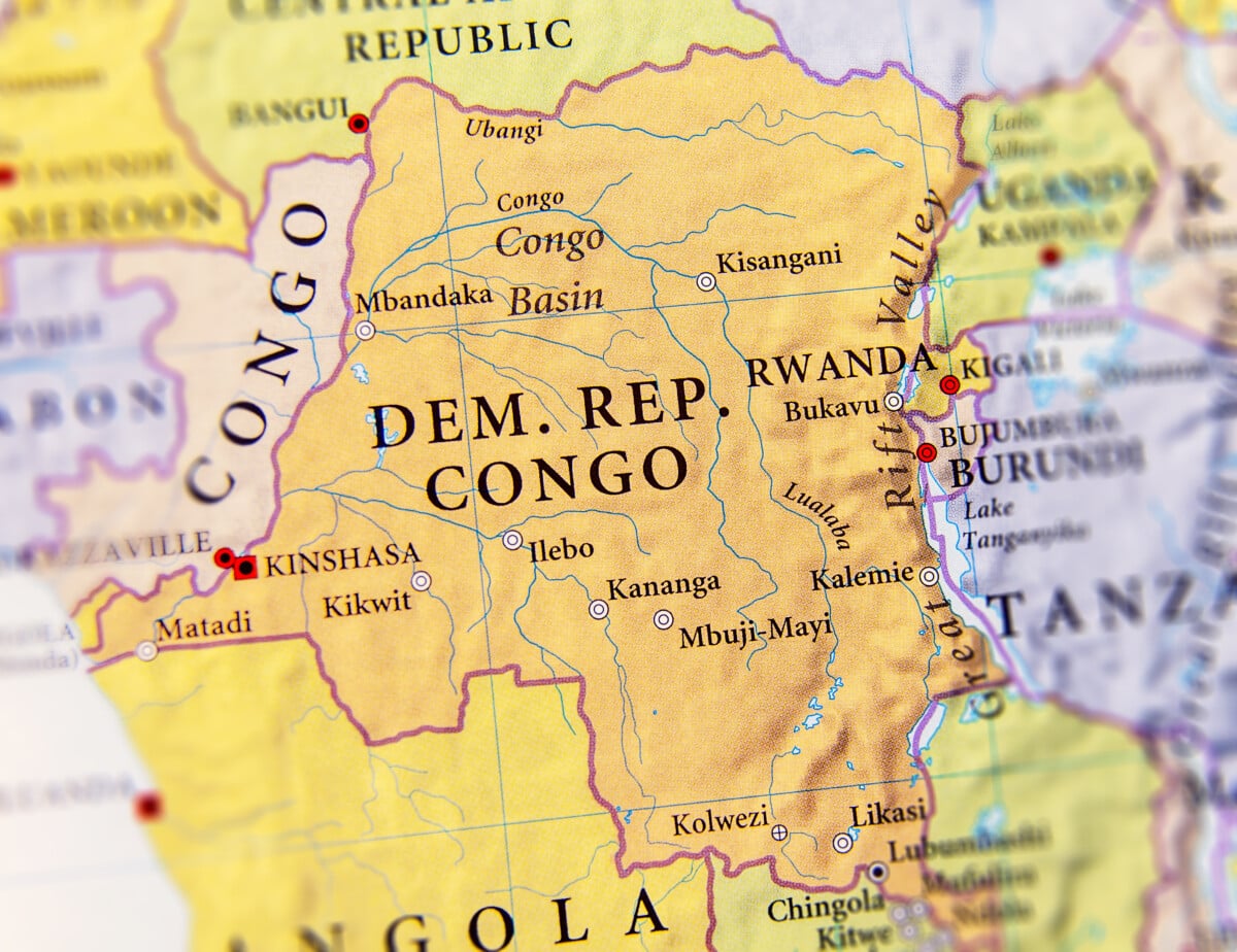
The Equator crosses Gabon, the Republic of the Congo and the Democratic Republic of the Congo, placing a large part of the Congo Basin in the equatorial zone. This is one of the world’s great rainforest regions, defined by huge river systems and dense tropical forest rather than a single, identical landscape.
The Democratic Republic of the Congo is especially notable geographically: the Equator divides its northern third from its southern two-thirds. The Congo River basin makes the country central to any conversation about equatorial Africa, even though reaching its remote rainforest areas is not a casual add-on to a city break.
Gabon has another unusual footnote. Scientists identified evidence of a natural nuclear fission reactor in uranium ore at Oklo in 1972. The Oklo site is a geological curiosity, not a standard tourist stop, but it shows how quickly an article about latitude can veer into nuclear physics.
Lake Victoria Is Crossed by the Equator
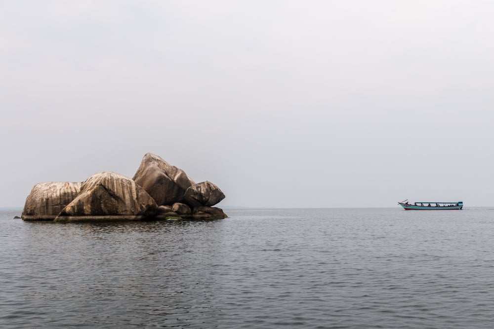
The Equator runs through Lake Victoria, the immense freshwater lake shared by Uganda, Kenya and Tanzania. It also crosses Uganda and Kenya on land, making both countries popular reference points for people wanting a physical Equator stop during an East African journey.
Uganda’s equatorial location does not make the whole country flat or uniformly tropical. The country’s lakes, highlands and varied elevation produce regional differences in weather. Kenya offers the same useful lesson: equatorial latitude and high-altitude landscapes coexist, particularly away from the hot coastal lowlands.
For trip planning, use the Equator as a geographic bonus rather than the sole reason to choose an itinerary. It fits naturally into routes built around Kampala and western Uganda, or through Kenya’s central regions, but road time and seasonal rain deserve more attention than a photo beside a latitude marker.
Indonesia Crosses the Equator More Than Once
Indonesia is the largest and most geographically fragmented country on the list. The Equator crosses several parts of the archipelago, including Sumatra, Borneo, Sulawesi and Halmahera, along with the waters between them.
This is why “Indonesia is on the Equator” is technically true but not especially descriptive. The country spans thousands of islands and a wide east-west distance, so conditions, cultures and transport options vary sharply between regions. A route through Pontianak in West Kalimantan offers a straightforward equatorial reference point, while island-to-island travel can require far more planning than a map first suggests.
Indonesia is also home to Rafflesia arnoldii, widely recognized as the world’s largest individual flower. Its bloom is found in parts of Sumatra and Borneo, although seeing one in flower is never something to schedule with confidence. Nature does not run on a tidy museum timetable.
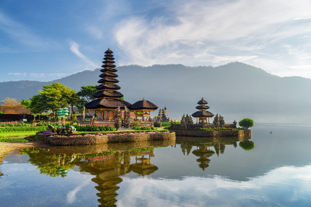
Kiribati Greets the New Year First
Kiribati is spread across 33 islands in the central Pacific, with land scattered across an enormous ocean area. Its total land area is small, but its islands extend across a very wide distance.
The country’s Line Islands include Kiritimati, which uses UTC+14. That places Kiritimati among the first inhabited places to welcome a new calendar year. Kiribati is also often described as the only country with territory in all four hemispheres, thanks to islands on both sides of the Equator and the 180th meridian.
This is a good reminder that the Equator and the International Date Line solve different problems. One divides north from south; the other helps organize dates. On a globe, they look like simple lines. In real life, they produce some wonderfully odd geography.
Equatorial Climate Is Not One Climate
Many places near 0° latitude have tropical rainforest or monsoon conditions, with warm temperatures and substantial rain. Some receive roughly 2,500 to 3,500 millimetres of rain in a year, although rainfall varies dramatically by country, coast, mountain range and season. The countries on this line regularly feature in discussions of the rainiest countries in the world, although no national average can predict the weather on one particular island, road or mountain slope.
There are usually no four sharply defined seasons in the temperate sense. Rainy and drier periods are often more useful for planning than “summer” and “winter.” Cold ocean currents can also produce drier coastal conditions, while mountains squeeze moisture from passing air and create wet slopes beside much drier ones.
- For rainforest destinations: expect heat, humidity and rain on any itinerary, even during a relatively drier period.
- For highland destinations: bring layers for cool mornings and evenings, especially around Quito and other elevated areas.
- For island destinations: check inter-island transport carefully, since weather and distance can affect routes more than the map suggests.
Frequently Asked Questions About Equatorial Countries
How many countries are on the Equator?
Thirteen countries are commonly included on the Equator list. Eleven have land crossed by the line, while Maldives and Kiribati are included because the Equator passes through their national territory at sea.
Which continent has the most equatorial countries?
Africa has seven: São Tomé and Príncipe, Gabon, the Republic of the Congo, the Democratic Republic of the Congo, Uganda, Kenya and Somalia.
Are all equatorial countries hot?
Most lowland equatorial areas are warm throughout the year, but they are not uniformly hot. High-elevation places, including Ecuador’s Andes and parts of East Africa, can be distinctly cool.
Does the Equator pass through the Maldives?
Yes. The Equator crosses Maldivian territory in the Indian Ocean, which is why Maldives appears on broader lists of 13 equatorial countries even though the line does not cross a major Maldivian island on land.
Can you stand on the Equator?
Yes. Ecuador’s Mitad del Mundo area near Quito is the most famous Equator-themed stop, and markers are also found in Uganda, Kenya and Indonesia. Exact line positions and monument locations can differ, so treat the experience as a geography stop, not a laboratory measurement.
Why These Countries Are More Than a Map Quiz
The strongest facts about equatorial countries are the ones that complicate the basics. At 0° latitude, you can find high-altitude ice on Volcán Cayambe, a vast freshwater lake at Lake Victoria, rainforest across the Congo Basin, a country named for the line, and a Pacific nation that reaches the New Year before almost everyone else.
That variety is the point. The Equator is one line, but the countries around it contain mountain climates, river basins, coral islands, dense forests, large cities and long stretches of open ocean. Geography gets much more interesting once you stop treating latitude as destiny.