
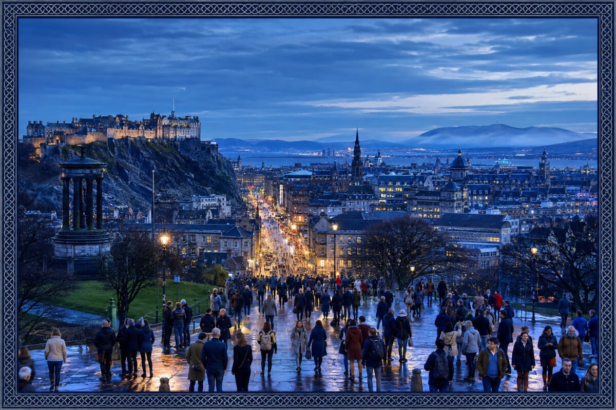
Glasgow City is Scotland’s most densely populated council area, while Na h-Eileanan Siar is the least densely populated. Using 2022 Census population counts and council-area land measurements, Glasgow has roughly 3,600 residents per square kilometre, while the Outer Hebrides has fewer than nine.
For a visual sense of that divide, a Scotland population density map is a useful companion to the figures. It shows why Scotland can feel busy around the Central Belt and remarkably open only a few hours farther north or west.
Population density measures residents divided by land area. It is useful for understanding settlement patterns, but it does not measure overcrowding, affordability, friendliness or quality of life. A low-density council can contain a busy town, and a dense city can contain quiet parks and residential streets.
Scotland’s Most and Least Dense Council Areas Compared
The table ranks the seven council areas most often used to illustrate Scotland’s urban-to-island density range. The figures use rounded 2022 Census populations published by National Records of Scotland and standard council-area land measurements. They are best read as a comparison of whole local-authority areas, not a count of how crowded any individual street or settlement feels.
| Rank in This Comparison | Council Area | Residents per km² | What the Figure Reflects |
|---|---|---|---|
| 1 | Glasgow City | About 3,600 | A small, fully urban council boundary containing Scotland’s largest city. |
| 2 | Dundee City | About 2,470 | A compact city authority on the north bank of the Firth of Tay. |
| 3 | City of Edinburgh | About 2,000 | A city council area with extensive built-up neighbourhoods as well as open land at its edges. |
| 4 | Orkney Islands | About 22.3 | A dispersed archipelago with population concentrated on a limited number of inhabited islands. |
| 5 | Shetland Islands | About 15.7 | A large island authority with settlements spread across Shetland’s inhabited islands. |
| 6 | Highland | About 9.2 | Scotland’s largest council area by land, including mountains, glens, coastline and scattered towns. |
| 7 | Na h-Eileanan Siar | About 8.5 | The Outer Hebrides council area, where people are distributed across a long chain of islands. |
National Records of Scotland’s 2022 Census figures place Na h-Eileanan Siar below Highland in population density. The gap is small, but both sit at the opposite end of the scale from Glasgow, Dundee and Edinburgh.
Why Glasgow City Has Scotland’s Highest Density
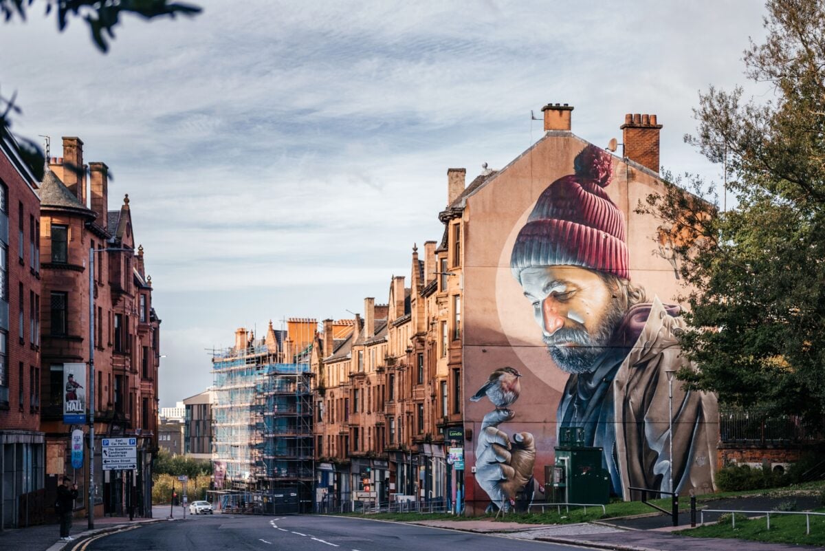
Glasgow City’s density is driven as much by its boundary as by its population. The council area covers a compact urban footprint, with housing, workplaces, universities, transport corridors and major public spaces closely arranged within the city limits. There is little of the large-scale uninhabited land that pulls down a rural authority’s average.
That figure should not be used as shorthand for cramped living conditions. Density is an average across the council area, and Glasgow includes substantial green space, including Glasgow Green, Kelvingrove Park and the grounds around Pollok Country Park. It is a measure of people per unit of land, not a housing inspection report.
Glasgow’s place at the top also fits Scotland’s wider settlement pattern. National Records of Scotland’s census material shows that much of the national population is concentrated in and around the Central Belt, the broad urban corridor between Glasgow and Edinburgh.
Dundee and Edinburgh: Dense Cities With Different Boundaries

Dundee City ranks ahead of the City of Edinburgh in this comparison because Dundee’s council area is particularly compact. Its built-up core runs along the Firth of Tay, and the local-authority boundary contains relatively little remote or sparsely settled territory.
Edinburgh has a much larger population, but its council area includes more land beyond the dense historic centre and inner neighbourhoods. The city’s density is still high by Scottish standards, yet the calculation covers places with very different settlement patterns, including coastal districts, suburban areas and open ground around the city edge.
For a trip, these council-wide numbers are less useful than the shape of each city. Edinburgh’s Old Town and New Town feel intensely urban, while Dundee’s waterfront and compact centre make it easy to cover a great deal on foot. Neither experience can be reduced to one average figure.
Why Highland’s Density Is So Low

Highland has a population density of about 9.2 residents per square kilometre, despite containing major Scottish centres including Inverness, Fort William, Aviemore and Wick. The authority covers an exceptionally large area, including the Cairngorms, long stretches of Atlantic and North Sea coast, and vast tracts of upland terrain where settlement is limited.
This is why a council-area average needs context. Inverness can feel like a lively regional city, particularly around the River Ness and railway station, while parts of Sutherland, Wester Ross and Lochaber can involve long drives between villages. Both realities sit inside the same Highland statistic.
People planning routes through this enormous authority should use a Scottish Highlands travel guide alongside a map and timetable, not assume that nearby-looking points are quick to reach. The geography that lowers the density also makes travel times less forgiving than straight-line distances suggest.
Na h-Eileanan Siar, Orkney and Shetland
Na h-Eileanan Siar, also known as the Outer Hebrides, has Scotland’s lowest council-area density at about 8.5 residents per square kilometre. Its population is spread across a long Atlantic island chain, with Lewis and Harris, North Uist, Benbecula, South Uist and Barra among the best-known inhabited islands.
Orkney and Shetland are also lightly populated, though their overall densities are higher than Highland and Na h-Eileanan Siar. Their figures include land across many islands, much of it rural, alongside the principal towns of Kirkwall in Orkney and Lerwick in Shetland. Ferry routes, weather and the distribution of services shape everyday life more directly here than a single density number can.
Island density can look surprisingly low even when a settlement feels sociable and active. A small town, harbour or ferry terminal may be the local hub, while the council boundary includes broad areas of moorland, coast and islands with few or no permanent residents. For ideas beyond the main towns, see the best Scottish islands to visit and Skaw, Shetland’s wild northernmost settlement.
How To Read Scotland’s Population Density Figures
- Check the boundary first. Glasgow City and Dundee City are compact council areas, while Highland includes an immense rural territory.
- Do not confuse density with population. Edinburgh can have more residents than Dundee while recording a lower average density because its council area is larger.
- Do not confuse density with overcrowding. Overcrowding concerns how many people live in a home relative to its rooms or household needs, which is a separate housing measure.
- Use local detail for trip planning. Settlement size, road links, ferries and service availability will usually matter more than the council-wide average.
Where Most People in Scotland Live
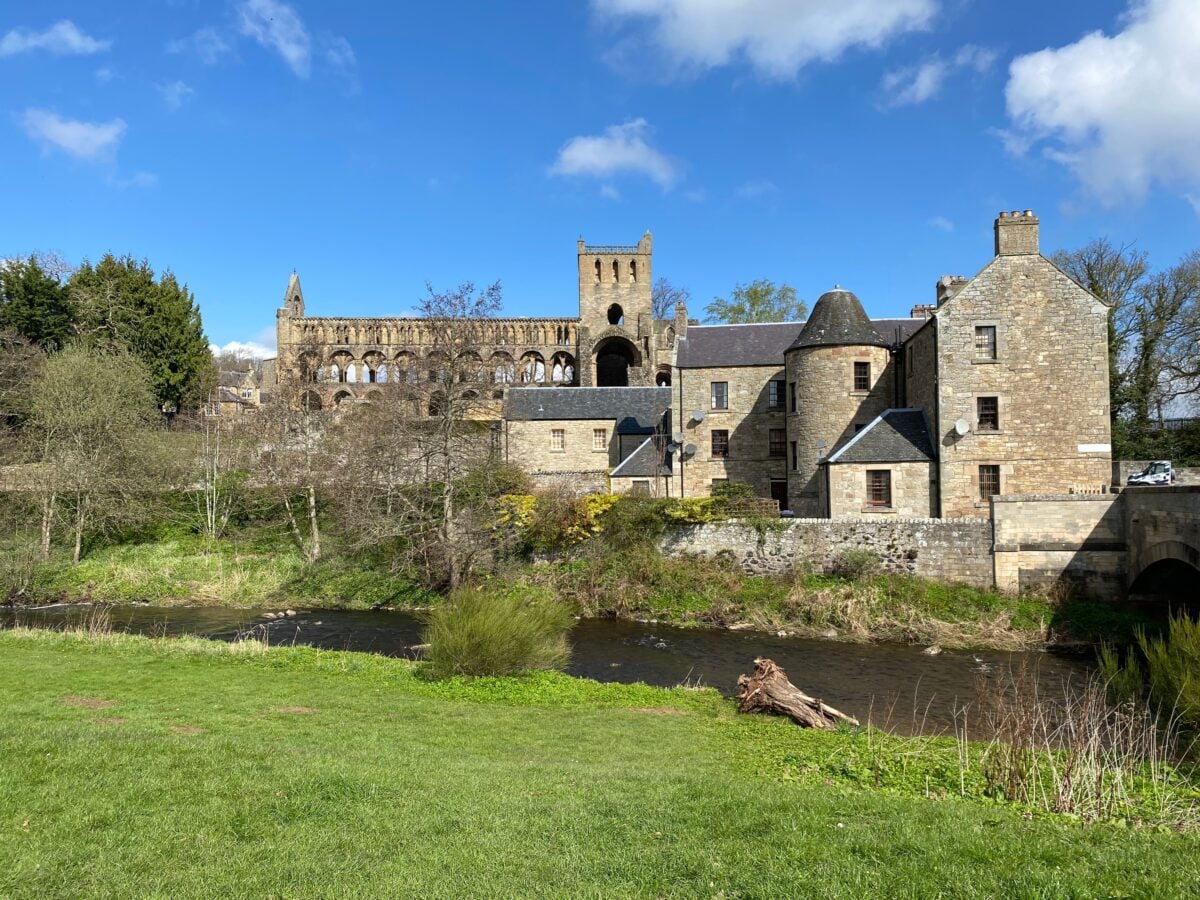
Scotland’s population is concentrated in the Central Belt, particularly around Glasgow and Edinburgh, with other important population centres including Dundee, Aberdeen, Inverness and Ayr. The Highlands and Islands occupy a large share of Scotland’s land area but contain far fewer people per square kilometre.
That pattern has practical consequences for transport and public services, yet it should not be turned into a simple urban-versus-rural scorecard. City councils handle the pressures of concentrated demand, while island and remote rural councils manage distance, weather and the cost of reaching scattered communities. Population patterns are also shifting, as shown by the parts of Scotland that are growing and shrinking.
Frequently Asked Questions
What Is the Most Densely Populated Part of Scotland?
Glasgow City is Scotland’s most densely populated council area, with roughly 3,600 residents per square kilometre based on 2022 Census population data and council-area land measurements. Its compact, predominantly urban boundary is a major reason for the high figure.
What Is the Least Densely Populated Part of Scotland?
Na h-Eileanan Siar is Scotland’s least densely populated council area, at about 8.5 residents per square kilometre. Highland is close behind at about 9.2 residents per square kilometre.
Is Highland the Least Populated Council Area in Scotland?
No. Highland has one of Scotland’s lowest population densities, but Na h-Eileanan Siar has a lower density. Highland’s very large land area is central to its low average.
Does a Low Population Density Mean an Area Is Empty?
No. Low density means few residents spread across a large area. Highland, Orkney, Shetland and the Outer Hebrides all have established towns, villages and island communities, even though much of their land area is lightly settled.
Where Can I Find Official Scotland Population Data?
National Records of Scotland publishes Scotland’s Census results and supporting population information. The 2022 Census remains the most complete benchmark for comparing population across Scotland’s council areas.