
Plan Mojave National Preserve around road access rather than trying to tick off a fixed list of sights. Kelso Dunes, Kelso Depot, Zzyzx and Cima Dome can suit a standard car when roads are dry and suitable, while Hole-in-the-Wall and Mojave Road need more preparation and, in places, a high-clearance four-wheel-drive vehicle.
The preserve covers a vast stretch of California desert between Las Vegas and Los Angeles. Driving times are long, there is no fuel inside the preserve, and a route that looks modest on the map can take most of the day once unpaved roads and stops are factored in. Check the National Park Service road and weather conditions immediately before you leave pavement. If you are building a wider park trip and prefer places with fewer crowds, our guide to America’s most underrated national parks is a useful starting point.
Mojave National Preserve Sights Compared
The times below are realistic allowances for a dry-day visit. They include time to park, look around and complete the listed walk, but not the drive between sights. Road conditions can change quickly after rain, and some routes may still be impassable after the forecast has cleared.
| Sight | Typical Access | Walking Distance | Allow | Best For |
|---|---|---|---|---|
| Kelso Depot | Paved roads | Minimal | 20 to 40 minutes | History, a quick stop and route orientation |
| Kelso Dunes | Paved approach and a dirt access road | About 3 miles return to the summit | 2 to 3 hours | A demanding dune walk and broad desert views |
| Teutonia Peak Trail | Cima Road and local access road | About 3 miles return | 1.5 to 2.5 hours | Joshua tree woodland and a proper hike |
| Cima Dome | Roadside viewpoints along Cima Road | Optional short walks | 30 to 60 minutes | Scenic driving and Joshua trees |
| Hole-in-the-Wall Rings Loop | Graded dirt road to campground area | About 1.5 miles loop | 1 to 1.5 hours | Rock scrambling and a shorter trail |
| Zzyzx Desert Studies Center area | Short dirt road from I-15 | Minimal | 30 to 60 minutes | A brief stop near the interstate |
| Mojave Road | High-clearance 4WD route | Variable | 1 to 3 days | Experienced off-road travel |
Do not take a dirt-road label as a promise of easy access. Grading, washouts, deep sand and flash-flood damage can change a drive considerably. Download offline maps, carry a paper map as backup and tell someone your intended route.
Easy Stops for Standard Cars
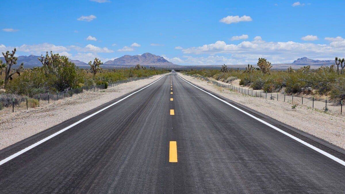
If you have one day, a normal rental car and no interest in complicated desert driving, stick to the preserve’s paved corridors and short approach roads. You will get a solid feel for the Mojave without spending the day wondering whether the car will still have all its tyres by teatime.
Kelso Depot
Allow 20 to 40 minutes at Kelso Depot. This restored railway depot sits beside the Union Pacific line and is one of the preserve’s most recognisable buildings. It is a handy stop for understanding the area’s railway history and breaking up a drive on Kelbaker Road.
Facilities and building access can change, so check the National Park Service’s current visitor information before relying on water, exhibits or services here. The depot is still worth a look from outside when interior access is limited.
Zzyzx and Lake Tuendae
Allow 30 to 60 minutes for Zzyzx. The Zzyzx Road exit is close to Interstate 15, making it one of the most practical Mojave National Preserve sights for travellers driving between Las Vegas and Southern California. The road leads to the Desert Studies Center and Lake Tuendae, an artificial lake created during the site’s former resort era.
Access follows a dirt road across Soda Dry Lake. It is commonly manageable in dry conditions, but never drive onto the lakebed and do not assume the road is safe after rain. Check conditions and follow all posted restrictions at the research site.
Cima Dome and the Joshua Tree Forest
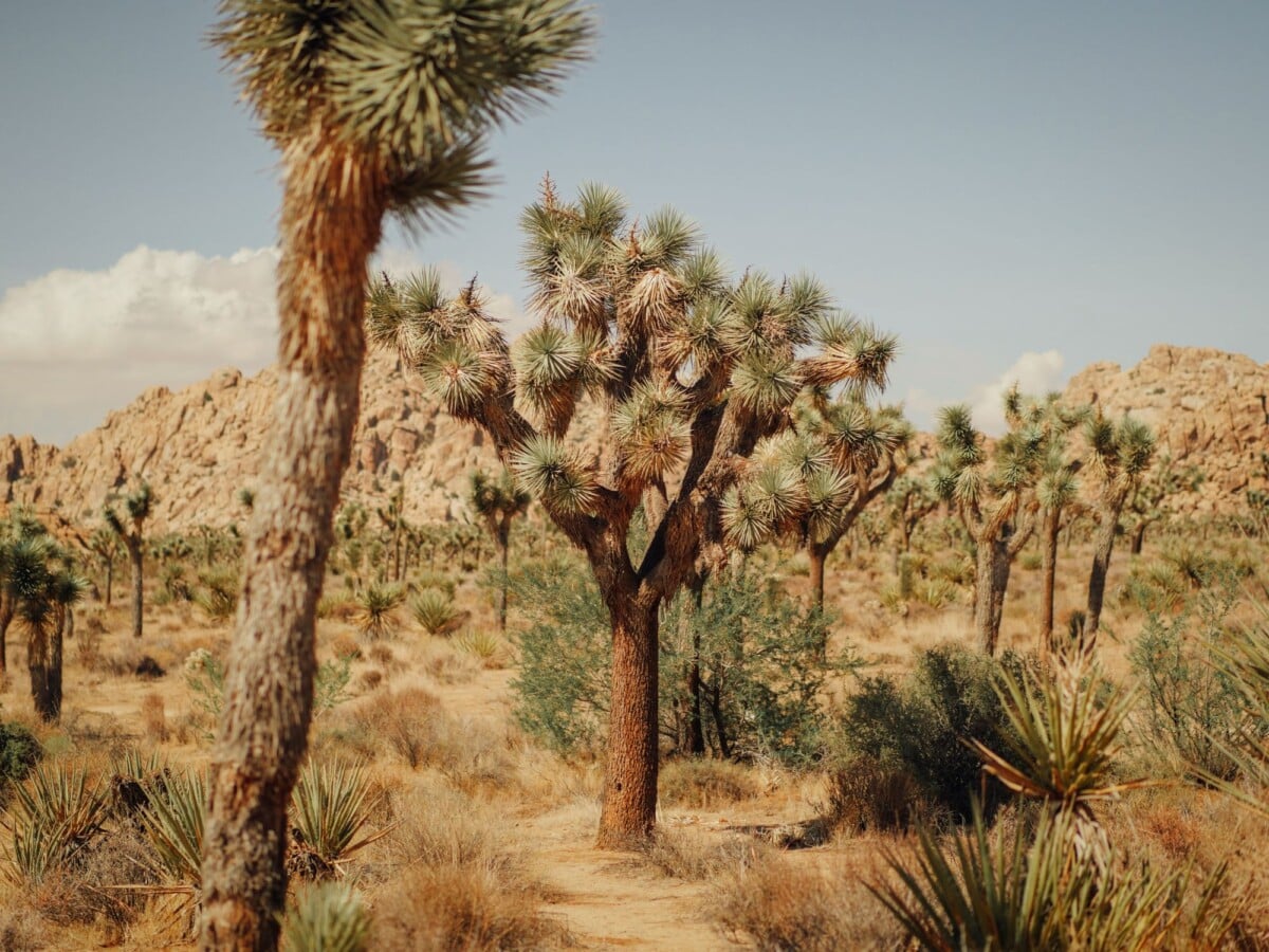
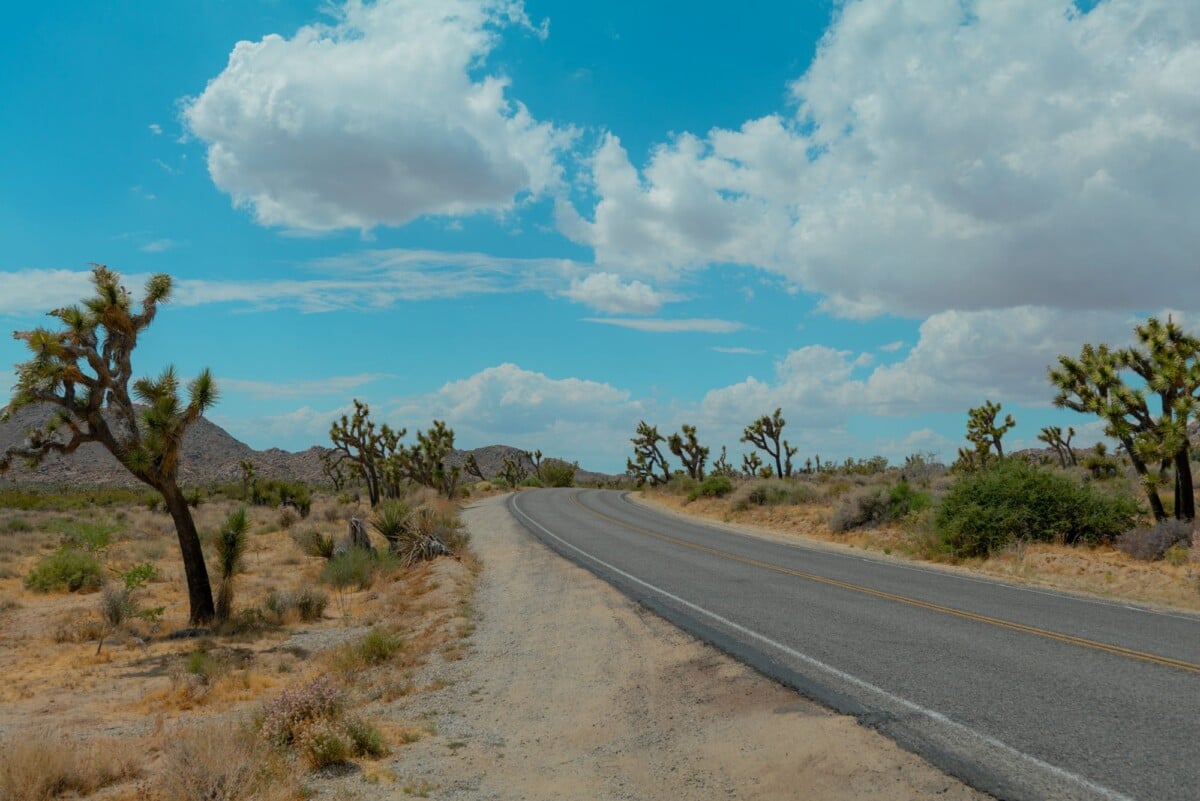
Allow 30 to 60 minutes for roadside stops around Cima Dome. Cima Road passes through one of the preserve’s notable Joshua tree landscapes, with broad views across a high-desert dome. This is more about the drive and the sheer scale of the landscape than one signed attraction.
It pairs well with Teutonia Peak, especially for road-trippers who want a walk without taking on dunes or technical driving. Do not leave established roads: desert vegetation and cryptobiotic soil recover slowly from tyre tracks.

We earn a commission if you buy through this link, at no extra cost to you.
Best Mojave National Preserve Sights for a Half-Day Hike
Kelso Dunes and Teutonia Peak need a similar amount of time, but they are very different outings. Pick Kelso Dunes for an exposed climb on loose sand. Choose Teutonia Peak for a trail through Joshua trees and volcanic terrain.
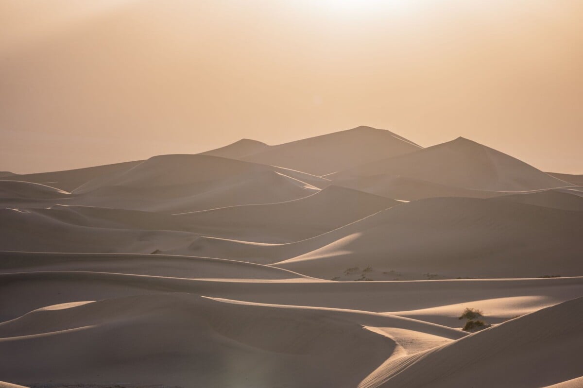
Kelso Dunes
The Kelso Dunes hike is about 3 miles return and usually needs 2 to 3 hours. The National Park Service describes a steep, sandy route to the top of the tallest dune. It takes real effort, because each step in loose sand steals a little of the progress you were sure you had just made.
Go early outside winter, carry more water than you expect to use and wear footwear that can handle hot sand. The route is fully exposed, with no shade. The National Park Service’s Kelso Dunes information has the latest access and safety guidance. For another Southwest hike comparison based on distance, difficulty and time, see our Bryce Canyon hikes guide.
Teutonia Peak Trail
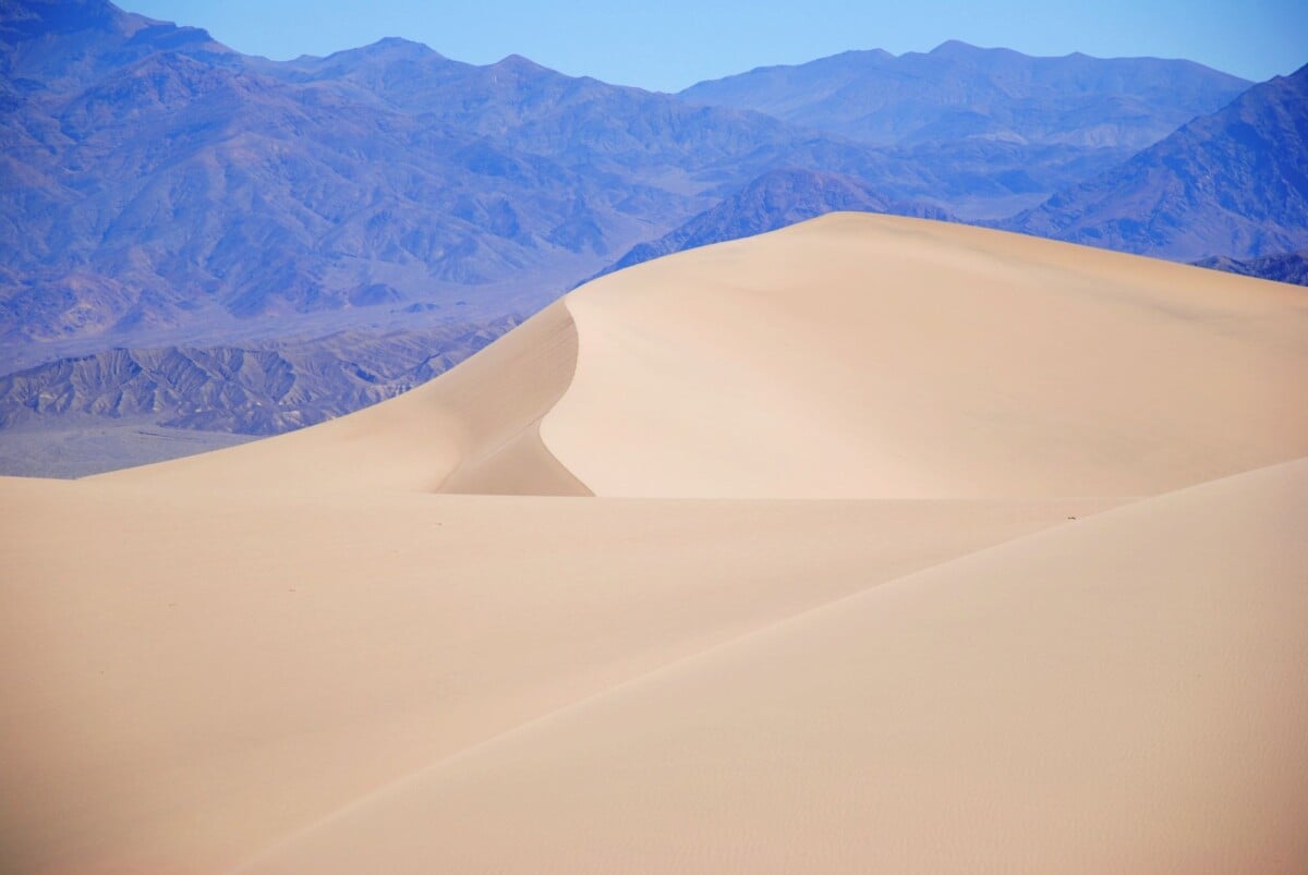
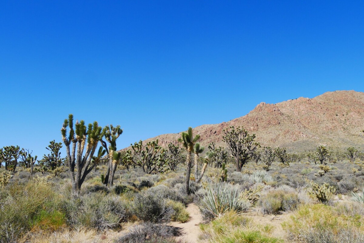
Teutonia Peak is a roughly 3-mile return hike that takes about 1.5 to 2.5 hours. The trail climbs through Joshua tree woodland to a granite summit area, making it a good option for hikers who prefer firmer footing than Kelso Dunes offers.
The National Park Service lists the route as moderately strenuous. It has limited shade, uneven ground and enough climbing for heat to become a serious issue. Read the official Teutonia Peak Trail details before setting out, particularly if recent weather has affected local roads.
For another useful way to compare trail length, exertion and realistic walking time, see our guide to Guadalupe Mountains trails and sights. Desert trails can look straightforward on a distance-only comparison, which is rarely the whole story.
Shorter Trail With Dirt-Road Access: Hole-in-the-Wall
Allow 1 to 1.5 hours for the 1.5-mile Rings Loop Trail. Hole-in-the-Wall is one of the preserve’s better choices for a short, memorable walk. The trail uses metal rings to help hikers through narrow volcanic-rock passages, so it suits confident walkers happy to use their hands for balance.
The access road to the Hole-in-the-Wall campground is unpaved. A high-clearance vehicle is sensible when conditions are rough, and the route may be unsuitable for low-clearance rental cars after storms. The official Rings Loop Trail page explains the trail features and current precautions.
- Wear shoes with grip rather than smooth-soled casual trainers.
- Keep both hands free for the metal rings and narrow rock sections.
- Skip the trail if anyone in your group is uncomfortable with heights, scrambling or confined passages.
- Bring water even for a short loop, as the trail is exposed and desert heat is unforgiving.
Travellers who like a more structured comparison of short and longer walks may also find our Carlsbad Caverns tours and trails comparison useful for another Southwest stop.
Mojave Road: Plan It as an Off-Road Trip
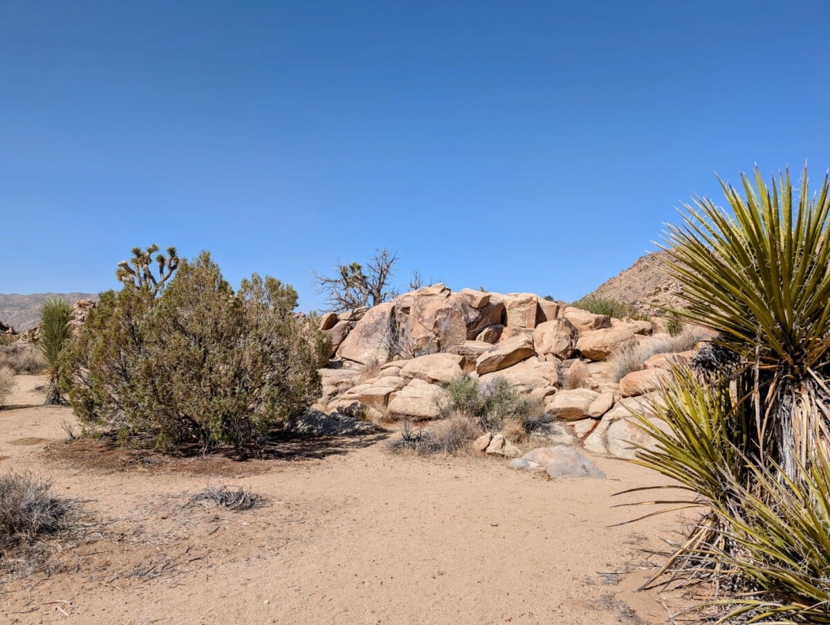
Mojave Road is a historic 138-mile backcountry route, not a scenic detour for an ordinary car. It crosses the preserve east to west and includes sand, rough sections, water crossings and long stretches without services. The National Park Service recommends a high-clearance four-wheel-drive vehicle and careful preparation.
Allow at least a full day only when road conditions are favourable, you have suitable vehicle experience and you are prepared to keep moving. Many drivers take two or three days so they can camp and explore side routes without racing daylight. A recovery plan, full-size spare tyre, extra water, food, navigation and communication equipment are basic kit here.
Read the National Park Service guidance for Mojave Road and confirm current conditions before committing. Do not attempt water crossings after storms simply because another vehicle has made it through. Water depth, surface stability and route conditions all change.

We earn a commission if you buy through this link, at no extra cost to you.
How To Build Your Mojave National Preserve Itinerary
A realistic route keeps stops in the same part of the preserve. The distances between Kelso, Cima, Zzyzx and Hole-in-the-Wall are substantial, and desert driving after dark brings extra risks from wildlife, poor visibility and missed turns.
One Easy Day: Kelso Depot, Kelso Dunes and Zzyzx
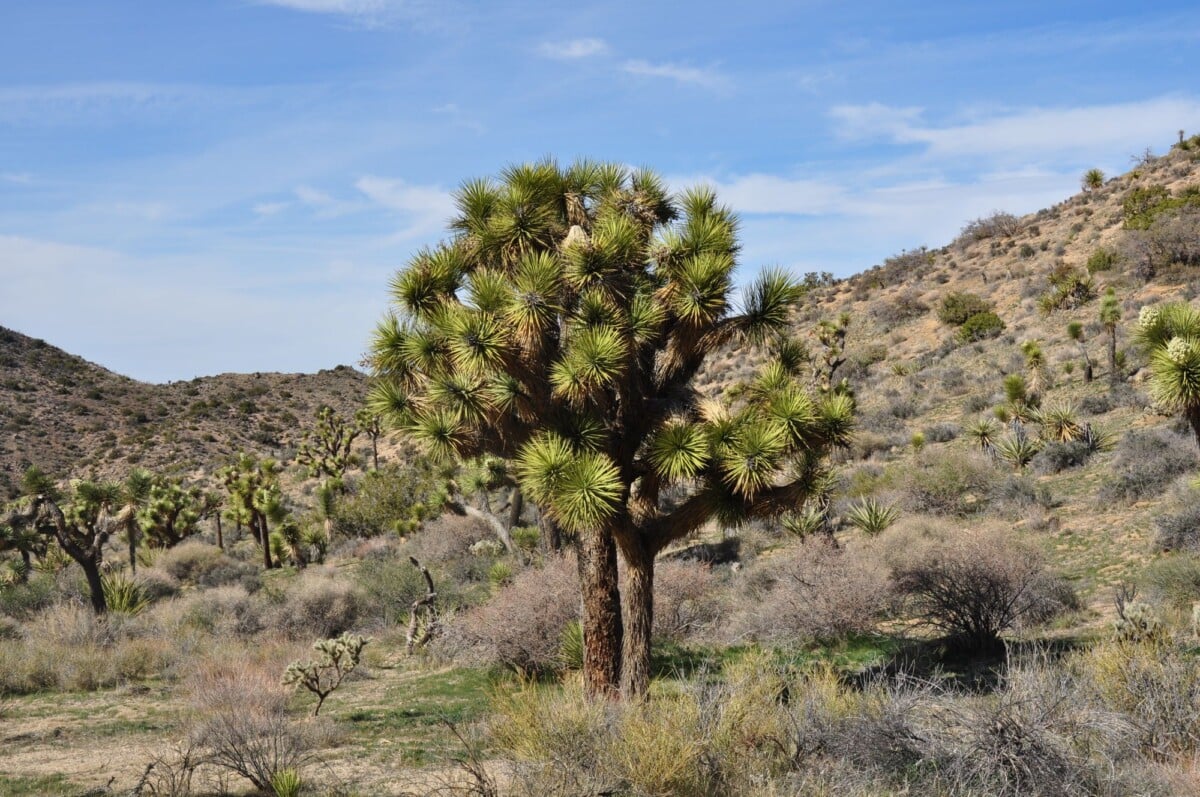
Start early at Kelso Dunes, when temperatures are lower and the climb is more manageable. Add Kelso Depot for a short historical stop, then use Zzyzx as a final break if your onward route follows Interstate 15. This gives you one proper hike and two easy sights without a lengthy detour onto rough roads.
One Hiking-Focused Day: Cima Dome and Teutonia Peak
Drive Cima Road, stop among the Joshua trees and hike Teutonia Peak. This is the better choice for walkers who want a marked trail and varied desert vegetation. Leave spare time for road checks, photo stops and the simple fact that a road atlas has little sympathy for real-world washboard surfaces.
One Backcountry Day: Hole-in-the-Wall
Make Hole-in-the-Wall your centrepiece only when your vehicle and current road conditions support the approach. Pair the Rings Loop with time around the campground and nearby volcanic scenery. Do not add Mojave Road on the same day unless the route itself is your main activity.
Where To Stay Near Mojave National Preserve
There are no hotels inside Mojave National Preserve, and lodging near each access point varies widely. Baker is convenient for Zzyzx and Interstate 15; Needles can suit eastern approaches; Las Vegas works for travellers making a longer day trip. Camping needs advance planning, particularly during cooler months and holiday weekends.
For an early trail start, stay close to the route you will actually drive the next morning. A cheaper room several hours away is rarely a bargain when it turns a cool sunrise hike into a hot afternoon slog.
Road, Water and Heat Safety
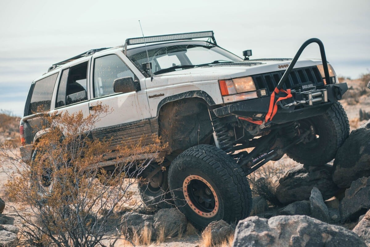
Carry all the water, food and fuel you need before entering the preserve. Services are limited, mobile signal is unreliable and summer temperatures can be dangerous. The National Park Service advises visitors to carry extra drinking water and avoid hiking during the hottest part of the day.
- Fill the fuel tank before entering the preserve and do not depend on a single nearby petrol station.
- Download maps before you lose signal and carry a physical map for backcountry routes.
- Check tyre condition, including the spare, before driving unpaved roads.
- Tell someone where you are going and when you expect to return.
- Stay with your vehicle if it breaks down unless emergency conditions make that unsafe.
- Keep dogs on a leash and protect their paws from hot sand and rock.
Spring and autumn usually mean more comfortable hiking conditions, though wind and sudden temperature drops can still catch day-trippers out. Winter nights can be cold, while summer calls for very early starts and modest plans. For broader seasonal ideas, see our guides to national parks to visit in March, national parks to visit in October and national parks to visit in November.
Frequently Asked Questions
Can You See Mojave National Preserve in One Day?
Yes, but choose one area of the preserve. A one-day visit can cover Kelso Dunes and Kelso Depot, or Cima Dome and Teutonia Peak, but trying to include every major sight creates a long day of driving with little time outside the car.
Do You Need a Four-Wheel-Drive Vehicle in Mojave National Preserve?
A four-wheel-drive vehicle is not required for every sight. Paved roads provide access to several key areas, while Mojave Road and rougher routes require high clearance, four-wheel drive and appropriate backcountry preparation.
Is There an Entrance Fee for Mojave National Preserve?
Mojave National Preserve does not charge an entrance fee. Camping fees, permits and access arrangements can vary by location, so check the National Park Service before travelling.
What Is the Best First Hike in Mojave National Preserve?
Teutonia Peak is a good first choice for walkers who want a marked route through Joshua trees. Kelso Dunes is better for hikers comfortable with a steep ascent on loose sand and full sun.
Can You Drive Mojave Road in a Rental Car?
Many rental agreements restrict driving on unpaved roads, and a standard rental car is unsuitable for Mojave Road. Check the agreement, vehicle capability and current National Park Service conditions before making any backcountry plan.