
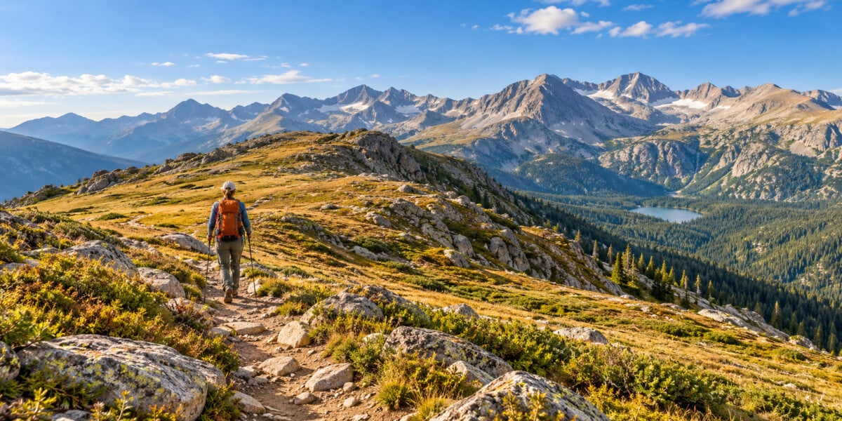
The Ute Trail across Tombstone Ridge is an approximately 4-mile out-and-back hike from Ute Crossing on Trail Ridge Road. It delivers open tundra and big mountain views without a long climb from the valley. The catch is the starting altitude: you step out of the car at 11,435 feet, so even gentle uphill stretches can feel demanding.
Choose this walk if you want an alpine landscape and are comfortable with rocky footing, wind and exposure. Allow around 3–4 hours with breaks, and be happy to turn back early. The views do not require you to reach a summit.
Ute Trail to Tombstone Ridge at a glance
| Detail | What to plan for |
|---|---|
| Trailhead | Ute Crossing pullout on Trail Ridge Road, Rocky Mountain National Park, Colorado |
| Route | Out and back across Tombstone Ridge towards the treeline turnaround commonly called Timberline Pass |
| Distance | About 4 miles / 6.4 km return; shorter if you turn earlier |
| Starting elevation | 11,435 feet / 3,485 metres in the NPS alpine trail guide |
| Total ascent | A specialist four-mile route profile reports around 405 feet / 123 metres; recorded totals vary |
| Time | Allow 3–4 hours for walking, breaks and photographs |
| Difficulty | Moderate for prepared, acclimatised hikers; altitude and weather can make it considerably harder |
| Access | Seasonal mountain-road access, limited roadside parking and any applicable park entry arrangements |
The NPS alpine trail guide lists the walk from Ute Crossing to treeline as 2 miles each way. Rocky Mountain Hiking Trails’ route description identifies the roughly two-mile turnaround as Timberline Pass and supplies the cumulative ascent estimate above. Use the route endpoints when comparing hiking apps, since “Tombstone Ridge” tracks do not all finish in the same place.
Getting to Ute Crossing and finding parking
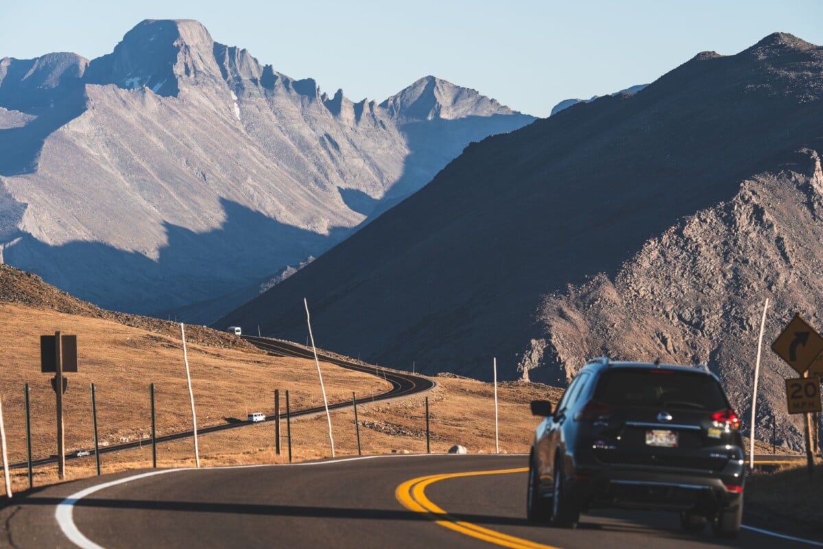
Use Ute Crossing, not the Alpine Visitor Center trailhead. Another section of the Ute Trail runs between the Alpine Visitor Center and Milner Pass. It is a different hike.
The NPS guide places Ute Crossing about 7.4 miles east of the Alpine Visitor Center on Trail Ridge Road. Save the trailhead and park map before you lose reception, and check the sign when you arrive.
The roadside parking area is small. Arrive with a backup plan and use designated spaces only. A timed-entry reservation allows entry under its terms; it does not reserve a parking space. Fill your water bottles and use a toilet before driving to the trailhead.
Trail Ridge Road closes seasonally and can also close during the open season because of weather. Consult the NPS road-status page; the park directs visitors to 970-586-1222 for its recorded road-status update. Road access should be settled before you plan the hike.
What the Tombstone Ridge hike is like
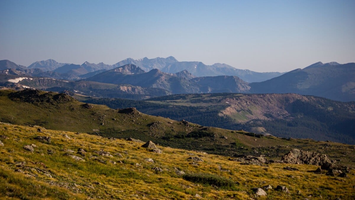
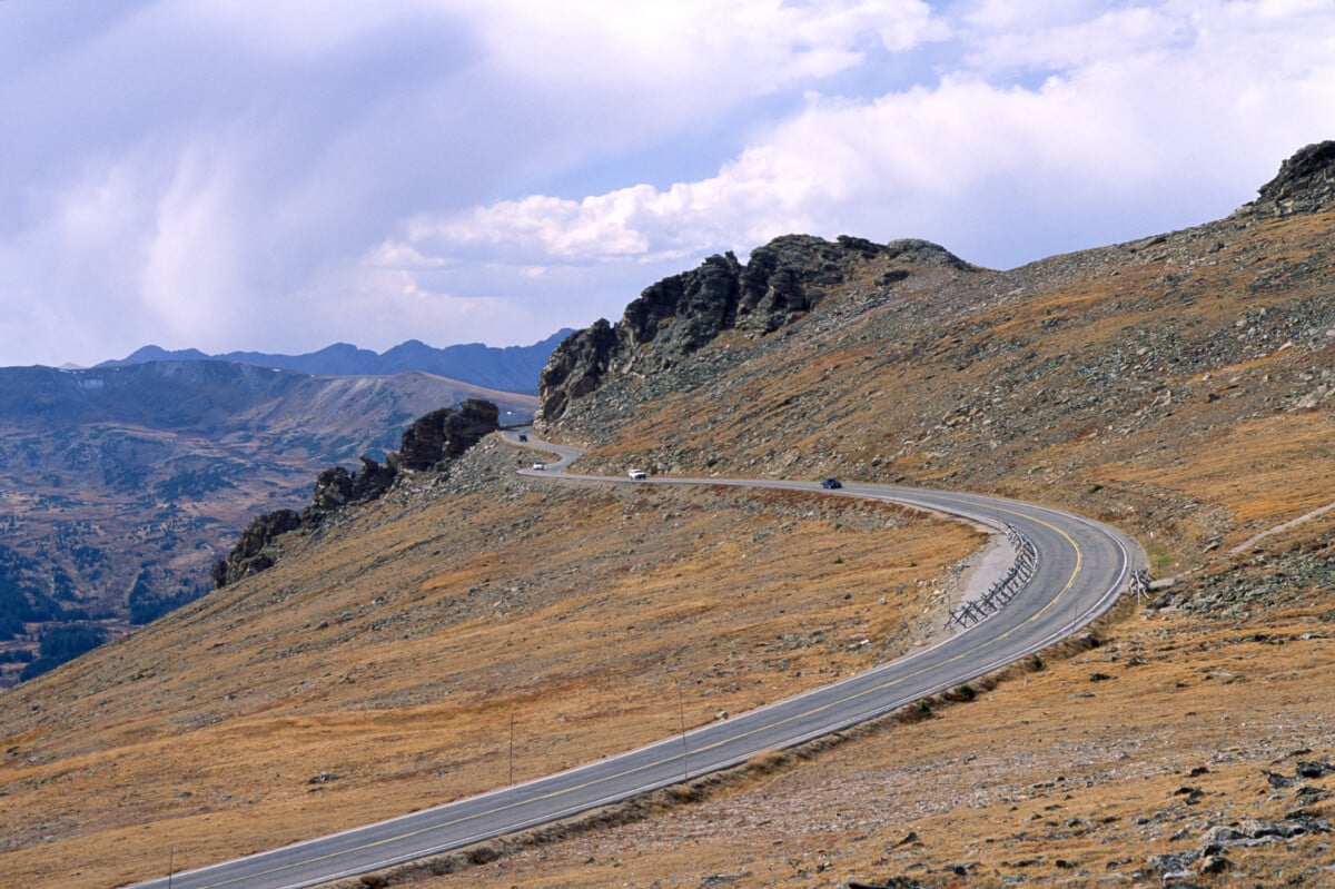
The established path crosses open tundra over rolling, sometimes rocky ground. You gain wide views quickly, with Longs Peak and Forest Canyon among the landmarks described in the specialist route guide. There is little tree cover on the ridge, which makes the scenery expansive and the weather hard to escape.
This is a good walk for enjoying the landscape rather than chasing a high summit. Give yourself time to stop, look around and catch your breath. The modest ascent figure does not tell the whole story when you are walking well above 11,000 feet.
Stay on the established trail. Alpine plants grow slowly, and walking around a muddy patch can widen the damage. Keep an offline map available even in clear weather, since cloud or lingering snow can make an open ridge harder to navigate.
Where should you turn around?
For the approximately four-mile outing, turn near the treeline at the point commonly called Timberline Pass, then retrace the same trail. The NPS guide labels its destination “treeline”; do not expect every map to use the pass name.
The Ute Trail continues downhill beyond this area. Following it farther means a longer outing and a climb back to your car. A continuous trail on the map is not a reason to extend your walk without checking the distance.
For a shorter version, simply turn earlier on the same path. Set a latest turnaround time before starting and let the slowest hiker determine the pace. There is no need to find a named viewpoint or climb off-trail to make the walk worthwhile.
When to hike and what weather to expect
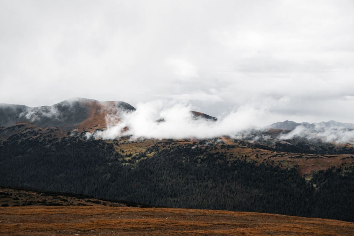
Plan this as a summer or early-autumn alpine hike when the road is open and trail conditions suit your group. Snow can linger after road opening, and an autumn storm can bring winter conditions quickly. Use the park’s current conditions and alerts alongside a high-elevation forecast.
Check wind, temperature and thunderstorm risk for the ridge rather than relying on the forecast for Estes Park. Starting early can give you more room to change plans, but it does not guarantee clear weather.
A waterproof shell and warm layer are useful even on a sunny morning. If snow, ice or poor visibility would require skills or equipment you do not have, choose a lower walk instead.
Lightning on an exposed ridge
There is no dependable storm shelter along the open ridge. Watch the sky and turn back before a storm reaches you, leaving enough time to get to the car.
The NPS lightning guidance identifies a substantial enclosed building or hard-topped vehicle as shelter. An isolated tree or rock overhang does not offer the same protection. If you hear thunder, abandon the planned endpoint and make reaching proper shelter the priority.
Take the altitude seriously
If you have just arrived from low elevation, allow time to adjust before attempting this walk. Start slowly and check how everyone feels rather than judging the effort by mileage alone.
The park’s altitude-illness guidance lists headache, nausea, dizziness and unusual fatigue among the warning signs. Stop ascending if symptoms appear; descend if they worsen. Confusion, difficulty walking or breathlessness at rest requires urgent medical attention. Reaching the turnaround is never worth pushing through illness.
Park entry, timed entry and trail rules
Entrance fees and timed-entry reservations are separate. As listed by NPS for 2026, a private vehicle pass costs $30 for one day or $35 for seven days. Non-US residents aged 16 and over also face a $100 per-person fee unless covered by an eligible pass. Check the official fee and pass terms for your group before buying.
For Ute Crossing, the general Timed Entry option covers the relevant park area; access to Bear Lake Road is not needed for this trail. Reservation dates and hours are seasonal, so use the current NPS timed-entry calendar for your visit. An entrance pass does not replace a required reservation.
If you are visiting several parks, our guide to whether a US national park pass is worth it can help with the wider itinerary. Confirm current prices and residency rules with NPS.
- Dogs: pets are not allowed on RMNP trails. Service animals have separate rules.
- Wildlife: give animals space, keep food secure and never feed them.
- Trail care: stay on the path, pack out rubbish and obey closures.
What to pack
Pack for the return walk as well as the sunny start. You will be away from the car in exposed terrain.
- Water for the full outing, snacks and a little extra food.
- A waterproof shell, warm layer, hat and gloves.
- Sunscreen, sunglasses and sun-protective clothing.
- Grippy walking footwear suited to uneven rock.
- An offline map, backup navigation and a charged phone.
- A headtorch, first-aid kit and emergency shelter.
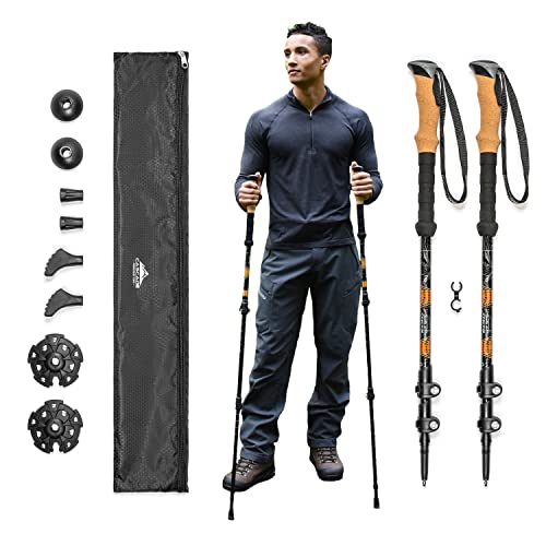
- Trekking poles if you find them helpful on rough ground.
If you are choosing footwear, our hiking shoes and boots review compares the options. Use shoes you have already walked in rather than breaking in a new pair on the ridge.
Adjustable poles can be useful for balance. Check their packed length if you are flying with them. The product recommendation below may earn us a commission.
Cascade Mountain Tech
WALKING_STICK
We earn a commission if you buy through this link, at no extra cost to you.
Where to stay before the hike
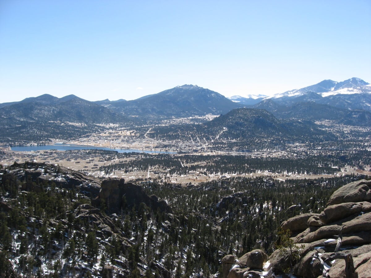
Estes Park is a practical base for eastern park access. It gives you somewhere to organise supplies and choose a lower-elevation activity before your alpine day. Staying in town still leaves a mountain-road drive to Ute Crossing, so include that in your morning plan.
Ute Trail FAQs
Is the Ute Trail to Tombstone Ridge easy?
The route has relatively modest climbing, but its high altitude and exposed setting make it more demanding than a similar-distance valley walk. Prepared beginners may enjoy a shorter out-and-back after acclimatising. Choose another trail if anyone is unwell or uncomfortable with the conditions.
Is Tombstone Ridge a summit hike?
This outing follows the Ute Trail across the ridge towards treeline. You do not need to leave the trail or reach a separate summit. The approximately four-mile version uses the Timberline Pass area as its turnaround.
Can you hike it one way?
The wider Ute Trail continues into lower terrain, but a one-way hike needs its own distance, descent and transport plan. For this route, return to your car at Ute Crossing along the same trail.